
Introduction
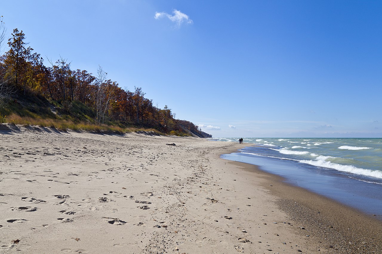
Indiana is a U.S. state covering 94,326 km², with a population of ~6.9 million. Its capital is Indianapolis, and the state features a diverse geographic landscape. Glacially flattened plains across the northern and central regions with fertile till plains, unglaciated hilly terrain in the south with karst topography, limestone caves, and forested knobs along the Ohio River valley Notable geographic features include Indiana Dunes, Hoosier National Forest, Ohio River Valley, Wyandotte Cave, and Brown County Hills. The geography of Indiana has shaped its settlement patterns, economic development, and cultural identity.

Physical Geography
The physical geography of Indiana encompasses diverse landforms and terrain. Glacially flattened plains across the northern and central regions with fertile till plains, unglaciated hilly terrain in the south with karst topography, limestone caves, and forested knobs along the Ohio River valley The state's mountain systems include Indiana has no true mountains; Hoosier Hill at 383 m is the highest point in the north-central part of the state; the Crawford Upland and Norman Upland in the south have rugged hills reaching 300 m; Brown County's 'Little Smokies' are deeply dissected hills. Major waterways include Wabash River (764 km total, largest northern tributary of the Ohio), Ohio River (southern border), White River (East and West Forks), Tippecanoe River, Whitewater River, St. Joseph River. These physical features create distinct geographic regions within the state, each contributing to Indiana's unique character.
Climate & Weather
Indiana's climate varies across the state. Humid continental with hot summers (average 30°C July) and cold winters (average -4°C January); southern Indiana transitions toward humid subtropical; average annual precipitation 1,000–1,170 mm; lake-effect snow along Lake Michigan shore These climate patterns directly influence the state's agriculture, outdoor recreation, and daily life for residents across different regions.
Natural Resources & Environment
Indiana possesses a variety of natural resources and ecosystems. Limestone (Salem Limestone quarried for US government buildings), coal, corn, soybeans, hog farming, timber, gypsum, sand and gravel, natural gas The state's ecosystems include Indiana Dunes (globally rare dune-and-swale ecosystem with 1,100 plant species), beech-maple forests, bottomland hardwood forests, karst cave systems with Indiana bat populations, remnant prairies, Muscatatuck bottomlands These natural assets support the state's economy and provide habitat for diverse plant and animal communities.
Human Geography
Indiana has a population of ~6.9 million, distributed across urban centers and rural communities. Major cities include Indianapolis (2.1M metro), Fort Wayne (419K metro), Evansville (315K metro), South Bend (324K metro), Carmel (102K city). The state capital, Indianapolis, serves as the center of government. Population distribution reflects the influence of geographic factors on settlement patterns throughout the state's history.
Economy & Industry
Indiana's economy of approximately $450 billion GDP is defined by its manufacturing heritage built on glacially-flattened terrain that facilitated road and rail infrastructure. The state is a top-five US manufacturing state, with the automotive industry — centered in the region between Indianapolis, Fort Wayne, and South Bend — generating over $43 billion annually. Steel production in the Gary-Hammond area on Lake Michigan, fueled by access to iron ore via Great Lakes shipping and coal from the Illinois Basin, made northwest Indiana one of the most productive steel regions in the world. Salem Limestone, quarried in south-central Indiana's karst terrain, was used in the Empire State Building, the Pentagon, and the National Cathedral, establishing Indiana as the "Limestone Capital of the World." Agriculture on the fertile till plains produces corn, soybeans, and hog farming. The Indiana Dunes on Lake Michigan support growing tourism.
Notable Landmarks
Indiana's geographic landmarks reflect the contrast between its glaciated plains and unglaciated southern hills. Indiana Dunes National Park on the southern shore of Lake Michigan preserves a globally rare dune-and-swale ecosystem where boreal, temperate, and prairie plant communities coexist — botanist Henry Cowles' pioneering work here established the science of plant succession ecology. The Lincoln Boyhood National Memorial in Spencer County marks where Abraham Lincoln grew up in the forested hills of southern Indiana. Wyandotte Caves in the Crawford Upland are among the longest cave systems in the eastern US, with formations including the 24 m Monument Mountain — the largest known underground mountain in the world. Brown County, Indiana's hill country, presents deeply dissected terrain with autumn foliage that has attracted artists since the early 20th century. The Hoosier National Forest covers 800 km² of rugged southern Indiana terrain.
Geography & Culture
Indiana's cultural geography is shaped by the distinct landscape divide between the flat, glacier-smoothed plains of the north and center and the rugged, unglaciated hills of the south. Northern Indiana's flat terrain and access to Lake Michigan facilitated rapid industrialization, with the Calumet region becoming a major steel and manufacturing hub drawing Eastern European and African American workers. The fertile central plains supported a dense agricultural society of German, English, and Quaker settlers who established Indiana's stereotypical Midwestern identity — the origin of the "Hoosier" cultural archetype tied to unpretentious rural values. Southern Indiana's forested hills, settled from Kentucky and Virginia, developed an Appalachian-influenced culture distinct from northern Indiana. Indianapolis, positioned at the geographic center of the state at the intersection of the National Road and key rail lines, grew into the "Crossroads of America" — the state motto — reflecting how the flat central terrain made it a natural transportation hub.
Key Geographic Facts
- Indiana Dunes National Park along Lake Michigan's southern shore contains 1,100 native plant species — the 4th most biodiverse national park per area in the US
- Indiana's Salem Limestone Belt is one of the most productive limestone quarrying regions in the world, providing stone for the Empire State Building and Pentagon
- Southern Indiana contains extensive karst landscape with over 1,000 documented caves, including Wyandotte Cave, one of the largest in the US
- The Wabash River at 764 km is the longest free-flowing river east of the Mississippi River without a dam on its main stem
- Indiana was almost entirely covered by glaciers during the Ice Age, except for the hilly southern region which remained unglaciated
Fun Facts
- Indiana Dunes was the birthplace of the science of ecology — Henry Cowles conducted pioneering ecological succession studies there in 1899
- Marengo Cave, a US National Landmark, features formations estimated at 1 to 5 million years old in the state's karst belt
- Indiana's flatness in the north is due to the Wisconsin Glacier which retreated about 14,000 years ago, leaving behind the Great Lakes and till plains
- The Blue River in southern Indiana is one of the cleanest rivers in the Midwest and harbors 15 species of freshwater mussels