
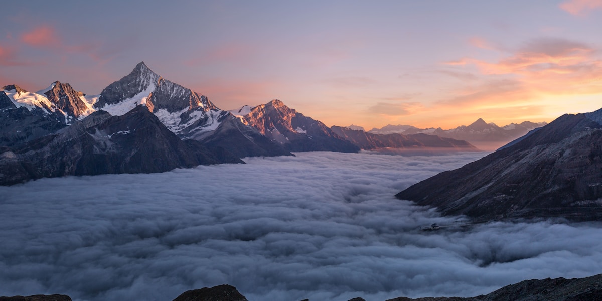
New Hampshire is the most mountainous state in New England, dominated by the White Mountains in the northern half — a rugged range of granite peaks that includes Mount Washington, the highest point in the northeastern United States at 1,917 meters. The White Mountains attract more visitors than any other outdoor destination in New England.
Introduction
The state's landscape was profoundly shaped by glaciation. Ice sheets carved the dramatic mountain notches (glacial passes), scoured lake basins, deposited moraines, and left behind the granite landscape that gives New Hampshire its "Granite State" nickname.
From the 29-km seacoast on the Atlantic to the 1,917-meter summit of Mount Washington, New Hampshire packs extraordinary vertical relief into a compact state of just 24,214 square km.

Major Geographic Features
Mount Washington
Mount Washington at 1,917 meters (6,288 feet) is the highest peak in the northeastern United States and is famous for having some of the most extreme weather on Earth. The summit held the world wind speed record of 372 km/h (231 mph) from 1934 to 2010. The Presidential Range, of which Washington is the centerpiece, features an above-treeline alpine zone of 32 square km — the largest alpine area in the eastern US. Tuckerman Ravine, a massive glacial cirque on the southeast face, is a renowned spring skiing destination.
Franconia Notch
Franconia Notch is a spectacular glacial pass between the Franconia and Kinsman Ranges, where granite walls rise 300 meters on either side of a narrow valley. The Flume Gorge, a slot canyon at the base of Mount Liberty, extends 250 meters between granite walls 21 meters high and only 3.6 meters apart. Profile Lake reflects the surrounding peaks, and the Cannon Cliff provides one of the most challenging rock climbing routes in the East at 300 meters.
Crawford Notch & Presidential Range
Crawford Notch is a deep glacial valley separating the Presidential and Willey Ranges, with the Saco River flowing through its floor. The notch walls rise 600 meters on either side. The Mt. Washington Auto Road climbs 1,400 vertical meters over 12.5 km, and the Mt. Washington Cog Railway (built 1869) was the world's first mountain-climbing cog railway. The Presidential Range contains 8 peaks over 1,500 meters, all named for US presidents.
Lake Winnipesaukee
Lake Winnipesaukee in central New Hampshire is the largest lake in the state at 182 square km, with a maximum depth of 55 meters. The lake occupies a complex glacially carved basin with 365 islands and a highly irregular shoreline of 290 km. The name means "smile of the Great Spirit" in the Abenaki language. The lake sits in the Lakes Region, which contains over 270 glacial lakes and ponds within a relatively small area.
Kancamagus Highway Corridor
The Kancamagus Highway crosses 56 km of the White Mountains from Lincoln to Conway, climbing to 870 meters at Kancamagus Pass. The highway follows the Swift and Hancock Branch rivers through some of the most rugged and scenic mountain terrain in New England. Along the route, Sabbaday Falls, Rocky Gorge, and the Boulder Loop Trail showcase the granite geology and glacially carved landscape of the central White Mountains.
Connecticut River Valley
New Hampshire's western border follows the Connecticut River for 290 km, creating a broad valley between Vermont's Green Mountains and New Hampshire's western uplands. The valley floor holds fertile alluvial soils and sits at 60-150 meters elevation. Glacial Lake Hitchcock once filled this valley to a depth of 60 meters during the Pleistocene, leaving behind flat terraces of lake-bottom sediments visible above the current river.
New Hampshire Seacoast
New Hampshire's 29-km seacoast is the shortest ocean coastline of any coastal US state. Despite its brevity, it features rocky headlands, tidal marshes, and the Isles of Shoals, a cluster of small islands 10 km offshore. The coastline exposes ancient metamorphic rock that records the collision of continents over 400 million years ago. Great Bay, a 26 square km tidal estuary upstream from Portsmouth, is one of the most significant estuaries in the Northeast.
Key Geographic Facts
- Mount Washington at 1,917 m (6,288 ft) is the highest peak in the northeastern US
- Lake Winnipesaukee at 182 sq km is New Hampshire's largest lake with 365 islands
- The White Mountains contain 48 peaks over 1,219 m (4,000 ft)
- New Hampshire has only 29 km of ocean coastline, the shortest of any coastal state
- Mount Washington recorded a wind speed of 372 km/h in 1934
Fun Facts
- Mount Washington held the world wind speed record (372 km/h) for 76 years until 2010
- The Flume Gorge walls are only 3.6 meters apart but 21 meters high
- The Mt. Washington Cog Railway (1869) was the world's first mountain-climbing cog railway
- New Hampshire's 29-km coastline packs in rocky headlands, tidal marshes, and an offshore island chain
Final Thoughts
New Hampshire is a compact powerhouse of mountain geography. The White Mountains offer the highest and most rugged terrain in the northeastern United States, with extreme weather, alpine tundra, glacial notches, and granite gorges packed into a small but dramatic landscape. From the wind-blasted summit of Washington to the forested shores of Winnipesaukee, the Granite State lives up to its reputation.
Test Your Knowledge!
Think you know your US state geography? Try our interactive quiz!
Play Country Quiz →