
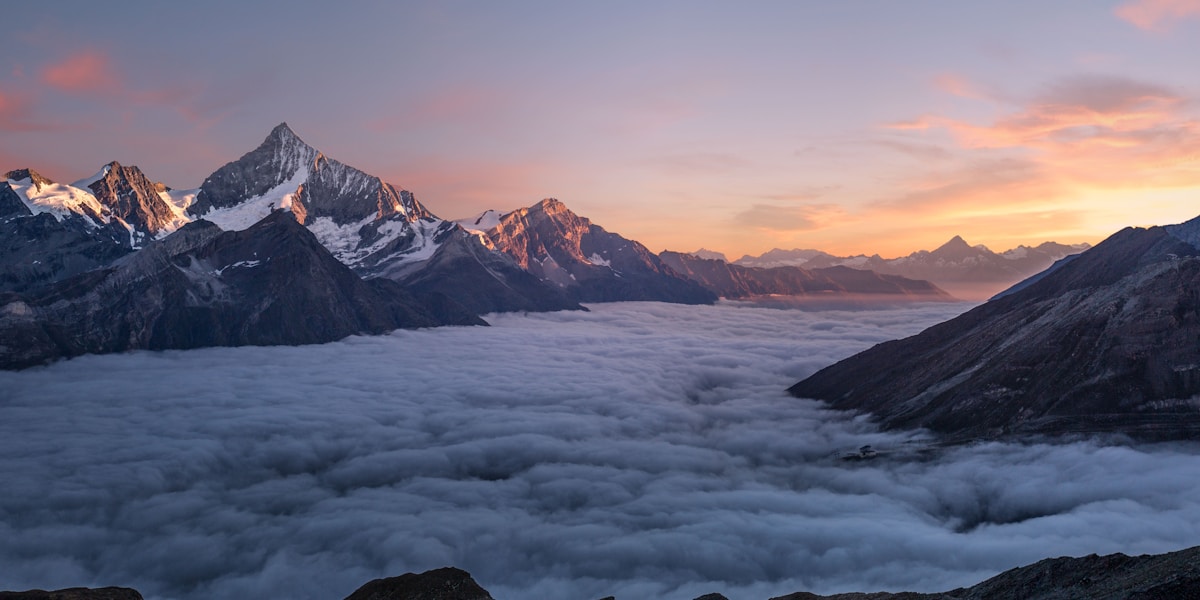
California's geography is a study in extremes. Within its borders lie both the highest point in the contiguous United States (Mount Whitney at 4,421 m) and the lowest point in all of North America (Badwater Basin at -86 m) — separated by just 136 km. The state stretches 1,350 km from north to south and encompasses deserts, alpine peaks, volcanic landscapes, temperate rainforests, and a stunning Pacific coastline.
Introduction
Sitting astride the boundary between the Pacific and North American tectonic plates, California's geology is dynamic and ever-changing. The San Andreas Fault system, responsible for major earthquakes, runs 1,300 km through the state and continues to shape the landscape today.

Major Geographic Features
Yosemite Valley
Yosemite Valley in the Sierra Nevada is a glacially carved masterpiece featuring sheer granite walls, towering waterfalls, and iconic rock formations. Half Dome rises 1,444 meters above the valley floor, while El Capitan presents a 900-meter vertical granite face that is the premier big-wall climbing destination in the world. Yosemite Falls drops 739 meters in three tiers, making it the tallest waterfall in North America.
Death Valley and Badwater Basin
Death Valley holds the record for the hottest air temperature ever reliably recorded on Earth: 56.7°C (134°F) on July 10, 1913. Badwater Basin sits at -86 meters (-282 feet) below sea level, the lowest point in North America. The valley is a graben — a block of land that has dropped between two parallel fault lines — and continues to sink while the surrounding mountains rise.
Mount Whitney
Mount Whitney stands at 4,421 meters (14,505 feet), making it the highest point in the contiguous United States. The peak is part of the Sierra Nevada range, which stretches 640 km along eastern California. Remarkably, Mount Whitney is only 136 km from Badwater Basin, creating an elevation difference of over 4,500 meters — the greatest topographic relief in the lower 48 states.
Mojave Desert
The Mojave Desert covers roughly 124,000 square km across southeastern California, Nevada, Utah, and Arizona. In California, it features Joshua Tree National Park with its distinctive Joshua trees, the Kelso Dunes rising 200 meters, and numerous dry lake beds (playas). The desert sits at a higher elevation than the Sonoran Desert to the south, giving it cooler winters.
Big Sur Coastline
The Big Sur coast stretches 145 km along central California, where the Santa Lucia Mountains plunge directly into the Pacific Ocean. Sea cliffs rise over 300 meters in places, creating one of the most dramatic meetings of land and sea anywhere in the world. The rugged coastline is shaped by active tectonic uplift and relentless Pacific wave action.
Sequoia Groves
The western slopes of the Sierra Nevada harbor the world's largest trees by volume — the giant sequoias (Sequoiadendron giganteum). The General Sherman Tree in Sequoia National Park is the largest living tree on Earth by volume at 1,487 cubic meters. These ancient groves grow at elevations between 1,500 and 2,400 meters in a narrow band of the Sierra Nevada.
San Andreas Fault
The San Andreas Fault is a 1,300 km transform fault marking the boundary between the Pacific and North American tectonic plates. The Pacific Plate moves northwestward relative to the North American Plate at roughly 46 mm per year. The fault has produced devastating earthquakes, including the 1906 San Francisco earthquake (magnitude 7.9) and the 1989 Loma Prieta earthquake (magnitude 6.9).
Channel Islands
The Channel Islands are a chain of eight islands off the southern California coast, with the northernmost group protected as Channel Islands National Park. Often called the "Galapagos of North America," the islands support over 150 endemic species found nowhere else on Earth, including the island fox. The islands were formed by volcanic activity and tectonic uplift millions of years ago.
Key Geographic Facts
- Mount Whitney at 4,421 m is the highest point in the contiguous United States
- Badwater Basin at -86 m is the lowest point in North America
- The San Andreas Fault extends 1,300 km through the state
- California's coastline stretches approximately 1,350 km
- Death Valley recorded 56.7°C, the highest reliably measured air temperature on Earth
- The Sierra Nevada range is 640 km long and contains over 500 peaks above 3,600 m
Fun Facts
- The distance between the highest and lowest points in the contiguous US is only 136 km in California
- The General Sherman Tree has a volume of 1,487 cubic meters — enough to fill nearly 10 million glasses of water
- The Pacific Plate carrying Los Angeles is moving toward the North American Plate carrying San Francisco at 46 mm per year — in about 15 million years, Los Angeles will be a suburb of San Francisco
- Yosemite Falls is dry most summers despite being the tallest waterfall in North America
- The Channel Islands are home to a pygmy mammoth species that went extinct about 13,000 years ago
Final Thoughts
California packs more geographic superlatives into one state than perhaps any other place on Earth. From the highest contiguous US peak to the lowest point in North America, from the world's largest trees to one of its most active fault lines, California is a living laboratory of geological forces that continues to reshape itself.
Test Your Knowledge!
Think you know your US state geography? Try our interactive quiz!
Play Country Quiz →