
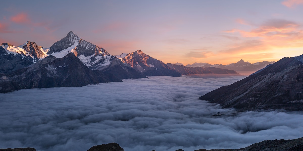
The Scottish Highlands are a mountainous region in northern Scotland that represents the deeply dissected remains of an ancient plateau. While individual peaks like Ben Nevis (1,345 m) are well known, the landscape as a whole preserves the eroded surface of a vast tableland that once rose much higher, with summit plateaus and flat-topped ridges revealing the original plateau surface at 600-900 meters across much of the region.
Introduction
The geology of the Highlands spans an extraordinary 3 billion years — from the Lewisian gneiss of the northwest, among the oldest rocks in Europe, to the Caledonian mountain-building event 400 million years ago. Ice Age glaciers sculpted the plateau into the dramatic landscape of glens, lochs, and corries visible today, while the post-glacial ecology of peatlands, ancient Caledonian pine forests, and oceanic heathlands makes the Highlands one of Britain's most important natural areas.

Geography & the Plateau Surface
- Area: ~25,000 km²
- Highest Point: Ben Nevis, 1,345 m
- Average Plateau Surface: 600-900 m
- Major Divide: Great Glen fault (60 km long)
The Scottish Highlands are divided by the Great Glen, a major geological fault running northeast to southwest from Inverness to Fort William, containing Loch Ness. Northwest of the Great Glen, the landscape is characterized by isolated peaks rising above a heavily eroded plateau surface. Southeast, the Cairngorms and Grampians preserve broader areas of the original plateau, with the Cairngorm plateau above 1,000 meters being the largest area of high ground in the British Isles.
The Cairngorm plateau is the best example of the ancient surface, forming a broad, gently undulating tableland punctuated by granite tors. This area experiences a sub-arctic climate with snow lying for 100+ days per year on the highest ground. The plateau surface represents the base of a mountain range that was once comparable in height to the Alps, eroded over hundreds of millions of years to its present subdued elevation.
Geology & Deep Time
- Oldest Rocks: Lewisian gneiss, ~3 billion years
- Great Glen Fault: ~400 million years old, 130 km horizontal displacement
- Glaciation: Multiple ice ages over the past 2.6 million years
- Last Glaciation: Ended ~11,500 years ago
The northwest Highlands contain some of the oldest rocks in Europe: the Lewisian gneiss complex, formed 2.7 to 3 billion years ago from ancient volcanic and sedimentary rocks metamorphosed deep within the Earth's crust. Above these sit the Torridonian sandstones (1 billion years old), which form the distinctive red-brown mountains of Torridon, Assynt, and Coigach.
The Highlands were shaped by the Caledonian orogeny, a mountain-building event that occurred roughly 400-490 million years ago when the continents of Laurentia and Baltica collided. This collision pushed up a mountain range comparable to the modern Himalayas. The Great Glen fault, which displaces rocks by 130 kilometers, was created during this event. Subsequent erosion, followed by repeated glaciation, reduced these mountains to the plateau remnants visible today.
Ecology & Rewilding
- Habitat Types: Blanket bog, heather moorland, Caledonian pine forest, montane
- Native Pine Forest: ~1% of original Caledonian forest remains
- Key Species: Red deer, golden eagle, pine marten, Scottish wildcat
- Rewilding Projects: Cairngorms Connect, Trees for Life
The Highlands once supported extensive Caledonian pine forest, a temperate rainforest of Scots pine, birch, rowan, and oak. Centuries of burning, grazing, and timber extraction reduced this forest to roughly 1% of its original extent — estimated at 1.5 million hectares. The remaining native pinewoods, such as those at Rothiemurchus, Abernethy, and Glen Affric, are among Britain's most important nature reserves.
Rewilding initiatives are now working to restore the Highland landscape. Cairngorms Connect, covering 60,000 hectares, is one of the largest landscape-scale restoration projects in Britain. Trees for Life aims to restore native woodland across the Glen Affric and Glen Moriston areas. The reintroduction of beavers to Scotland (formally in 2009) has been followed by proposals to reintroduce lynx, and the more distant possibility of wolves. Red deer, currently at unnaturally high densities due to the absence of natural predators, are the primary barrier to natural forest regeneration.
Climate & Human History
- Temperature Range: -27°C to 32°C (recorded extremes)
- Annual Rainfall: 600-4,000 mm (varies dramatically by location)
- Population Density: ~9 people per km²
- Highland Clearances: 1750s-1880s
The Highland climate varies enormously over short distances. The west coast receives 3,000-4,000 mm of rainfall annually (with some spots exceeding 4,500 mm), making it one of the wettest places in Europe. The eastern Highlands receive as little as 600 mm, creating a dramatic rain shadow effect. The Cairngorm plateau experiences conditions comparable to northern Scandinavia, with wind speeds exceeding 170 mph recorded at the summit.
The human history of the Highlands was profoundly shaped by the Highland Clearances of the 18th and 19th centuries, when thousands of families were forcibly evicted to make way for sheep farming. This depopulation, combined with subsequent emigration, reduced the Highland population from an estimated 300,000 to under 200,000 and created the sparsely inhabited landscape visible today. The cleared lands were later converted to sporting estates for deer stalking and grouse shooting, land uses that continue to shape the landscape.
Hiking & Munro Bagging
- Munros: 282 peaks over 3,000 feet (914 m)
- Long-Distance Trails: West Highland Way (154 km), Cape Wrath Trail (370 km)
- Best Season: May-September
- Annual Hillwalkers: Millions, concentrated on popular Munros
Munro bagging — the pursuit of climbing all 282 Scottish peaks over 3,000 feet — is one of the UK's most popular outdoor activities, attracting hundreds of thousands of hillwalkers annually. Named after Sir Hugh Munro, who first listed the peaks in 1891, the Munros range from straightforward hill walks to serious mountaineering routes requiring rock climbing skills and winter equipment.
The West Highland Way, running 154 kilometers from Glasgow to Fort William, is Scotland's most popular long-distance trail. The Cape Wrath Trail (370 km) through the remote northwest Highlands is considered one of the toughest and most rewarding wilderness treks in Europe. The Highlands also offer world-class winter mountaineering in the Cairngorms and Ben Nevis area, with conditions that regularly challenge even experienced alpinists.
Key Facts
- The Highlands preserve an ancient plateau surface at 600-900 m, deeply carved by glaciation.
- Lewisian gneiss in the northwest is approximately 3 billion years old — among Europe's oldest rocks.
- Only ~1% of the original Caledonian pine forest remains.
- The Highland Clearances of the 1750s-1880s depopulated much of the region.
- There are 282 Munro peaks over 914 m, making Munro bagging a national pursuit.
Fun Facts
- Ben Nevis, Britain's highest peak, has the ruins of a weather observatory on its summit that operated from 1883 to 1904.
- The Cairngorm plateau has recorded wind speeds of over 170 mph — hurricane force.
- Loch Ness contains more water than all the lakes in England and Wales combined.
- The Great Glen fault has displaced rocks by 130 kilometers — meaning rocks on one side originally formed next to rocks now 130 km away on the other side.
Final Thoughts
The Scottish Highlands are a palimpsest of deep geological time — 3-billion-year-old gneiss, 400-million-year-old mountain belts, Ice Age glacial sculpture, and the ongoing human reshaping of the landscape. The plateau that once rose as high as the Alps has been reduced to a wilderness of moors, lochs, and peaks that is both haunting and beautiful. As rewilding projects begin to restore the Highland ecosystem, the landscape is entering a new chapter in its long and dramatic story.
Test Your Knowledge!
Think you know your plateaus and plains? Try our interactive quiz!
Play Geographic Features Quiz →