

GIS (Geographic Information System) is a computer system that captures, stores, analyzes, and displays geographic data on maps. GIS combines layers of information — from satellite imagery to census data to road networks — to help users visualize patterns, relationships, and trends that would be invisible in traditional data formats.
Introduction
From tracking disease outbreaks to planning evacuation routes, from managing forests to optimizing delivery routes, GIS has become one of the most important technologies of the 21st century. Nearly every industry — government, healthcare, agriculture, logistics, environmental science, and more — relies on GIS to make better decisions.
This guide explains what GIS is, how it works, its core components, and the applications that make it indispensable in the modern world.
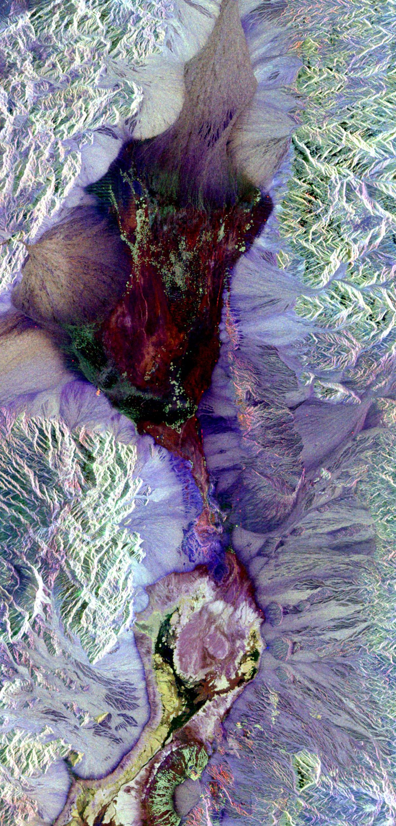
How GIS Works: The Layer Concept
- Base Layer: Typically satellite imagery or a street map
- Vector Layers: Points, lines, and polygons representing features like cities, roads, and boundaries
- Raster Layers: Grid-based data like elevation models, satellite imagery, and temperature maps
- Attribute Data: Non-spatial information linked to features (population, name, area, etc.)
- Analysis: Overlaying layers to reveal patterns and relationships
The fundamental concept behind GIS is layering. Imagine stacking transparent sheets on a light table — one showing roads, another showing rivers, another showing population density, and another showing elevation. GIS does this digitally, allowing you to turn layers on and off, combine them mathematically, and query them for specific information.
Each layer contains geographic features (where things are) linked to attribute data (what things are). A layer of cities might contain point locations linked to attributes like population, country, elevation, and founding date. A layer of countries might contain polygon boundaries linked to GDP, area, language, and government type. The power of GIS lies in analyzing relationships between these layers.
A Brief History of GIS
- 1960s: Roger Tomlinson creates the Canada Geographic Information System — the first true GIS
- 1970s: US Census Bureau develops DIME (Dual Independent Map Encoding) for census geography
- 1980s: Esri releases ARC/INFO, the first widely adopted commercial GIS software
- 1990s: Internet mapping emerges; GPS becomes available to civilians
- 2000s: Google Earth and Google Maps bring GIS concepts to the general public
- 2010s–2020s: Cloud GIS, real-time data, smartphone mapping, and AI-powered spatial analysis
The concept of overlaying maps for analysis predates computers. In 1854, Dr. John Snow plotted cholera deaths on a London street map and traced the epidemic to a contaminated water pump — one of history's most famous examples of spatial analysis. But modern GIS began in the 1960s when Roger Tomlinson developed the Canada Geographic Information System to analyze land use data.
Today, GIS has evolved from expensive, specialized software into an accessible tool available on smartphones. Open-source platforms like QGIS have democratized access, while cloud services like Esri's ArcGIS Online and Google Earth Engine allow anyone to perform sophisticated spatial analysis without installing software.
Core GIS Components
- Hardware: Computers, GPS receivers, drones, servers, mobile devices
- Software: ArcGIS (Esri), QGIS (open-source), Google Earth Engine, MapInfo
- Data: Satellite imagery, census data, GPS tracks, survey results, sensor feeds
- People: GIS analysts, cartographers, data scientists, field surveyors
- Methods: Spatial analysis techniques, cartographic standards, data management protocols
A GIS is not just software — it's a complete system. The hardware collects and processes data, from GPS receivers in the field to powerful servers running complex analyses. The software provides tools for data entry, analysis, and visualization. The data is the lifeblood of any GIS — without accurate, current data, the most sophisticated software is useless.
People are arguably the most important component. A skilled GIS analyst can extract meaningful insights from messy data, while a poorly trained user can produce misleading maps that misinform decisions. GIS education has expanded rapidly, with most universities now offering GIS courses and certifications.
Real-World GIS Applications
- Urban Planning: Zoning analysis, infrastructure management, transportation planning
- Environmental Science: Deforestation tracking, wildlife habitat mapping, pollution monitoring
- Public Health: Disease outbreak mapping, hospital accessibility analysis, epidemiology
- Disaster Management: Flood modeling, evacuation route planning, damage assessment
- Agriculture: Precision farming, soil analysis, crop yield prediction
- Business: Site selection, customer mapping, logistics optimization
GIS plays a critical role in disaster response. When hurricanes, earthquakes, or wildfires strike, emergency managers use GIS to map affected areas in real time, identify damaged infrastructure, plan evacuation routes, and allocate resources. During COVID-19, the Johns Hopkins University GIS dashboard became the world's primary tool for tracking the pandemic.
In agriculture, GIS powers precision farming — the practice of using spatial data to optimize crop management. Farmers use GIS to map soil types, moisture levels, and crop health from drone and satellite imagery, applying fertilizer and water only where needed. This reduces costs, increases yields, and minimizes environmental impact.
Businesses use GIS for everything from choosing store locations to optimizing delivery routes. Retailers analyze demographic data, traffic patterns, and competitor locations to find the ideal spot for a new store. Logistics companies use GIS to calculate the most efficient routes for thousands of delivery vehicles simultaneously.
Getting Started with GIS
- QGIS: Free, open-source desktop GIS — excellent for beginners
- ArcGIS Online: Cloud-based Esri platform with a free public account tier
- Google Earth: Free tool for 3D globe visualization and basic spatial exploration
- OpenStreetMap: Free, community-built global map dataset for GIS projects
- Esri Academy: Free online courses for learning ArcGIS tools and concepts
If you're new to GIS, start with QGIS — it's free, powerful, and runs on Windows, Mac, and Linux. Download free datasets from sources like Natural Earth (naturalearthdata.com) for world boundaries, OpenStreetMap for detailed features, and your country's census bureau for demographic data.
Many universities and organizations offer free GIS courses online. Esri's MOOC (Massive Open Online Course) series covers everything from beginner cartography to advanced spatial analysis. Google's Earth Engine platform provides free access to petabytes of satellite imagery for environmental research.
Key Facts
- GIS stands for Geographic Information System — it captures, stores, analyzes, and displays geographic data.
- The layer concept is fundamental: GIS stacks transparent data layers to reveal spatial patterns.
- Roger Tomlinson created the first true GIS in the 1960s for the Canadian government.
- Vector data uses points, lines, and polygons; raster data uses grids of cells (pixels).
- GIS is used in urban planning, environmental science, public health, disaster management, agriculture, and business.
Fun Facts
- Dr. John Snow's 1854 cholera map of London is considered the founding example of spatial epidemiology.
- The global GIS market is valued at over $14 billion and growing at approximately 12% per year.
- NASA's Landsat satellite program has provided continuous Earth observation imagery since 1972 — the longest-running civilian satellite program.
- Pokémon GO is essentially a GIS application — it overlays game data on real-world geographic coordinates.
Final Thoughts
GIS has evolved from a niche government tool into one of the most broadly applicable technologies in the world. By combining geographic data with powerful analysis tools, GIS helps us understand everything from disease spread patterns to deforestation rates to optimal pizza delivery routes. Whether you're a student, researcher, business analyst, or simply curious about the world, learning GIS opens doors to a deeper understanding of the spatial patterns that shape our lives.
Test Your Knowledge!
Think you know your geography? Try our interactive quizzes!
Play Geography Games →