
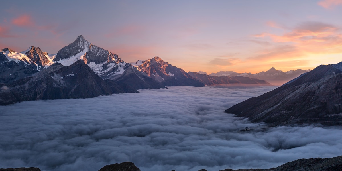
Mount Everest stands at 8,849 meters (29,032 feet) above sea level, making it Earth's highest point. This official height was announced jointly by China and Nepal on December 8, 2020, based on independent surveys by both countries that produced the same result — a rare moment of agreement between two nations that had long disputed the mountain's exact height.
Introduction
The question of Everest's height is more complex than it appears. The mountain sits on an active tectonic boundary and continues to grow by roughly 4 millimeters per year. Earthquakes can change its height in seconds — the 2015 Nepal earthquake may have reduced Everest's height by 2.5 centimeters. And the question of whether to measure to the rock summit or the snow cap has fueled decades of debate.

The Short Answer
- Official Height: 8,849 m (29,032 ft) above sea level
- Snow Cap: ~1-3 m of snow/ice on the summit (varies seasonally)
- Rock Height: ~8,846-8,848 m (without snow cap)
- Annual Growth: ~4 mm per year (tectonic uplift)
The 2020 joint announcement ended decades of disagreement. China had previously recognized 8,844.43 meters (measuring to the rock), while Nepal used 8,848 meters (measuring to the snow cap). The new agreed height of 8,849 meters measures to the snow surface and incorporates the latest GPS and geodetic technology.
The snow cap on Everest's summit varies in thickness from roughly 1 to 3 meters depending on the season and accumulated snowfall. Whether the "true" height should include the snow has been debated since the first precise measurements. The 2020 agreement effectively settled this by measuring to the snow surface, which is the height climbers actually experience.
The Science Behind It
- First Measurement: 1856, Great Trigonometric Survey of India: 8,840 m (Peak XV)
- 1955 Indian Survey: 8,848 m (the number used for decades)
- 1999 GPS Measurement: 8,850 m (National Geographic Society)
- 2020 Joint Survey: 8,849 m (China-Nepal agreement)
Everest was first measured in 1856 by the Great Trigonometric Survey of India, led by Andrew Waugh. Using theodolites from observation stations in the Indian plains over 160 kilometers away, the surveyors calculated a height of 29,002 feet (8,840 m). Remarkably, this measurement was only 9 meters off the currently accepted height — an extraordinary achievement given the technology available.
Modern measurement uses GPS receivers placed on the summit, combined with gravity measurements and geoid models to convert GPS-derived ellipsoidal height to height above mean sea level. The 2019-2020 Chinese and Nepali surveys each placed GPS equipment on the summit; the Chinese team also used ground-penetrating radar to measure the snow depth separately from the rock height.
Types & Variations
- Height Above Sea Level: 8,849 m (standard measurement)
- Height From Base: ~3,650 m from Tibetan Plateau base; ~8,000 m from south base
- Height From Center of Earth: Chimborazo (Ecuador) is actually farther from Earth's center
- Prominence: 8,849 m (equal to height — Everest has the highest prominence on Earth)
Everest is the highest point above sea level, but not the point farthest from Earth's center. Because Earth bulges at the equator, Chimborazo volcano in Ecuador (6,263 m above sea level) is actually about 2,168 meters farther from the center of the Earth than Everest's summit. However, "height above sea level" remains the standard measure.
Everest's topographic prominence — the height above the highest saddle connecting it to a higher peak — is 8,849 meters, equal to its full height. This is because Everest is the highest point on Earth; no higher peak exists to reduce its prominence. This makes Everest the most topographically prominent feature on the planet.
Famous Examples
- K2: 8,611 m (2nd highest)
- Kangchenjunga: 8,586 m (3rd highest)
- Mauna Kea: 10,210 m from base to summit (tallest from base)
- Chimborazo: 6,384 km from Earth's center (farthest from center)
The top five highest mountains are all in the Himalayas and Karakoram: Everest (8,849 m), K2 (8,611 m), Kangchenjunga (8,586 m), Lhotse (8,516 m), and Makalu (8,485 m). All 14 peaks above 8,000 meters are in this region, a consequence of the Indian-Eurasian plate collision that produced the world's highest terrain.
If height is measured from base to summit rather than above sea level, Mauna Kea in Hawaii is the tallest mountain at roughly 10,210 meters from its seafloor base to its summit. But since most of Mauna Kea is below sea level, it stands only 4,207 meters above the ocean surface.
Why It Matters
- Human Achievement: Over 6,000 people have summited the highest point on Earth
- Climate Indicator: Snow and ice on Everest track climate change
- Tectonic Monitor: Height changes reveal tectonic and seismic activity
- National Pride: Height measurement is a matter of sovereignty for Nepal and China
Everest's height is a matter of national significance for both Nepal and China. The mountain straddles their border, and its precise measurement involves questions of sovereignty, technical capability, and international prestige. The 2020 joint announcement was a diplomatic achievement as much as a scientific one.
The mountain's height is not permanent. Tectonic forces push it upward by roughly 4 mm per year, but erosion, earthquakes, and changes in snow cover can reduce it. The 2015 earthquake that killed nearly 9,000 people in Nepal may have reduced Everest's height by about 2.5 cm. Future surveys will continue to refine the measurement.
Key Facts
- Mount Everest stands at 8,849 m (29,032 ft) as confirmed jointly by China and Nepal in 2020.
- The mountain grows ~4 mm per year due to tectonic uplift from the India-Eurasia collision.
- Everest was first measured in 1856 at 8,840 m — remarkably close to the current value.
- The 2015 Nepal earthquake may have reduced Everest's height by about 2.5 cm.
- Chimborazo in Ecuador is actually farther from Earth's center than Everest, due to the equatorial bulge.
Fun Facts
- The first measurement of Everest in 1856 calculated 29,002 feet — the surveyors added 2 feet to avoid the impression it was a rounded estimate.
- Everest's summit is roughly the size of two ping-pong tables.
- The summit of Everest contains marine limestone fossils from the ancient Tethys Sea.
- Over 300 people have died attempting to climb Everest, with roughly 200 bodies still on the mountain.
Final Thoughts
Mount Everest's height of 8,849 meters is both a precise scientific measurement and a number laden with national pride, human ambition, and geological significance. The fact that we continue to refine this measurement — and that the mountain itself continues to change — reminds us that even the most seemingly permanent features of our planet are dynamic. Everest is not just the highest point on Earth; it is a continuously evolving product of the same tectonic forces that built the Himalayas.
Test Your Knowledge!
Curious about geography? Test what you've learned!
Play Geography Games →