
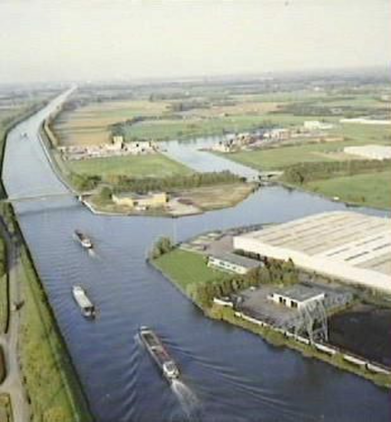
The Juliana Canal is a 36-kilometer ship canal in the southeastern Dutch province of Limburg, running parallel to the Meuse River between Maastricht and Maasbracht. It was built to bypass a stretch of the Meuse where rapids and shallow gravel beds made navigation impossible for large commercial vessels.
Introduction
Named after Princess Juliana (later Queen Juliana of the Netherlands), the canal was opened in 1935 and immediately transformed South Limburg's economic connections. It enabled the region's coal mines and industries to ship their products by barge to Rotterdam, Antwerp, and the wider European market.

History & Construction
- Opened: 1935
- Named After: Princess Juliana (later Queen)
- Purpose: Bypass unnavigable Meuse rapids
- Region: South Limburg, Netherlands
South Limburg is an anomaly in the famously flat Netherlands — it is hilly terrain where the Meuse River cuts through limestone and gravel deposits, creating rapids that blocked navigation by large vessels. The region's growing coal mining industry desperately needed a waterway connection to the Dutch port system.
Construction of the Juliana Canal solved this problem by creating a parallel channel that maintained a navigable depth alongside the troublesome section of the Meuse. The canal was opened by Princess Juliana in 1935 and quickly became the primary freight route for South Limburg's coal, chemicals, and industrial products.
Geographic Setting
- Length: 36 km
- Route: Maastricht to Maasbracht, parallel to Meuse
- Province: Limburg, Netherlands
- Terrain: Hilly — unusual for the Netherlands
The Juliana Canal runs through the most un-Dutch landscape in the Netherlands: the rolling hills of South Limburg, where elevations reach over 300 meters — the highest land in the country. The canal is cut into the hillside in places, offering views across the Meuse valley that are strikingly different from the flat polder landscapes elsewhere in the Netherlands.
The canal connects to the canalised Meuse at both ends: at Maastricht in the south (where it meets the Belgian waterway system) and at Maasbracht in the north (where it rejoins the navigable lower Meuse heading toward Rotterdam). This positioning makes it a vital link in the international waterway route between Belgium, the Netherlands, and Germany.
How It Works
- Locks: 2 locks (Born and Maasbracht)
- Depth: 3.5 m
- Vessel Size: Class Va barges (up to 110 m long)
- Traffic: ~15,000 vessel movements per year
The canal uses two locks to manage the elevation difference between the Meuse at Maastricht and the Meuse at Maasbracht. The Born lock, roughly at the canal's midpoint, handles the main elevation change. Modern vessel traffic services manage the approximately 15,000 vessel movements per year, ensuring safe passage for both large commercial barges and recreational boats.
The canal has been progressively widened and deepened since its opening to accommodate the growing size of European inland vessels. Current dimensions allow Class Va barges of up to 110 meters long and 11.4 meters wide to navigate the canal, carrying up to 3,000 tonnes of cargo per vessel.
Economic & Cultural Impact
- Coal Era: Transported Limburg coal to Dutch ports
- Modern Cargo: Chemicals, building materials, containers
- Maastricht: Canal serves one of Netherlands' oldest cities
- Recreation: Growing pleasure boat traffic
During the coal era from the 1930s through the 1960s, the Juliana Canal was the primary transport route for South Limburg's coal mines, which produced millions of tonnes annually. After the mines closed in the 1960s and 1970s, the canal adapted to serve the region's chemical industry (centered on DSM in Geleen) and general freight traffic.
The canal also serves the cultural and tourism economy of Maastricht, one of the oldest and most visited cities in the Netherlands. Cruise boats and pleasure vessels use the canal to reach Maastricht's historic center, and the canal-side areas are being developed as recreational green spaces and cycling routes.
Key Facts
- The Juliana Canal stretches 36 km through South Limburg, bypassing rapids on the Meuse River.
- It was opened in 1935 and named after Princess Juliana, later Queen of the Netherlands.
- The canal handles approximately 15,000 vessel movements per year.
- South Limburg is the hilliest part of the Netherlands, making the canal's setting unique in Dutch geography.
- The canal originally served the coal mining industry before adapting to chemical and general freight.
Fun Facts
- South Limburg is the only part of the Netherlands with hills — the Juliana Canal runs through the least "Dutch" landscape in the country.
- The Netherlands' highest point (322 m) is in South Limburg, just a few kilometers from the canal.
- After the coal mines closed, the canal seamlessly transitioned to serving the region's chemical industry.
Final Thoughts
The Juliana Canal is a vital but often overlooked waterway that connects the Netherlands' most geographically unusual region to the country's extensive water transport network. From coal barges to chemical tankers, it has adapted to serve South Limburg's changing economy for nearly a century.
Test Your Knowledge!
Think you know the world's famous canals and waterways? Try our geography quiz games!
Play Geography Games →