

Language borders — the geographic lines where one language or language family ends and another begins — are among the most fascinating features of human geography. Unlike political borders, which can be drawn overnight, language borders typically evolve over centuries or millennia, shaped by mountains, rivers, historical conquests, and patterns of human migration.
Introduction
Some language borders are sharp and dramatic — you can cross a river and find yourself in an entirely different linguistic world. Others are gradual, with a chain of mutually intelligible dialects gradually becoming distinct languages over hundreds of kilometers. Understanding these borders reveals the deep geographic forces that shape human communication.
Europe's Famous Language Borders
- Romance-Germanic Line: Runs through Belgium, Switzerland, Italy
- La Spezia-Rimini Line: Divides Western and Eastern Romance languages
- Slavic-Germanic Border: Along Oder-Neisse line in Central Europe
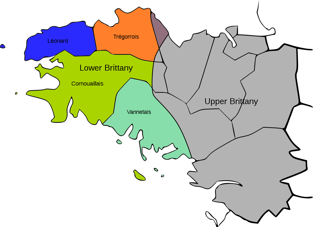
- Celtic Fringe: Western edges of British Isles and Brittany
The most studied language border in Europe runs through Belgium, separating Dutch-speaking Flanders from French-speaking Wallonia. This line, virtually unchanged for 1,000 years, roughly follows the extent of Frankish settlement in the early medieval period. Belgium's linguistic division has profound political consequences, with separate parliaments, education systems, and cultural institutions.
Switzerland demonstrates how mountain valleys create language borders. The Röstigraben (literally "rösti trench") separates German-speaking from French-speaking Switzerland along a line that follows the Saane/Sarine River. Italian and Romansh are spoken in southern and southeastern valleys respectively, each variety protected by cantonal boundaries.
Asia's Linguistic Frontiers
- Hindi-Dravidian Border: Across central India (~22° N latitude)
- Sinitic-Tibeto-Burman: Along China's southwestern mountains
- Turkic-Persian-Arabic: Across the Middle East and Central Asia
- Sino-Japanese Sea: Separating unrelated language families
India's most significant language border separates the Indo-European (Indo-Aryan) languages of the north from the Dravidian languages of the south. This border runs roughly across central India, through states like Maharashtra and Odisha. Hindi, Bengali, and Marathi belong to one family; Tamil, Telugu, and Kannada to another entirely.
In China, the transition from Sinitic (Chinese) languages to Tibeto-Burman languages follows the mountainous terrain of the southwest. As you move from the lowland rice paddies of Sichuan into the highlands of Yunnan and Tibet, the linguistic landscape shifts dramatically.
Africa's Language Transition Zones
- Sahel Belt: Niger-Congo to Afro-Asiatic transition
- Bantu Line: Southern edge of Bantu expansion
- South Africa: Bantu, Khoisan, Afrikaans, English zones
- Cameroon: Meeting point of 3 African language families
The Sahel — the semi-arid transition zone between the Sahara and the tropical forests — is also a linguistic transition zone. North of the Sahel, Afro-Asiatic languages (Arabic, Berber, Hausa) dominate. South of it, Niger-Congo languages (Yoruba, Igbo, Bambara) prevail. The Sahel itself is a zone of remarkable multilingualism.
Southern Africa preserves one of the world's oldest language borders: between Bantu languages (Zulu, Xhosa, Swazi), which arrived through the Bantu expansion, and the Khoisan languages (with their distinctive click consonants), which predate the Bantu arrival by tens of thousands of years.
Rivers, Mountains & Borders
- Rhine: Germanic-Romance border in parts
- Pyrenees: French-Spanish, though Basque straddles both
- Himalayas: Indo-European to Sino-Tibetan transition
- Amazon Tributaries: Often mark language boundaries between indigenous groups
Rivers and mountains are the classic geographic features that create and maintain language borders. The Rhine has served as a linguistic boundary between Germanic and Romance languages for portions of its length. The Pyrenees separate French from Spanish — but the Basque language, predating both, spans the border in between.
The Himalayas form one of the world's most dramatic language borders, separating the Indo-European languages of the Indian subcontinent from the Sino-Tibetan languages of the Tibetan Plateau. In some Himalayan valleys, you can climb a single mountain pass and emerge into a completely different linguistic world.
Shifting Borders & Modern Changes
- Urbanization: Cities create new multilingual contact zones
- Migration: Immigration reshaping language maps globally
- Language Death: Border retreat as smaller languages disappear
- Technology: Internet creating virtual language communities beyond borders
Language borders are not static — they shift over time. The German-Slavic language border has moved eastward and westward repeatedly over centuries, driven by migration, conquest, and population transfers. The Celtic language border in Britain has retreated westward for over 1,500 years as English expanded.
Modern urbanization and migration are creating new kinds of language borders. Cities like London, New York, and Singapore are multilingual patchworks where dozens of languages coexist in close proximity. At the same time, the internet is creating virtual language communities that transcend geographic borders entirely.
Key Facts
- Belgium's Dutch-French language border has remained essentially unchanged for 1,000 years.
- India's Indo-Aryan/Dravidian language border separates two entirely unrelated language families.
- Rivers and mountains are the most common geographic features creating language borders.
- The Sahel serves as a linguistic transition zone between Afro-Asiatic and Niger-Congo languages.
- Language borders shift over time due to migration, conquest, and cultural change.
Fun Facts
- In the Belgian town of Voeren/Fourons, the language border runs through the middle of the municipality, causing endless political controversy.
- The Basque language spans the French-Spanish border in the Pyrenees and is unrelated to any other language on Earth.
- On the island of New Guinea, neighboring villages sometimes speak completely unrelated languages despite being only a few kilometers apart.
- The Romance-Germanic language border in Switzerland is informally called the "Röstigraben" (rösti trench) after a potato dish popular on the German side.
Final Thoughts
Language borders are invisible lines of enormous significance — they mark where one world of meaning ends and another begins. Shaped by mountains, rivers, migrations, and conquests over centuries and millennia, they reveal the deep geographic forces that have carved human language into its extraordinary diversity. Understanding these borders helps us see the world not just as a political map but as a linguistic one.
Test Your Knowledge!
Think you know your world languages? Try our interactive quiz!
Play Geography Games →