

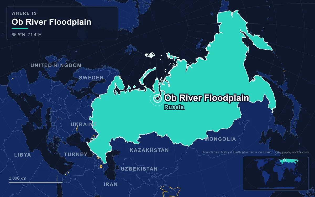
The Ob River floodplain is the broad belt of braided channels, floodplain lakes (called sors), wet meadows and willow and birch islands that lines the Ob River across the West Siberian Plain in Russia, with its best-known stretches in Khanty-Mansi and Yamalo-Nenets autonomous okrugs below the Ob’s confluence with the Irtysh. The Ramsar Convention’s site description calls it the largest floodplain in northern Eurasia. Three stretches were listed as Ramsar wetlands: Upper Dvuobye (about 4,700 km²), Lower Dvuobye (about 5,400 km²) and the Islands in the Ob River Estuary (about 1,280 km²), though Russia announced its withdrawal from the convention in July 2025. The Ob–Irtysh system is 5,410 km long, the seventh-longest in the world, and drains about 2.99 million km². The floodplain lives by a strict calendar: ice for six to more than seven months, then a spring flood that turns grassland into lake, a short summer, and a falling autumn river. The river’s flow at Salekhard, 150 km above its mouth, ranges from about 2,360 m³/s at its lowest to a recorded 40,200 m³/s.
November to April: the Ob under ice and short of oxygen
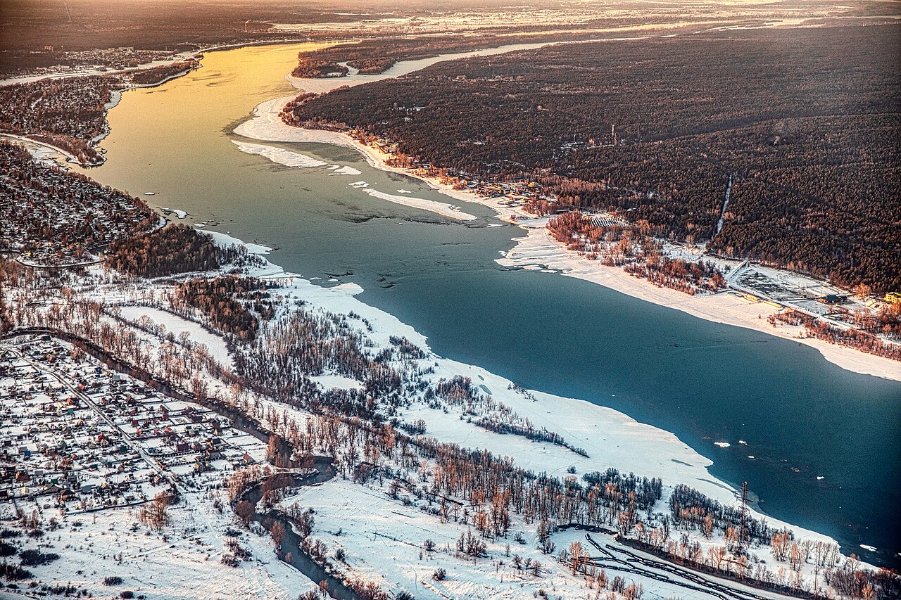
The Ob freezes from the north and thaws from the south, because it flows north. At Barnaul in the upper basin it is icebound from early November until near the end of April. At Salekhard, near the Arctic Circle, ice lasts from the end of October to the beginning of June, more than seven months. At Khanty-Mansiysk, on the Irtysh 15 km from its meeting with the Ob, the average temperature is −19.1 °C in January and −16.7 °C in February, and the record low is −49 °C.
Under the ice the river is at its lowest, close to that minimum of about 2,360 m³/s at Salekhard, and the floodplain lakes are cut off from the main channel. Winter is also when the water runs short of oxygen. Siberian sturgeon, of which the Ob population makes up about 80 per cent of the species, respond by moving down to the mouth of the river in winter to escape the seasonal oxygen deficiency. Pollution makes it worse: the lower Ob sits in the West Siberian oil and gas basin, petroleum products in its lower reaches have been measured at 9 to 10 times the permitted maximum, and the oxygen content of the water is four times lower than normal.
For the Khanty, the Ob-Ugric people of this stretch of the river, winter traditionally meant settled life in permanent villages of huts built from earth and branches. In the 2021 census 31,467 people identified as Khanty, 19,568 of them in Khanty-Mansi Autonomous Okrug and 9,985 in Yamalo-Nenets. In summer the same settlements are reached by boat, on a navigable network in the Ob basin that totals about 15,000 km; the river was the main east–west transport route of the region until the Trans-Siberian Railway was completed.
May and June: the spring flood spreads across the Dvuobye
Ice goes out on the upper river weeks before the lower river, so meltwater from the Altai and the southern plain arrives while the north is still frozen. The West Siberian Plain gives it nowhere to go. More than half of the plain lies less than 100 m above sea level, and a 50 m rise in sea level would flood everything between the Arctic Ocean and the Ob–Irtysh confluence near Khanty-Mansiysk. When the flood comes, the river spreads sideways. The Ob’s average width is about 3 km, and in places it reaches about 19 km.
The flood fills the sors, the shallow seasonal lakes of the floodplain. On the Islands in the Ob River Estuary site, temporary water bodies cover about 40 per cent of the island surface. In the Dvuobye (“two Obs”), the stretch below the Irtysh where the Ob splits into more than one arm, the floodwater links meandering channels, permanent and seasonal lakes, forested islands and meadows into one system. The Lower Dvuobye Ramsar site is split into three sectors to cover the mouths of tributary rivers. Much of the water comes from the peatlands between the rivers. The Vasyugan Swamp, which covers most of the Vasyugan Plain between the Ob and the Irtysh, is one of the world’s largest single raised bogs at about 51,600 km², and it releases meltwater slowly into Ob tributaries such as the Vasyugan. The plain has flooded on a far bigger scale before: geologists think ice sheets in past glaciations dammed the Ob and Yenisei and turned their water south towards the Caspian, and many of the plain’s deposits were laid down in those dammed lakes.

The peak shows up in the discharge figures. Averaged over 1930 to 1984, the Ob at Salekhard carried about 12,475 m³/s, but its recorded maximum is 40,200 m³/s, more than 17 times its lowest flow. Each year the river delivers between about 400 and 415 km³ of water to the Gulf of Ob, which at about 1,000 km long is the world’s longest estuary. Spring is also when the Khanty traditionally left their winter villages for hunting and fishing grounds, living in rectangular shelters of birch bark and poles.
July and August: high summer on the islands and sors
Summer on the middle Ob is short and wet. July is the warmest month at Khanty-Mansiysk, averaging 18.2 °C, and temperatures have reached 34.7 °C. Rain peaks late: 72 mm in July and 84 mm in August, the wettest month of the year. By then the flood is receding, leaving shallow, warm lakes and fresh silt on the meadows.
This is the breeding season on the floodplain. The Upper Dvuobye Ramsar site counts between 500,000 and 3 million migrating birds a year and about 300,000 breeding birds. The Lower Dvuobye is a breeding and moulting ground for ducks and swans, and the estuary islands support breeding birds at densities of 500 to 2,000 per 10 km². The shallow water also feeds fish. The Ob has more than 50 fish species, and the Ramsar descriptions single out the estuary islands as one of the world’s richest habitats for whitefish and the Lower Dvuobye as a feeding ground for sturgeon and whitefish.
In the far south the same months grow different crops. The upper Ob valley around Biysk, Barnaul and Novosibirsk has the most temperate climate on the river and supports grapes, melons and watermelons, while the lower reaches near the Gulf of Ob are Arctic tundra. Between the two, the plain passes through eight vegetation zones, from steppe and forest-steppe through southern, middle and northern taiga to forest-tundra and tundra, and the Khanty along the middle river traditionally combined fishing, taiga hunting, trapping and reindeer herding to match them.
September and October: falling water and the run upstream
As the water drops, the floodplain lakes shrink and fish that fed on the flooded meadows head back to the channels. Autumn rain still falls, 56 mm in September and 47 mm in October at Khanty-Mansiysk, but the mean temperature falls from 8.2 °C in September to 0.7 °C in October, and by the end of October Salekhard is icing over again.
Some of the floodplain’s fish make long journeys around these seasons. Siberian sturgeon from the Ob swim thousands of kilometres upstream to spawn in fast main-river channels over stone or gravel, and they are slow to recover from losses: they live up to 60 years, and females do not breed until they are 20 to 28 years old. Up to 40 per cent of the species’ spawning habitat has been cut off by dams. Nelma, a large whitefish of the Arctic rivers, may travel more than 1,600 km to their upriver spawning grounds. Russian traders followed similar routes: Novgorod had two trade routes to the Ob by the 11th century, Surgut was founded on the middle Ob in the late 16th century, and steamboats have run on the middle river since 1845.
Samotlor, the Novosibirsk dam and a calendar that still holds
People have altered the river without stopping its flood. The dam at Novosibirsk, completed in 1956, created the Novosibirsk Reservoir, or Ob Sea, about 200 km long and 1,070 km² in area, and it now holds back part of the upper river’s spring water for a 460 MW power station. Farther north, the oil boom reshaped the floodplain towns. Samotlor, Russia’s largest oil field, was found in 1965 at Lake Samotlor near Nizhnevartovsk, produced its first oil in 1969 and peaked in 1980 at 158.9 million tonnes; more than 17,000 wells have been drilled there. Surgut, Nizhnevartovsk and Nefteyugansk all now outgrow Khanty-Mansiysk, the okrug capital, which had 107,473 people at the 2021 census.
A bigger change was planned and dropped. From the 1960s to the 1980s Soviet planners studied diverting part of the Ob and Irtysh south to Kazakhstan and Central Asia, partly to refill the Aral Sea; the project was abandoned in 1986 on economic and environmental grounds. That decision is why the floodplain still floods. Its protection is now uncertain, with Russia announcing in July 2025 that it would leave the Ramsar Convention that listed the Dvuobye sites. For the river from source to sea, see our complete guide to the Ob, compare it with the other Arctic giants in Asia’s longest rivers, or follow the same cycle of ice and flood farther east in the Lena Delta.