
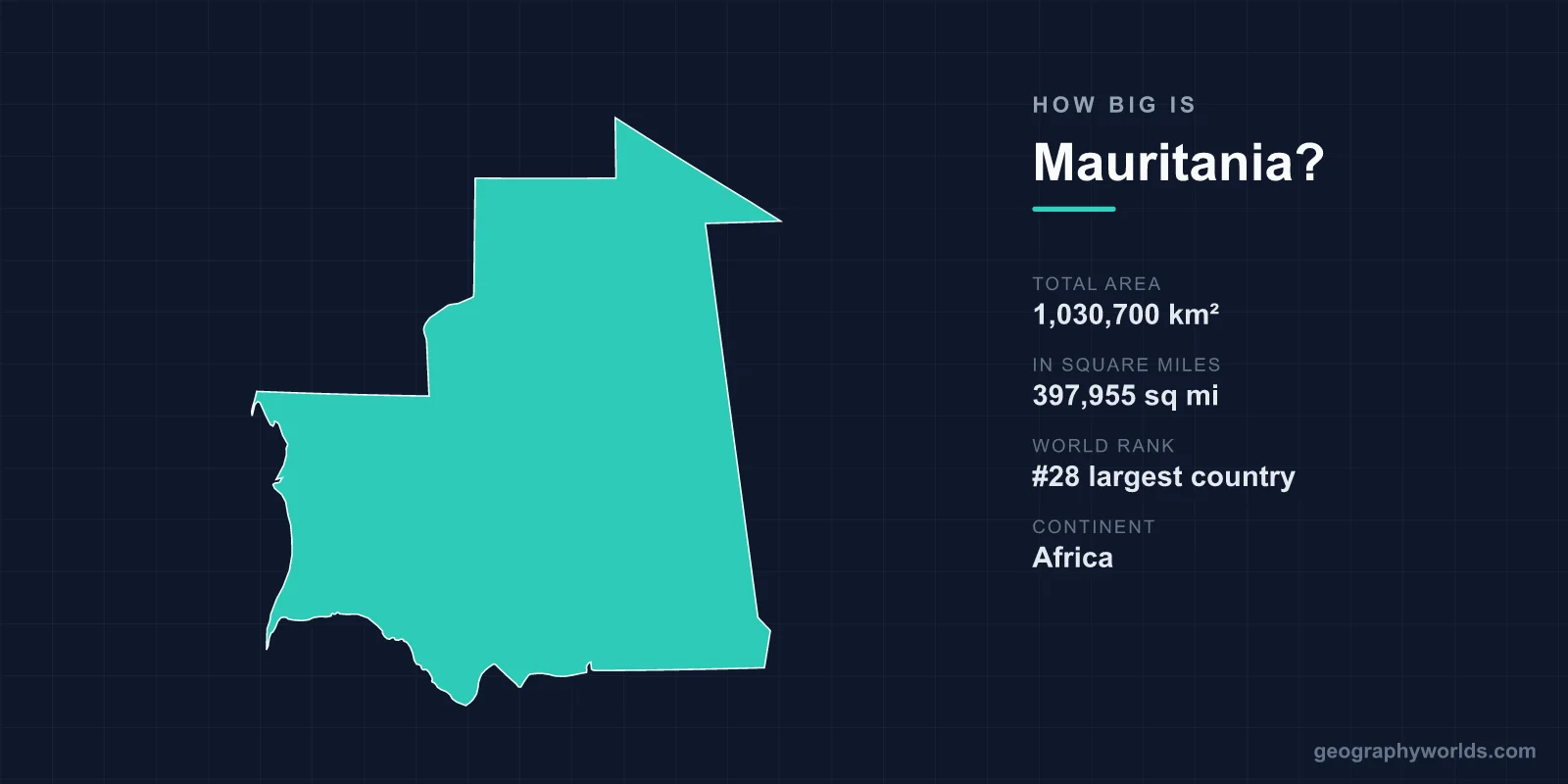
Mauritania covers a total area of 1,030,700 km² (397,955 sq mi), making it the 28th largest country in the world — roughly four times the size of the United Kingdom. This vast West African nation sits where the Sahara Desert meets the Atlantic Ocean, and the overwhelming majority of its territory is sand, rock and arid plateau rather than cities or farmland.
Mauritania's Size in Numbers
At 1,030,700 km², Mauritania accounts for about 0.69% of the Earth's total land area of roughly 148.94 million km². That places it firmly among the world's giants by land mass, even though its population is small relative to its footprint. Here are the headline figures:
- Total area: 1,030,700 km² (397,955 sq mi)
- World rank: 28th largest country
- Continent: Africa (West Africa / the Sahel)
- Capital: Nouakchott, on the Atlantic coast
- Coastline: 754 km along the Atlantic Ocean
- Share of world land area: approximately 0.69%
Because so much of this enormous space is uninhabitable desert, Mauritania is also one of the most sparsely populated countries on Earth, with people concentrated in the capital, the southern Senegal River valley and a handful of mining and oasis towns.
How Far Does Mauritania Stretch?
Mauritania extends roughly 1,300 km from north to south and about 1,100 km from east to west, giving it a broad, blocky shape across the western edge of the Sahara. To cross it by road or rail is a journey of many hours through largely featureless desert.
The land is overwhelmingly flat. Most of the country is low desert plain, broken by the Adrar Plateau in the north-centre and the Tagant Plateau further south, which rise as rocky tablelands above the surrounding sands. The highest point, Kediet ej Jill near the iron-ore town of Zouérat, reaches just 915 m (3,002 ft) — modest by global standards, and a reminder that Mauritania's character comes from its expanse rather than its elevation. The only consistently green strip is the Senegal River valley along the southern border, where the country's limited arable land and most of its agriculture are found.
How Mauritania Compares to Other Countries
Size becomes easier to picture through comparison. Mauritania is almost four times the size of the United Kingdom (243,610 km²) — you could fit the UK inside it roughly four times over. It is also about 1.6 times larger than France (640,679 km²), Europe's largest country.
- Larger than Egypt (about 1,001,450 km²), its near neighbour across the Sahara.
- Roughly the combined size of Spain and France together.
- Comparable in area to the US states of Texas and California combined.
- Far bigger than most West African nations, yet with a fraction of their population density.
For more context on the country's geography, people and culture, see our mauritania country guide.
A Land Dominated by the Sahara
Over 75% of Mauritania is desert or semi-desert. The climate is hot and arid across most of the territory, with true Saharan conditions in the north and centre, while the south near the Senegal River shades into the semi-arid Sahel. Nouakchott, built on flat sandy ground beside the Atlantic, is one of the largest cities in the Sahara and faces constant pressure from advancing sand dunes.
Despite the harsh terrain, the landscape holds remarkable features. The Richat Structure — the famous "Eye of the Sahara" — is a circular geological formation about 40 km across, so large it is clearly visible from orbit and was once mistaken for a meteorite impact crater (it is actually an eroded geological dome). On the coast, Banc d'Arguin National Park, a UNESCO World Heritage Site, is one of the world's most important breeding grounds for migratory birds, where desert meets ocean and millions of birds gather.
Why Mauritania's Size Matters
Mauritania's scale shapes its economy and history. Ancient trans-Saharan trade routes crossed this territory for centuries, linking sub-Saharan Africa with North Africa and carrying gold, salt and goods through caravan towns such as Chinguetti and Ouadane. Today the country's vast deserts hold rich iron-ore deposits, and Mauritania operates one of the longest trains in the world — an iron-ore train that can stretch up to 2.5 km as it hauls ore from the interior mines to the port of Nouadhibou. Its long Atlantic coastline also makes it home to some of the richest fishing waters in the region.
Frequently Asked Questions
Is Mauritania bigger than the UK?
Yes. Mauritania (1,030,700 km²) is almost four times the size of the United Kingdom (243,610 km²). You could fit the UK inside Mauritania roughly four times over.
What is the highest point in Mauritania?
The highest point is Kediet ej Jill at 915 m (3,002 ft) above sea level, located in the iron-ore mining region in the north of the country. Most of Mauritania is flat desert plain.
How much of Mauritania is desert?
Over 75% of Mauritania is desert or semi-desert, forming part of the western Sahara. The only significant green and arable region is the Senegal River valley along the southern border.
What is Mauritania's coastline like?
Mauritania has 754 km of Atlantic coastline. It includes the capital Nouakchott and the protected Banc d'Arguin National Park, a UNESCO site and a vital sanctuary for migratory birds.
