
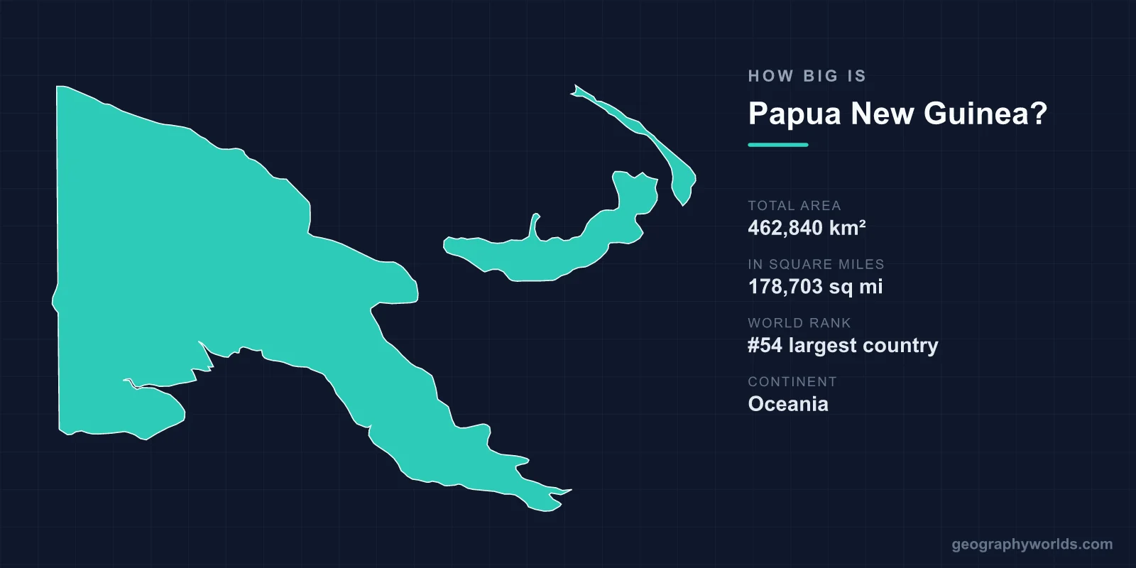
Papua New Guinea covers a total area of 462,840 km² (178,703 square miles), making it the 54th largest country in the world — roughly the same size as the U.S. state of California. That land area accounts for about 0.31% of Earth's total surface and stretches across the eastern half of the island of New Guinea plus a scattering of more than 600 surrounding islands in the southwestern Pacific.
Papua New Guinea's Size at a Glance
At 462,840 km², Papua New Guinea is a mid-sized nation that punches well above its weight in geographic drama. The country occupies the eastern portion of New Guinea — the world's second-largest island — while Indonesia controls the western half. To frame the number in everyday terms:
- Total area: 462,840 km² (178,703 sq mi)
- World rank: 54th largest country
- Continent: Oceania
- Capital: Port Moresby
- Share of global land: approximately 0.31%
Despite its modest ranking, Papua New Guinea is the largest and most populous nation in the Pacific Islands region after Australia, and its territory contains some of the most isolated and rugged landscapes on the planet.
How Papua New Guinea Compares to Other Countries
Size comparisons make the figures far easier to picture. Papua New Guinea is almost exactly the size of California (about 423,970 km²), so if you can imagine the Golden State, you have a good mental model of PNG's footprint. A few more useful benchmarks:
- Compared to France (640,679 km²), Papua New Guinea is about 72% as large.
- Compared to Japan (377,975 km²), it is roughly 122% the size — noticeably bigger.
- It is about 1.9 times the size of the United Kingdom (242,495 km²).
- It is slightly smaller than Sweden and a little larger than Cameroon.
These comparisons show that while Papua New Guinea would be unremarkable on a map of Europe or North America, it is a giant within Oceania, where most neighbors are tiny island states measured in hundreds rather than hundreds of thousands of square kilometers.
Geographic Dimensions and Terrain
Papua New Guinea extends roughly 1,300 km from west to east and about 1,100 km from north to south on the mainland, and it boasts an exceptionally long coastline of around 5,152 km thanks to its many islands, peninsulas, and bays. The country's land area feels much larger than the raw number suggests because the terrain is so vertical and fragmented.
A central spine of mountains runs the length of the mainland, with peaks rising above 4,000 m. The highest point, Mount Wilhelm, reaches 4,509 m (14,793 ft). Flanking the highlands are lowland swamps, the broad floodplain of the Sepik River, dense tropical rainforest, active volcanoes, and fringing coral reefs. More than 70% of the country is covered in forest, and roughly 600 islands — including the Bismarck Archipelago and Bougainville — surround the mainland.
This rugged geography has practical consequences. Many highland valleys remained unknown to the outside world until the 1930s, and even today numerous communities are reachable only by footpath or small aircraft, which is one reason the country's measured area encloses such cultural and ecological variety.
Why Size Tells Only Part of the Story
Papua New Guinea's 462,840 km² hold an extraordinary density of human and natural diversity. The country is the most linguistically varied place on Earth, with more than 840 living languages — about one language for every 7,000 people. Its forests shelter the spectacular Birds of Paradise, found almost exclusively here and on nearby islands, along with thousands of species still being catalogued.
The land also sits squarely on the Pacific Ring of Fire, so active volcanoes such as Tavurvur and Manam regularly reshape the terrain; the 1994 Rabaul eruption buried much of that town under ash. For travelers and history buffs, the famous Kokoda Track — a demanding mountain trail from a key World War II campaign — runs through the rugged interior. For a fuller picture of the nation beyond its dimensions, see our papua new guinea country guide.
Frequently Asked Questions
Is Papua New Guinea bigger than the UK?
Yes. At 462,840 km², Papua New Guinea is roughly 1.9 times the size of the United Kingdom, which covers about 242,495 km².
What U.S. state is Papua New Guinea the size of?
Papua New Guinea is almost exactly the same size as California (about 423,970 km²), making the Golden State the easiest American comparison for visualizing the country's area.
How big is Papua New Guinea compared to the whole island of New Guinea?
Papua New Guinea occupies the eastern half of New Guinea, the world's second-largest island. The western half is the Indonesian region of Western New Guinea, so PNG controls a little under half of the island's total landmass plus hundreds of separate offshore islands.
What is the highest point in Papua New Guinea?
The highest point is Mount Wilhelm, which rises to 4,509 m (14,793 ft) in the central highlands — tall enough to occasionally see frost near its summit despite the country's tropical latitude.