
Introduction
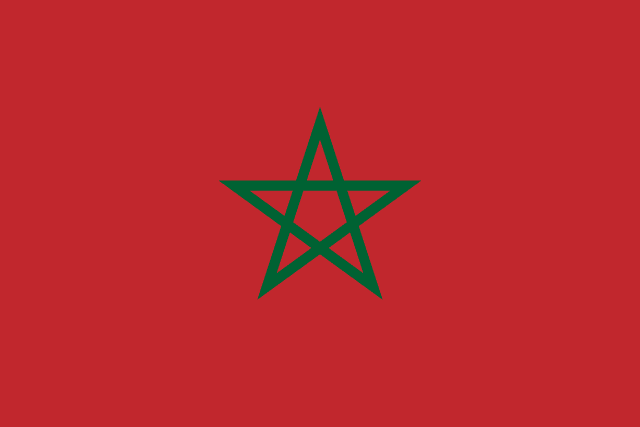
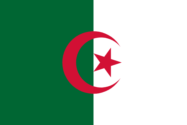
Morocco 🇲🇦 and Algeria 🇩🇿 share one of the longest borders in North Africa, yet the two countries feel strikingly different the moment you look past the map. One is compact, mountainous and turned toward the Atlantic and Mediterranean; the other is vast, overwhelmingly Saharan, and built on hydrocarbons. This comparison walks through how they differ in size, population, capitals, language and natural features.
Whether you are studying for a geography class, planning a trip across the Maghreb, or just curious how these neighbors stack up, the side-by-side figures below give you the essentials at a glance.
Size & Geography
| Feature | Morocco 🇲🇦 | Algeria 🇩🇿 |
|---|---|---|
| Area | 446,550 km² | 2,381,741 km² |
| Continent | Africa | Africa |
| Region | North Africa | North Africa |
| Land Borders | Algeria, Western Sahara, Spain (Ceuta & Melilla) | Morocco, Tunisia, Libya, Niger, Mali, Mauritania, Western Sahara |
| Landscape | Atlas Mountains, Sahara Desert, Atlantic and Mediterranean coasts | mostly Sahara Desert in the south, Tell Atlas in the north |
The size gap is the headline difference here. At 2,381,741 km², Algeria covers roughly 5.3 times the ground that Morocco does, and most of that expanse is open Sahara stretching south toward the Sahel. Morocco's 446,550 km² are packed with more variety per kilometer: the Atlas Mountains rise behind a long Atlantic shoreline, with a Mediterranean coast to the north. Algeria's settled life, by contrast, clings to the Tell Atlas and the coastal strip, while the desert dominates the interior. Notably, Algeria touches seven neighbors, a reflection of how far its territory reaches into the continent.
Population & Demographics
| Metric | Morocco 🇲🇦 | Algeria 🇩🇿 |
|---|---|---|
| Population | 38.8 million | 48.0 million |
| Population Density | 86.8 per km² | 20.2 per km² |
Algeria edges ahead on headcount with 48.0 million people to Morocco's 38.8 million, about 1.2 times as many. But the density figures tell the more revealing story. Morocco packs 86.8 people into every square kilometer, while Algeria averages just 20.2 — a gap of roughly 66.6 people per km². The reason is simple: nearly all Algerians live on the narrow northern band of habitable land, because the Saharan south is almost empty.
Capital Cities
Morocco governs from Rabat, a coastal administrative capital on the Atlantic, while Algeria's seat of power is Algiers, perched on the Mediterranean. Both sit in the North Africa region, and in each case the capital hugs the coast rather than the interior — a pattern that holds across the Maghreb, where the habitable belt runs along the sea.
Language, Currency & Culture
| Aspect | Morocco 🇲🇦 | Algeria 🇩🇿 |
|---|---|---|
| Languages | Arabic and Berber (both official), French widely used | Arabic (official), Berber (national), French widely used |
| Currency | Moroccan Dirham (MAD) | Algerian Dinar (DZD) |
The linguistic picture is closely related but not identical. Morocco recognizes both Arabic and Berber as official languages, whereas Algeria makes Arabic official and gives Berber national status; in both countries French remains widely used, a legacy of the colonial era. On money, each keeps its own currency — the Moroccan Dirham (MAD) and the Algerian Dinar (DZD) — reflecting two distinct national economies despite their shared border and intertwined history.
Climate & Natural Features
| Aspect | Morocco 🇲🇦 | Algeria 🇩🇿 |
|---|---|---|
| Climate | Mediterranean in the north, arid in the south | arid to semi-arid; mild, wet winters along coast |
| Key Features | Atlas Mountains, Sahara Desert, Rif Mountains | Sahara Desert, Atlas Mountains, Mediterranean coast |
| Economy | agriculture, phosphates, tourism, textiles | oil and gas, agriculture, mining |
Both countries follow the familiar Maghreb pattern of a temperate, Mediterranean-influenced north giving way to desert in the south. Morocco's climate runs Mediterranean in the north and arid further south, with the Atlas and Rif ranges shaping its weather and the Sahara at its edge. Algeria is more uniformly arid to semi-arid, with mild, wet winters confined to the coast. The economies diverge sharply: Morocco leans on a diversified mix of agriculture, phosphates, tourism and textiles, while Algeria's revenue rests heavily on oil and gas, supplemented by agriculture and mining.
What Makes Each Country Unique
Morocco is known worldwide for the labyrinthine souks and medinas of cities like Marrakesh and Fez, for the dunes of its Saharan south, and for a cuisine built around tagine and couscous. Fez is also home to the University of al-Qarawiyyin, founded in 859 AD and recognized as the oldest existing, continually operating university in the world.
Algeria wears the title of the largest country in Africa by area — roughly 80% of its territory is Sahara. Beyond the dunes, it is celebrated for its Saharan landscapes and for exceptionally well-preserved Roman ruins at Timgad and Djémila, reminders of North Africa's role in the ancient Mediterranean world.
Key Differences at a Glance
- Area: Morocco (446,550 km²) vs Algeria (2,381,741 km²) — Algeria is 5.3x larger
- Population: Morocco (38.8 million) vs Algeria (48.0 million) — Algeria is 1.2x more populous
- Capitals: Rabat vs Algiers
- Currency: Moroccan Dirham (MAD) vs Algerian Dinar (DZD)
- Continents: Africa vs Africa
- Density: Morocco is more densely populated (difference of ~66.6 people per km²)
- Languages: Arabic and Berber (both official) vs Arabic (official)
Verdict
Morocco and Algeria are neighbors that have grown distinct identities out of a shared geography. Algeria wins on sheer scale, with 5.3 times the land area, and it also holds a modest population lead of about 1.2 times — but Morocco fits far more people into each square kilometer, a neat illustration of how habitable land, not total territory, drives where people actually live.
In character, Morocco is defined by its Mediterranean-to-arid climate and mountain-and-coast geography, anchored by the Atlas range, while Algeria is the desert giant, its arid interior framed by a narrow, wetter coast and its economy fueled by oil and gas rather than Morocco's broader mix of farming, phosphates and tourism.
Set side by side, the two add depth to any picture of North Africa. Whether you are mapping a journey, revising for an exam, or simply feeding your curiosity, seeing how they differ makes the region easier to understand.
Test Your Knowledge!
Think you know your countries? Try our interactive geography quiz!
Play Geography Games →