
Introduction
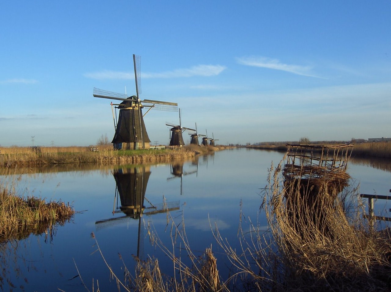
Netherlands is a Western Europe nation covering 41,543 km², with a population of ~17.9 million. Its capital is Amsterdam (government seat: The Hague), and the country's geography is remarkably diverse. Extremely low-lying delta country formed by the Rhine, Meuse, and Scheldt rivers, with extensive polders reclaimed from the sea, coastal dunes, and flat agricultural plains Among the most iconic geographic features are Rhine-Meuse-Scheldt Delta, IJsselmeer, Wadden Sea, Afsluitdijk, and Veluwe. The geography of Netherlands has profoundly shaped its history, culture, economy, and the daily lives of its people.

Physical Geography
The physical landscape of Netherlands is defined by its diverse terrain. Extremely low-lying delta country formed by the Rhine, Meuse, and Scheldt rivers, with extensive polders reclaimed from the sea, coastal dunes, and flat agricultural plains The country's mountain systems include Virtually no mountains; Vaalserberg (322.4 m) in the extreme southeast corner where Netherlands meets Belgium and Germany is the highest point on the European mainland; most of the country is below 50 m elevation. Major river systems include Rhine (entering as Nederrijn/Waal/Lek branches), Meuse (Maas, 925 km total), Scheldt (Schelde), IJssel; these rivers form one of Europe's largest deltas. These physical features create distinct geographic regions across the country, each with unique characteristics that influence land use, agriculture, and settlement patterns.
Climate & Weather
Netherlands experiences varied climate conditions across its territory. Maritime temperate with cool summers (17°C average) and mild winters (3°C average), frequent rainfall distributed throughout the year (800 mm annually), strong North Sea winds, frequent cloud cover These diverse climate patterns support different agricultural systems and ecosystems across the country, and play a critical role in shaping the landscape and influencing the daily lives of Dutch people throughout the year.
Natural Resources & Environment
Netherlands possesses significant natural resources and diverse ecosystems. Natural gas (Groningen field, one of world's largest), fertile agricultural soils, significant wind energy potential, extensive fisheries, peat deposits The country's ecosystems include Wadden Sea tidal flats (UNESCO World Heritage), coastal dune habitats, freshwater wetlands and polders, heathlands of the Veluwe, migratory bird flyway stopover, North Sea marine ecosystems Environmental conservation remains an important priority as Netherlands works to balance economic development with the protection of its natural heritage and biodiversity.
Human Geography
Netherlands's population of ~17.9 million is centered around major urban areas including Amsterdam (870K city, 2.5M metro), Rotterdam (650K), The Hague (550K), Utrecht (360K), Eindhoven (240K). The capital, Amsterdam (government seat: The Hague), serves as the political and administrative center. Population distribution reflects the influence of geographic factors including climate, water availability, fertile land, and transportation networks. Urbanization continues to reshape the country's demographic landscape.
Key Geographic Facts
- About 26% of the Netherlands lies below sea level and 59% is susceptible to flooding
- The Afsluitdijk is a 32 km dam that closed off the Zuiderzee from the North Sea in 1932, creating the IJsselmeer freshwater lake
- The Delta Works flood protection system is considered one of the Seven Wonders of the Modern World
- The Wadden Sea is the world's largest unbroken system of intertidal sand and mud flats, stretching 500 km along the coast
- The Netherlands has over 6,500 km of navigable waterways, one of the densest networks in the world
Fun Facts
- The Dutch have reclaimed nearly 7,000 km² of land from the sea over centuries through an elaborate system of dikes, pumps, and polders
- Flevoland, the country's newest province, was entirely reclaimed from the IJsselmeer and did not exist before 1942
- The Netherlands is the world's second-largest agricultural exporter by value despite being one of Europe's smallest countries
- There are more bicycles than people in the Netherlands — about 23 million bikes for 17.9 million people
- Without its water management systems, about two-thirds of the Netherlands would be underwater at high tide
