
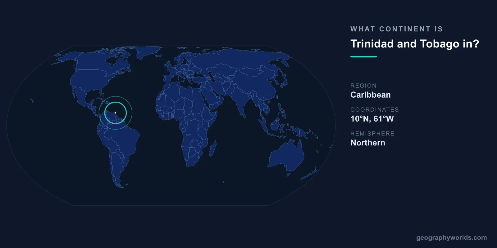
Trinidad and Tobago is located in North America, where it is classified as part of the Caribbean region. Although the twin-island nation sits only about 11 kilometers off the coast of Venezuela in South America, standard geographic and political conventions place it firmly within North America, alongside the rest of the West Indies.
This makes Trinidad and Tobago one of the most surprising entries in continental geography. From the southwestern tip of Trinidad, you can see the South American mainland on a clear day, yet the country is grouped with North America rather than the continent it nearly touches.
Why North America and Not South America?
The confusion is understandable. Trinidad lies at the very southern end of the Caribbean island arc, separated from Venezuela only by the narrow Gulf of Paria. Despite this closeness, continental classification follows established geographic and political models rather than raw distance.
Under the most widely used system, all Caribbean islands are considered part of North America. The United Nations geoscheme places Trinidad and Tobago in the Caribbean subregion, which itself falls under the Americas and, in continental terms, North America. The country is also a founding member of CARICOM (the Caribbean Community) and is culturally tied to the English-speaking West Indies rather than to its Spanish-speaking South American neighbor.
So while geology and proximity point south, geography textbooks, atlases, and international bodies consistently file Trinidad and Tobago under North America.
Where Exactly Is Trinidad and Tobago?
The nation consists of two main islands plus several smaller ones, covering a total land area of about 5,131 square kilometers. Its key location facts include:
- Continent: North America
- Region: Southern Caribbean / West Indies
- Capital: Port of Spain (on Trinidad)
- Nearest mainland: Venezuela, about 11 km south
- Coastline: roughly 362 km
Trinidad, the larger island, sits closest to the South American coast. Tobago lies about 30 km to the northeast and is smaller, greener, and more typically Caribbean in feel. Both islands rest on the Caribbean Plate, and the country marks the southernmost point of the Caribbean island chain. Grenada lies to the north and Barbados to the northeast, making Trinidad and Tobago the gateway between the Lesser Antilles and South America. You can learn more in our trinidad and tobago country guide.
A Land Shaped by South America
Even though Trinidad and Tobago belongs to North America by classification, its physical landscape tells a different story. During the last Ice Age, when sea levels were far lower, Trinidad was physically connected to the South American mainland. This land bridge explains why the island shares so much with Venezuela today.
The Northern Range, the mountain chain running across northern Trinidad, is geologically an extension of the Venezuelan coastal range and ultimately the Andes. The country's highest point, El Cerro del Aripo, rises to about 940 meters in this range. Because of this ancient connection, Trinidad's plant and animal life is far more South American than Caribbean. It hosts mainland species such as howler monkeys, ocelots, and an unusually rich variety of birds, rather than the limited island ecosystems typical of smaller Caribbean islands.
Tobago, by contrast, feels more like a classic Caribbean island, with coral reefs, rainforest, and white-sand beaches that attract divers and beachgoers.
What Makes the Twin Islands Distinct
Trinidad and Tobago has a tropical climate, with warm temperatures year-round and a wet season that runs roughly from June to December. The two islands play very different roles within the nation:
- Trinidad: the larger, more populous, and industrialized island, home to significant oil and natural gas reserves that anchor the economy. It also hosts the world-famous Trinidad Carnival.
- Tobago: smaller and more rural, focused on tourism, nature, and some of the oldest protected rainforest in the Western Hemisphere.
The country is also the birthplace of the steel pan, often described as one of the few entirely new acoustic instruments invented in the 20th century, and home to Pitch Lake, the largest natural asphalt deposit on Earth.
Frequently Asked Questions
Is Trinidad and Tobago part of South America?
No. Despite sitting just 11 km from Venezuela and sharing geological and ecological features with the mainland, Trinidad and Tobago is classified as part of North America, within the Caribbean region.
What continent is Trinidad in geographically?
Trinidad, the larger island, is grouped with North America like the rest of the Caribbean. However, its geology, wildlife, and former Ice Age land connection link it closely to the South American continent.
Is Trinidad and Tobago considered Caribbean or Latin American?
It is considered Caribbean. As an English-speaking, CARICOM member nation in the West Indies, it is culturally part of the Caribbean rather than Latin America, even though it borders the Spanish-speaking world.
How far is Trinidad from Venezuela?
At its closest point, Trinidad lies only about 11 kilometers from the Venezuelan coast, separated by the Gulf of Paria. This is why South America is visible from parts of the island.
