
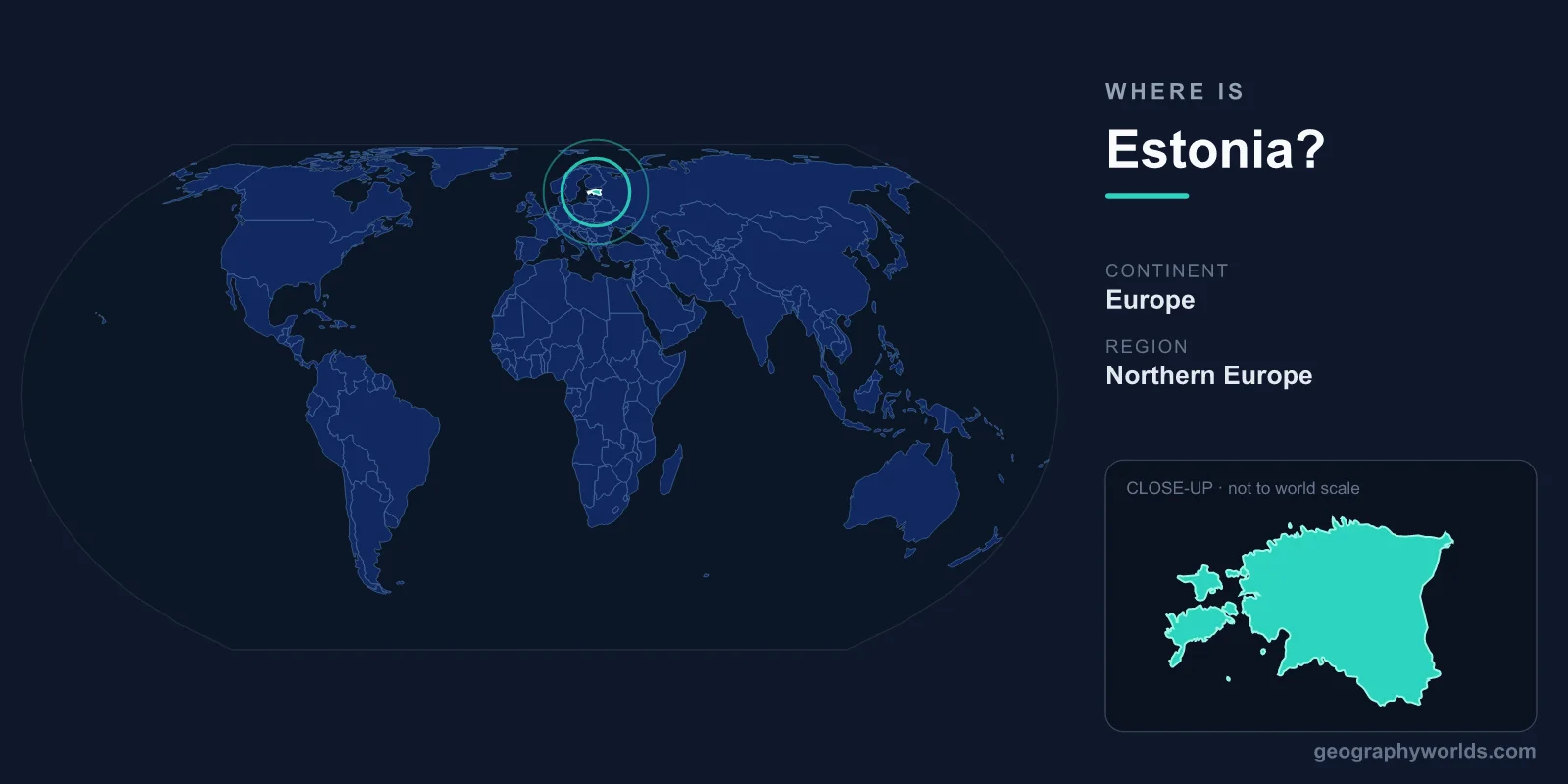
Estonia is located in northeastern Europe, on the eastern shore of the Baltic Sea, where it sits as the northernmost of the three Baltic states. It lies directly across the Gulf of Finland from Helsinki, shares its southern border with Latvia, and meets Russia to the east. The country covers 45,227 km² and is governed from its capital and largest city, Tallinn.
Where Exactly Is Estonia on the Map?
Estonia occupies a compact stretch of the Baltic coast roughly between 57.5° and 59.7° north latitude and 21.8° and 28.2° east longitude. That places it firmly in both the Northern and Eastern Hemispheres, at a latitude comparable to southern Alaska, Oslo, and Stockholm. Because it lies so far north, Estonia experiences long, bright summer evenings and short, dark winter days.
Geographers classify Estonia as part of Northern Europe, though its history as a Baltic state and a former Soviet republic means it is sometimes grouped with Eastern Europe as well. Today it is a member of the European Union, the eurozone, NATO, and the Schengen Area, firmly anchoring it within Western and Nordic spheres of cooperation.
Which Countries Border Estonia?
Estonia shares land borders with just two countries, while the sea forms much of its remaining frontier:
- Latvia – to the south, a fellow Baltic state and EU partner with which Estonia shares close cultural and economic ties.
- Russia – to the east, where the border runs largely along the Narva River and through Lake Peipus, one of the largest lakes in Europe.
To the north lies the Gulf of Finland, separating Estonia from Finland by only about 80 km of water. To the west, across the Baltic Sea, lies Sweden. This maritime position has made Estonia a crossroads of Nordic, Germanic, Slavic, and Finnic influences for centuries.
The Estonian Landscape and Coastline
For such a small country, Estonia has a remarkably long and intricate coastline stretching well over 3,000 km when its many bays and inlets are counted. Offshore lie more than 2,000 islands and islets, the largest being Saaremaa and Hiiumaa, which give the country a distinctly maritime character.
The terrain itself is mostly low and flat, a legacy of the glaciers that once covered the region. The highest point, Suur Munamägi, reaches only about 318 metres, making it the tallest hill in all of the Baltic states. Forests blanket roughly half of the country, and Estonia is dotted with lakes, peat bogs, and wetlands. Lake Peipus, shared with Russia, dominates the eastern frontier, while Lake Võrtsjärv is the largest lake lying entirely within Estonia.
Tallinn and the Country's Layout
Tallinn, on the northern coast facing the Gulf of Finland, is Estonia's political, economic, and cultural heart. Its UNESCO-listed medieval Old Town is one of the best-preserved in Northern Europe, with cobbled lanes, defensive towers, and merchant houses dating to the Hanseatic era. Roughly a third of the country's 1.3 million people live in or around the capital.
Other significant centres include Tartu, the inland university city in the south, and Narva, the easternmost city sitting right on the Russian border. Estonians speak Estonian, a Finno-Ugric language closely related to Finnish and unrelated to the Slavic or Germanic tongues of most neighbours. The country uses the Euro and is renowned worldwide as a pioneer of digital government and e-services. For more on the nation, see our estonia country guide.
Frequently Asked Questions
Is Estonia in Europe?
Yes. Estonia is firmly part of Europe, located in the northeastern corner of the continent along the Baltic Sea. It is the northernmost of the three Baltic states and has been a member of the European Union since 2004.
Is Estonia part of Russia or Scandinavia?
Neither, though it has links to both. Estonia is an independent country that regained its sovereignty in 1991 after the collapse of the Soviet Union. It is not part of Scandinavia, but its strong Nordic ties, geography, and culture lead many to consider it a Nordic-Baltic nation.
How far is Estonia from Finland?
Tallinn lies only about 80 km south of Helsinki across the Gulf of Finland. Frequent ferries connect the two capitals in roughly two hours, making it one of the busiest sea routes in the region.
What is the capital of Estonia?
The capital is Tallinn, a port city on the northern coast. It is the largest city in the country and famous for its remarkably well-preserved medieval Old Town.