
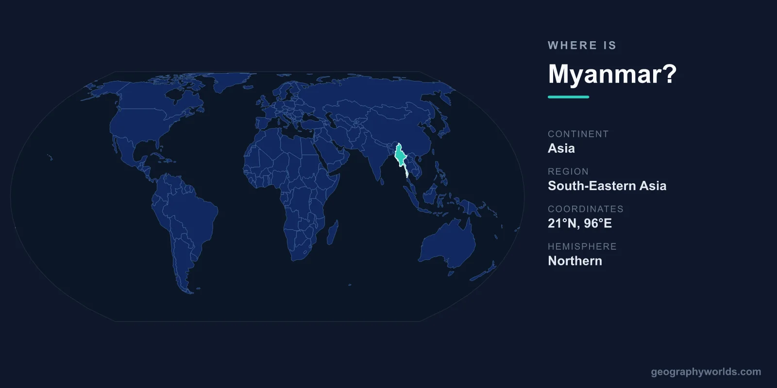
Myanmar is located in mainland Southeast Asia, on the western edge of the Indochinese Peninsula, where the Bay of Bengal and Andaman Sea form its long western and southern coastlines. Lying entirely within the Northern and Eastern Hemispheres, it stretches roughly from 9°N to 28°N latitude and from about 92°E to 101°E longitude. The country shares land borders with five nations, covers 676,578 km², and is governed from its purpose-built interior capital, Naypyidaw. On the continent of Asia, Myanmar sits at the meeting point of South Asia, China, and the Southeast Asian world.
Where Exactly Is Myanmar?
Myanmar occupies the northwestern corner of Southeast Asia, bridging the Indian subcontinent and the rest of the Indochinese Peninsula. It is the largest country in mainland Southeast Asia by land area, at 676,578 km² — comparable in size to France or the U.S. state of Texas. The country has an elongated, kite-like shape, with a broad northern body that tapers into a long, narrow southern tail running down the Malay Peninsula. From its mountainous northern tip to the southern Tanintharyi region, Myanmar measures nearly 2,000 km, one of the longest north–south spans of any country in the region.
This position has historically made Myanmar a land bridge between three great cultural spheres. India and Bangladesh lie to its west and northwest, China wraps around its northern and northeastern frontier, and Laos and Thailand border it to the east and southeast. Trade routes, migrations, and religions have all passed through its valleys for centuries. You can explore the full picture in our Myanmar country guide.
Bordering Countries and Coastlines
Myanmar shares land borders with five countries, giving it one of the longer combined frontiers in Southeast Asia — roughly 6,000 km of land boundary in total:
- China – to the north and northeast; the longest of Myanmar's borders, running through remote, mountainous terrain.
- India – to the northwest, along the rugged Patkai, Naga, and Chin hill ranges.
- Bangladesh – to the west, a relatively short but strategically important border near the coast and the Naf River.
- Laos – to the east, divided in part by the Mekong River.
- Thailand – to the east and southeast; the second-longest border, much of it following river valleys and ridgelines.
Beyond its land neighbours, Myanmar has a coastline stretching roughly 1,900 km along the Bay of Bengal and the Andaman Sea. This western and southern maritime edge gives the country direct access to shipping lanes linking the Indian Ocean with the Strait of Malacca, making its ports — including the deep-water terminals being developed at Kyaukpyu and the historic harbour at Yangon — strategically valuable to its larger neighbours.
The Landscape: Mountains, Rivers, and Plains
Myanmar's terrain is defined by a horseshoe of mountains enclosing a central lowland. To the north rise the eastern foothills of the Himalayas, where Hkakabo Razi reaches about 5,881 metres — the highest peak in Southeast Asia and a snow-capped frontier with China and India. The western highlands, including the Arakan (Rakhine) Mountains and the Chin Hills, separate the country from the Indian subcontinent, while the broad Shan Plateau dominates the east at elevations of roughly 900–1,200 metres.
Running through the heart of the country is the Irrawaddy (Ayeyarwady) River, Myanmar's lifeline. It flows north to south for roughly 2,170 km before fanning into a vast, fertile delta on the Andaman Sea. This central valley is the agricultural and demographic core of the nation, historically known as one of Asia's great "rice bowls." The Salween (Thanlwin), Sittaung, and Chindwin rivers add further drainage to the eastern, central, and northwestern regions, carving the valleys where most of the population lives.
Climate and Natural Regions
Because Myanmar spans nearly 2,000 km from north to south, it crosses several climate zones. Most of the country has a tropical monsoon climate shaped by the southwest monsoon, which brings heavy rains between May and October, followed by a cooler dry season from November to February and a hot season in March and April. The coastal Rakhine and delta regions are among the wettest places in Asia, receiving over 5,000 mm of rain a year, while the central "dry zone" around Mandalay receives far less and can be notably arid. The northern mountains, by contrast, experience cool temperatures and seasonal snow at high elevations.
These contrasts create three broad natural regions: the rain-soaked coast and delta; the central dry zone of irrigated farmland and ancient temple plains; and the highland rim of forested hills and plateaus. Together they support remarkable biodiversity, from mangrove swamps and teak forests to alpine zones in the far north.
Cities, Regions, and People
Administratively, Myanmar is divided into seven regions (largely populated by the Bamar majority), seven ethnic states, and union territories, reflecting a country home to more than 100 distinct ethnic groups. Its capital is Naypyidaw, established in 2005 in the central part of the country to serve as the seat of government. The largest city and former capital, Yangon (Rangoon), remains the commercial heart and home to the gilded Shwedagon Pagoda, one of Buddhism's most revered sites. Mandalay, in the dry central zone, is the cultural capital of the north, near the famed temple plains of Bagan.
The country's population is roughly 55 million. Burmese is the official language, and Theravada Buddhism is the dominant religion, woven deeply into daily life and the landscape of pagodas that dot the plains. The national currency is the Myanmar kyat (MMK), and the standard time zone is Myanmar Time (UTC+6:30), one of the world's few half-hour offsets.
Key Facts
- Continent: Asia (Southeast Asia, mainland)
- Capital: Naypyidaw (largest city: Yangon)
- Area: 676,578 km² — the largest in mainland Southeast Asia
- Bordering countries: China, India, Bangladesh, Laos, Thailand
- Coastline: ~1,900 km along the Bay of Bengal and Andaman Sea
- Highest point: Hkakabo Razi (~5,881 m), highest in Southeast Asia
- Population: ~55 million; official language Burmese; currency Myanmar kyat (MMK)
Frequently Asked Questions
What continent is Myanmar on?
Myanmar is on the continent of Asia, specifically within the Southeast Asia region. It lies on mainland Southeast Asia, on the western edge of the Indochinese Peninsula, bordering both South Asia and the wider mainland Southeast Asian world.
Is Myanmar the same as Burma?
Yes. "Burma" was the country's official English name until 1989, when the ruling government renamed it Myanmar. Both names refer to the same nation, and "Burma" is still used by some governments and individuals today.
What countries border Myanmar?
Myanmar shares land borders with five countries: China and India to the north and northwest, Bangladesh to the west, and Laos and Thailand to the east and southeast. Its western and southern edges meet the Bay of Bengal and the Andaman Sea.
What is the capital of Myanmar?
The capital is Naypyidaw, a planned city in central Myanmar that became the seat of government in 2005. Yangon, the largest city, was the previous capital and remains the country's main commercial centre.
