

Iceland is called Iceland because a Norwegian Viking, Hrafna-Flóki Vilgerðarson, gave it the Old Norse name Ísland, "ice land", in the 9th century. According to the medieval Landnámabók (Book of Settlements), Flóki had wintered at Vatnsfjörður in the Westfjords, lost his livestock in a hard winter, climbed a mountain above his camp and saw a fjord packed with drift ice, the bay now called Ísafjarðardjúp, and named the whole island after that sight. The story is a saga tradition rather than a documented event, and the popular idea that the name was chosen to scare off rival settlers is most likely a myth.
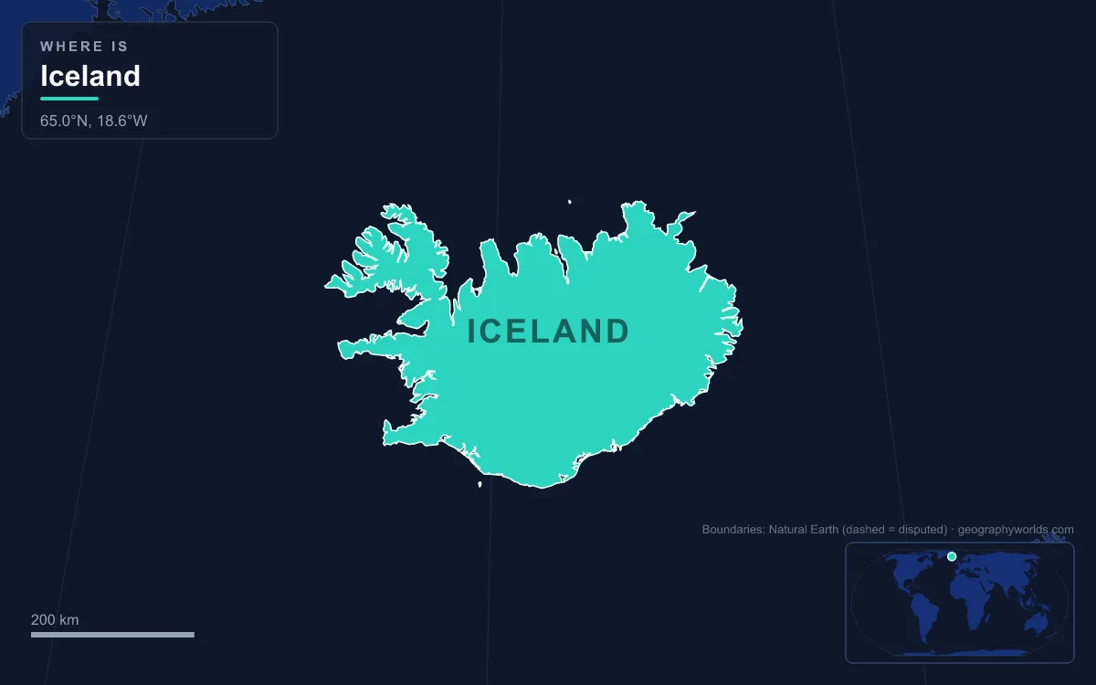
Unusually for a country name, the place that inspired it can still be visited. The fjord Flóki saw, the shore where he camped and the town that took the same "ice fjord" name all lie in the Westfjords, the thinly populated peninsula in Iceland's north-west. This article follows the name back to those places and looks at what they are like now.
Snæland, Garðarshólmur and Ísland: three names in the Landnámabók
Flóki's was the third name the island received. The Landnámabók says the first Norseman to reach it was Naddodd, who got lost sailing from Norway to the Faroe Islands and called the land Snæland, "snow land". The second was the Swede Garðar Svavarsson, who sailed all the way round it and named it Garðarshólmur, "Garðar's isle", after himself. Neither of them meant to stay.
The Norse were not the first people there either. Both the Landnámabók and the Íslendingabók mention monks called the Papar, possibly from a Hiberno-Scottish mission, living on the island before the Scandinavians arrived. Archaeology hints at early visitors too: a cabin excavated at Hafnir on the Reykjanes peninsula was abandoned sometime between 770 and 880 according to carbon dating. No name the Papar used for the island has survived, so the recorded naming history begins with the Norse.
Flóki was the first Norseman to sail to Iceland on purpose. The year is uncertain, but his voyage is usually placed around 868. He set out from western Norway with his wife Gró and their children, stopped in Shetland, where one daughter drowned, and in the Faroes, where another married. From the Faroes he took three ravens to help find land, which earned him his nickname, Raven-Flóki. The first raven flew back towards the Faroes, the second circled and returned to the ship, and the third flew north-west and did not come back, so the crew followed it.
The sagas link several modern place names to this voyage. After rounding Reykjanes the crew saw a wide bay, and one of them, Faxi, remarked that they had found a great land; the bay facing Reykjavík has been called Faxaflói, "Faxi's bay", ever since. Flóki's companions disagreed about the country when they returned to Norway. Flóki called it worthless, Herjólfur said it had good and bad points, and Þórólfur claimed that butter was smeared on every straw of the new land, which earned him the nickname Thorolf Butter. Flóki's grim name won out over Þórólfur's praise, yet Flóki himself later went back and lived in Iceland until his death.
Vatnsfjörður at Barðaströnd: the winter camp
The name was born in the southern Westfjords. Flóki made his winter camp in Vatnsfjörður at Barðaströnd, the stretch of coast that runs between Vatnsfjörður and Sigluneshlíðar on the north side of Breiðafjörður, the broad bay between the Westfjords and the Snæfellsnes peninsula. The summer had been good, the saga says, and Flóki was poorly prepared for the cold winter that followed; the livestock the crew had brought with them died before spring.

Waiting for spring, Flóki climbed the highest mountain above his camp. Historians now believe it was Nónfell. From the top he looked north across the Westfjords to a large fjord full of sea ice, and from that view he named both the fjord and the island. Today Vatnsfjörður is a protected nature reserve on the Hjarðarnes coast north-west of Breiðafjörður, listed by the Environment Agency of Iceland. Barðaströnd, the coast where the camp stood, is still described as an area of historical interest because of the saga, and the link between this shore and the country's name rests on that written account alone.
The Westfjords as a whole remain the least populous region of Iceland, with 7,168 inhabitants in 2024. The peninsula is joined to the rest of the country by an isthmus only seven kilometres wide between Gilsfjörður and Bitrufjörður, and its coast is cut by dozens of fjords that make road journeys long and winter travel difficult; many roads close under ice and snow for months, although the Vestfjarðagöng tunnel opened in 1996 eased the problem. The cliffs of Látrabjarg, the longest bird cliff in the North Atlantic and the westernmost point of Iceland, are also in the Westfjords, and Drangajökull in the north is the region's only glacier and the fifth-largest in the country.
Ísafjarðardjúp: the fjord of sea ice that Flóki saw
The fjord at the heart of the story is Ísafjarðardjúp, a large fjord in the northern Westfjords whose name translates as "the depth of the fjord of sea ice". Originally the whole water was simply called Ísafjörður, "ice fjord", and the "-djúp" (deep) part, which first described the inner reaches, was later applied to the whole inlet. According to tradition Flóki named it at the same moment as the island, looking at it from a mountain to the south.
Today the fjord is a long arm of the sea opening onto the Denmark Strait, with Greenland's east coast on the far side. Its north-eastern shore is fairly straight, its southern side is split into a series of smaller fjords such as Skutulsfjörður, Álftafjörður and Seyðisfjörður, and one of those branches still bears the old name Ísafjörður. Three islands lie inside it: Vigur and Æðey, each with a single farmstead, and the uninhabited Borgarey.

The name also lives on in the region's main town. Ísafjörður, "fjord of ices", sits on a spit of sand in Skutulsfjörður near the mouth of Ísafjarðardjúp and has about 2,600 inhabitants, making it the largest settlement in the Westfjords. The Landnámabók says Skutulsfjörður was first settled by Helgi Magri Hrólfsson in the 9th century; the town grew as a trading post for foreign merchants in the 16th century and received municipal status in 1786. Its old Danish trading post, Neðstikaupstaður, holds the oldest group of timber-framed houses in Iceland, including the Krambúð of 1757 and the Turnhúsið of 1784, which houses the Westfjords Heritage Museum. Bolungarvík, Hnífsdalur and Súðavík are the other main settlements on the fjord, and at its innermost end lies the former trading post of Arngerðareyri.
The ice fjord's later history was often harsh. As Ísafjörður grew as a trading post in the 16th century, witch trials were common across the Westfjords, and many people were banished to the nearby Hornstrandir peninsula, now a national nature reserve. In 1615 local people killed 32 shipwrecked Basque whalers, after which the magistrate made a law against Basques in the region. The good natural harbours of the fjords and their nearness to rich fishing grounds have long been vital to the local economy, because the lack of flat lowland limits farming mostly to low-intensity sheep grazing near the shore.
Is Iceland icy? The Westfjords climate and the myth of a deterrent name
Flóki's view was not a freak. The Westfjords are the coldest part of Iceland at sea level because of the cold East Greenland Current flowing past the peninsula. Ísafjörður has a tundra climate: its warmest month, July, averages only 9.9 °C, and its wettest, November, brings about 120 mm of precipitation. A settler arriving in a good summer and staying into a cold winter could easily come away with Flóki's opinion.
The rest of the island is milder than the name suggests, but not by as much as popular accounts claim. The warm North Atlantic Current gives Iceland's coast a subarctic climate that is milder than most places at a similar latitude, yet lakes and glaciers cover 14.3% of its surface and only 23% is vegetated; 62.7% of the country is tundra. When the first settlers arrived, roughly 25 to 40% of Iceland was forested, mostly with northern birch; clearing for timber, firewood and grazing then stripped most of it, leading to heavy soil erosion.
The deterrent theory says Icelanders kept a forbidding name to keep competitors away while sending them to a falsely inviting Greenland. It is most likely a myth, and the dates do not fit: the name came from Flóki in the 860s, before Ingólfr Arnarson founded the first permanent farm at Reykjavík in 874, and long before Greenland was settled from 986. Harsh conditions were real enough. Iceland had 37 years of famine between 1500 and 1804, and in the late 19th century about 15,000 people out of 70,000 emigrated, many to New Iceland around Gimli in Manitoba. Flóki's choice describes what he saw from one mountain in one bad winter. Why the more southerly island ended up with the cold name is told in why Iceland is green and Greenland is icy, and the other half of the Norse naming story is in why Greenland is called Greenland. Most of today's Icelanders live far from Flóki's fjord, in and around Reykjavík, the capital.