

Ancient Greece's geography — rugged mountains, hundreds of islands, and a deeply indented coastline — fragmented the land into isolated pockets that gave rise to the city-state (polis) system, one of history's most consequential political innovations.
Introduction
With 80% of the land covered by mountains and no point in Greece more than 100 km from the sea, the ancient Greeks became skilled sailors and colonizers. The Mediterranean climate (hot, dry summers; cool, wet winters) supported olive and grape cultivation but limited grain production, pushing the Greeks to trade and establish colonies from Spain to the Black Sea.
From the Minoan palaces of Crete (c. 2000 BCE) through the Classical Age of Athens and Sparta (5th century BCE) to Alexander the Great's empire (336–323 BCE), Greek civilization was shaped by its fragmented, maritime geography.
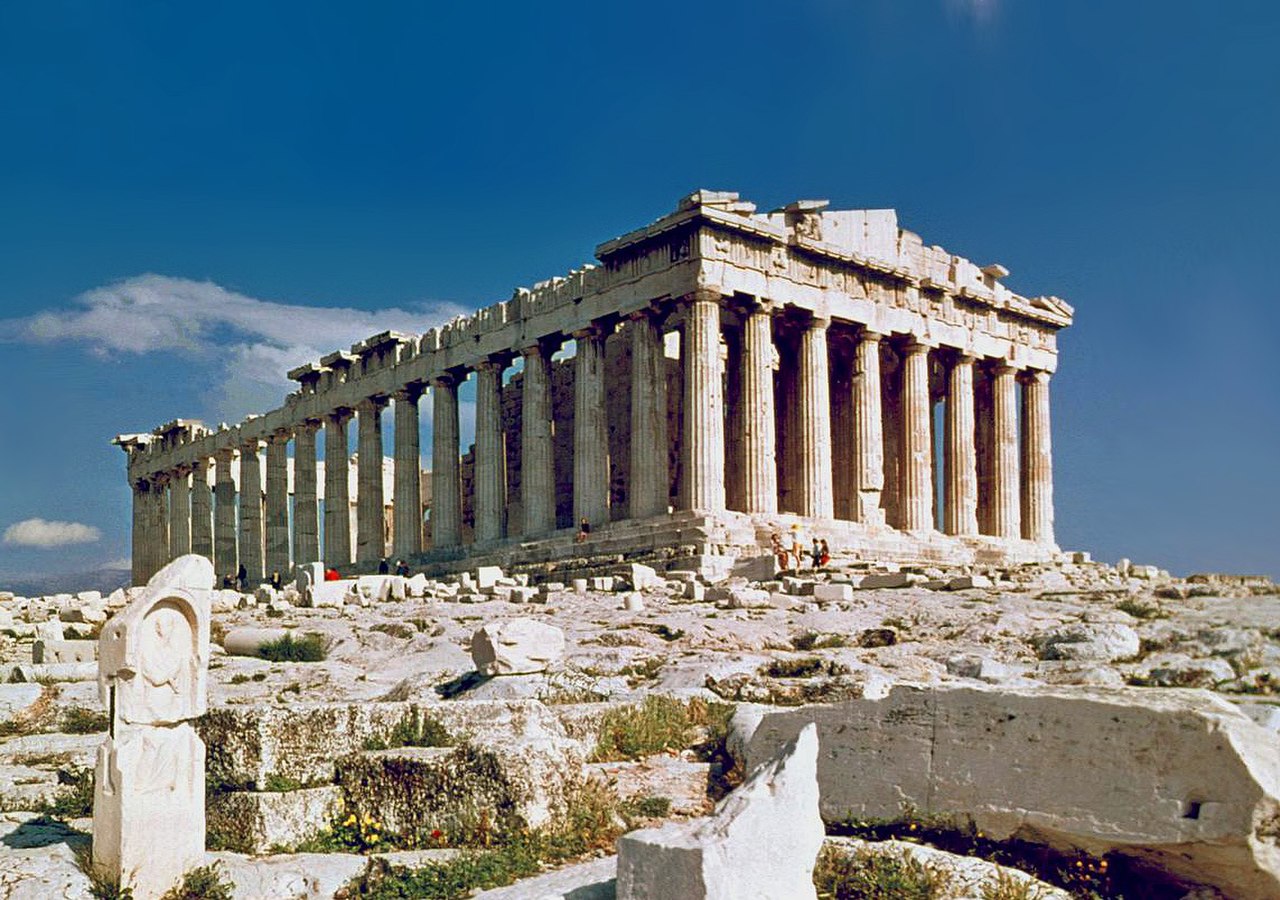
Mountainous Terrain and City-States
- Mountain Coverage: 80% of Greece is mountainous — highest peak: Mount Olympus at 2,917 m
- Valleys: Small, fertile valleys separated by mountain ranges created natural boundaries for independent poleis
- Number of City-States: Over 1,000 independent poleis at the peak of Greek civilization
Greece's backbone is the Pindus Mountains, running north-south and dividing the country into isolated valleys and coastal plains. These natural barriers made political unification nearly impossible and encouraged the development of fiercely independent city-states, each with its own government, laws, army, and identity.
Athens controlled the Attic peninsula and its surrounding plain (~2,500 km²). Sparta dominated the Eurotas valley in Laconia, protected by the Taygetus Mountains (2,407 m). Corinth controlled the narrow isthmus connecting the Peloponnese to mainland Greece — a strategic choke point for land trade. Thebes occupied the largest plain in Greece (Boeotia), giving it superior agricultural resources.
The Aegean Sea and Maritime Culture
- Islands: Over 6,000 islands and islets, of which ~200 are inhabited
- Coastline: Greece has ~16,000 km of coastline — more than any European country relative to its size
- Key Sea Routes: Aegean island chains created stepping-stone routes between Greece, Asia Minor, Egypt, and the Black Sea
The Aegean Sea is dotted with islands that form natural stepping-stones for maritime navigation. A sailor crossing the Aegean was rarely out of sight of land, making long-distance sea travel less dangerous than overland journeys through mountain passes. This geography made the Greeks natural seafarers.
The Cyclades islands formed a central hub linking mainland Greece to Crete, Asia Minor, and Egypt. The Dodecanese connected Greece to the Levant. The Strait of the Dardanelles (Hellespont) provided access to the Black Sea and its grain-rich shores — a vital trade route that Athens fought to control.
Athens vs. Sparta: Geography of Rivals
- Athens: Coastal, connected to port of Piraeus — maritime power, trade-based economy, population ~300,000 at peak
- Sparta: Inland valley, surrounded by mountains — land-based military power, agricultural economy, population ~100,000
The contrast between Athens and Sparta illustrates how local geography shaped political systems. Athens' proximity to the sea (8 km to Piraeus) made it a trading and naval power. Maritime wealth supported a large middle class of merchants and craftsmen, which in turn supported democratic politics.
Sparta's Eurotas valley was one of the most fertile in Greece but was surrounded by mountains that limited trade. Sparta relied on enslaved helots (conquered Messenians) to farm while Spartan citizens devoted themselves to military training. The Peloponnesian War (431–404 BCE) was fundamentally a contest between these two geographic and political models.
Colonies and Cultural Spread
- Colonial Period: c. 750–550 BCE — Greeks founded hundreds of colonies across the Mediterranean and Black Sea
- Key Colonies: Syracuse (Sicily), Massalia (Marseille), Byzantium (Istanbul), Cyrene (Libya), Naucratis (Egypt)
- Reason: Limited farmland + growing population = emigration to new agricultural lands
Greece's limited arable land (only ~20% of the total area) could not support a growing population. Greek city-states sent out colonizing expeditions to establish new settlements with better farmland. These colonies maintained cultural and trade ties with their mother cities while developing independently.
The result was a vast Greek cultural zone stretching from the western Mediterranean to the eastern Black Sea. Greek became the lingua franca of trade, and Greek ideas about democracy, philosophy, and science spread across this entire network. Alexander the Great's conquests (334–323 BCE) extended Greek culture even further — to Egypt, Persia, and the borders of India.
Key Facts
- Greece has over 6,000 islands but only ~200 are inhabited
- 80% of Greece is mountainous with limited arable land
- Over 1,000 independent city-states existed at Greek civilization's peak
- Athens' population at its peak was roughly 300,000 (including slaves and non-citizens)
- Greek colonies stretched from Spain to the Black Sea
Fun Facts
- Mount Olympus (2,917 m) — home of the Greek gods — was not successfully climbed until 1913
- The Marathon battlefield is exactly 42.195 km from Athens — the origin of the marathon race distance
- Ancient Greeks used olive oil not just for cooking but as soap, fuel, medicine, and currency
- The word "democracy" comes from Greek "demos" (people) + "kratos" (power/rule)
Final Thoughts
Ancient Greece proves that geographic fragmentation can be a creative force. The mountains and islands that prevented political unity also fostered competition, innovation, and diversity — producing democracy, philosophy, drama, and scientific inquiry that became the foundations of Western civilization.
Test Your Knowledge!
Think you know your ancient civilizations? Try our interactive geography quiz!
Play Geography Games →