
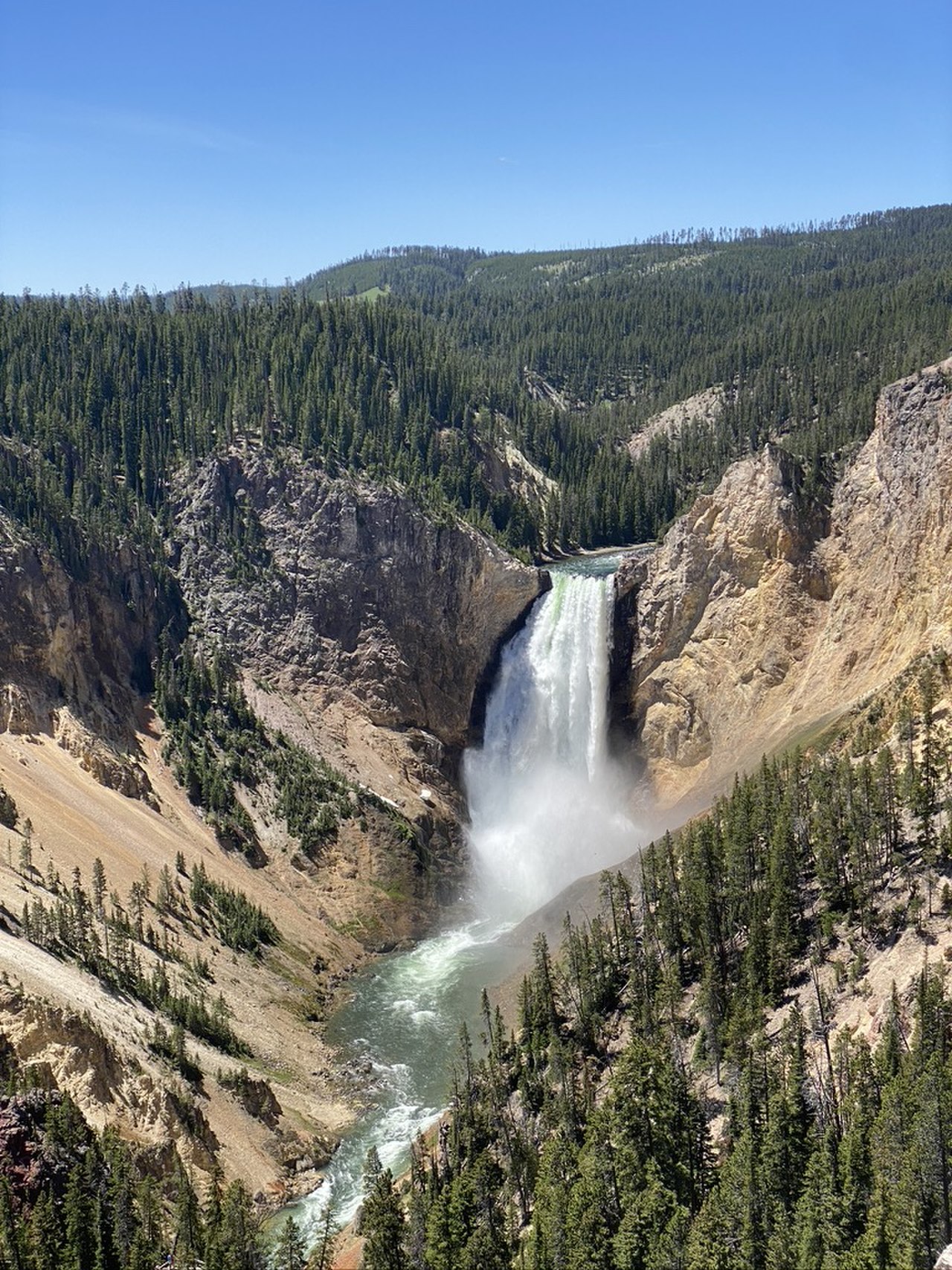
The climate of the USA spans more than nine distinct zones, from tropical in Hawaii and southern Florida to Arctic in northern Alaska, with recorded temperatures ranging from -62°C (-80°F) in Alaska to 56.7°C (134°F) in California's Death Valley — the hottest air temperature ever measured on Earth. Because the United States stretches across roughly 53 degrees of latitude and four time zones in the lower 48 alone, there is no single "American climate." The best time to visit depends almost entirely on which region you choose.
Why the USA Has So Many Climates
The sheer scale of the country is the starting point. The contiguous 48 states reach from about 24°N near Key West to 49°N along the Canadian border, while Alaska pushes past 71°N and Hawaii sits near 19°N in the tropics. That latitude range alone guarantees variety, but the landscape amplifies it dramatically.
Mountain ranges act as giant climate dividers. The Rocky Mountains cast a rain shadow that leaves the Great Plains and intermountain basins dry, while the Sierra Nevada and Cascades wring moisture out of Pacific air before it reaches Nevada and Utah. The Gulf of Mexico, meanwhile, pumps warm, humid air northward, feeding both the muggy summers of the Southeast and the violent storms of the central plains. Under the Köppen system, the country includes tropical (Af, Am), arid (BWh, BSk), Mediterranean (Csa), humid subtropical (Cfa), humid continental (Dfa, Dfb), and polar (ET, EF) zones.
Regional Weather and Seasons
The eastern half of the country is broadly humid. The Northeast and Midwest have a humid continental climate with four sharp seasons — summer highs of 22–32°C (72–90°F) and winters that routinely drop below freezing, with Midwest lows reaching -15°C (5°F) or colder. The Southeast is humid subtropical, delivering long, hot, sticky summers around 28–35°C (82–95°F), frequent afternoon thunderstorms, and a hurricane season from June through November.
Move west and the picture changes. The interior Southwest is genuinely arid: Phoenix averages only about 200 mm of rain a year, and summer afternoons can soar past 45°C (113°F). The Pacific coast splits into two characters — Southern California enjoys a warm, dry Mediterranean climate, while the Pacific Northwest around Seattle and Portland sees mild, drizzly winters and crisp, dry summers. Add Alaska's subarctic and Arctic conditions and Hawaii's trade-wind tropics, and the United States effectively contains the climate of an entire continent.
Rainfall and Extreme Weather
Precipitation across the USA is just as variable as temperature:
- Pacific Northwest: roughly 900–2,500 mm per year, concentrated October to May
- Southeast: about 1,200–1,500 mm spread fairly evenly across the year
- Southwest deserts: as little as 75–250 mm annually
- Mount Waialeale, Kauai: one of the wettest spots on Earth, exceeding 11,000 mm on its rainiest slopes
The country is also a global capital of severe weather. It averages well over 1,000 tornadoes per year — more than any other nation — concentrated in "Tornado Alley" from Texas up through Nebraska, where flat plains let frigid Arctic air slam into warm Gulf moisture and spawn towering supercell storms. Hurricanes strike the Gulf and Atlantic coasts, blizzards bury the Northeast and upper Midwest, and Mount Washington in New Hampshire famously clocked a 372 km/h (231 mph) wind gust, a surface world record that stood for decades.
Best Time to Visit by Region
Because conditions vary so widely, timing should follow your destination rather than the calendar:
- New York and the Northeast: May–June for mild air, or September–October for spectacular autumn foliage
- Florida and the Southeast: November–April, dodging summer heat and hurricane season
- California: a year-round option, with the south best October–April and the north finest in summer
- Western national parks (Yellowstone, Yosemite, Grand Canyon): May–September, when high-elevation roads are open
- Alaska: June–August for long daylight and wildlife
- Hawaii: pleasant all year, slightly drier December–March
For a deeper look at the regions, landscapes, and travel logistics behind these seasons, see our usa country guide, which covers the country region by region.
Frequently Asked Questions
What is the hottest and coldest place in the USA?
Death Valley, California holds the world record high of 56.7°C (134°F), set in 1913. At the other extreme, Prospect Creek in Alaska fell to -62°C (-80°F) in 1971, the coldest reliably recorded temperature in the country.
Which US climate zone is the most extreme?
The Midwest and northern Great Plains experience the largest annual temperature swings, sometimes more than 60°C between summer highs above 35°C and winter lows below -30°C. The arid Southwest reaches the highest sustained heat, while interior Alaska endures the deepest cold.
When is hurricane season in the USA?
The Atlantic and Gulf hurricane season officially runs from June 1 to November 30, peaking in late August and September. It mainly affects the Gulf Coast, Florida, and the Southeast Atlantic seaboard, so coastal travel there is safest from late autumn through spring.
Does it ever snow in the southern USA?
Snow is rare but not unknown in the Deep South; cities like Atlanta or Dallas may see occasional light snow in winter, while the southern mountains of North Carolina and Tennessee get reliable seasonal snowfall. South Florida and Hawaii, however, almost never see snow at sea level.