

The Crusades (1095-1291) were a series of religious wars that sent European armies across approximately 3,000 kilometers to contest control of Jerusalem and the wider Levant. Over nearly two centuries, Crusaders established four states along the eastern Mediterranean coast, fought dozens of major battles, and permanently altered the geographic relationship between Christian Europe and the Islamic world.
Introduction
The geography of the Crusades was the geography of logistics. European armies had to cross the width of Anatolia or sail the length of the Mediterranean to reach the Holy Land. Once there, they held a narrow coastal strip backed by hostile territory, dependent on sea supply lines and fortified castles for survival. Geography ultimately determined that the Crusader States would fail: they were too far from Europe and too exposed to survive.
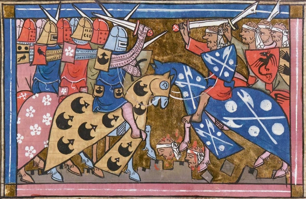
Geographic Context
- Distance: ~3,000 km from France to Jerusalem
- Crusader Coast: ~600 km (Antioch to Gaza)
- Key City: Jerusalem (altitude 750 m, inland)
- Supply Route: Mediterranean sea lanes
The Holy Land occupied a narrow coastal strip along the eastern Mediterranean, backed by the mountains of Lebanon and the Syrian Desert. Jerusalem itself sat roughly 60 kilometers inland at 750 meters elevation, surrounded by arid hills. Controlling it required holding the coastal ports that provided supply access and the mountain passes that connected the coast to the interior.
The Crusader States occupied a geographic corridor approximately 600 kilometers long but rarely more than 100 kilometers wide, stretching from Antioch in the north to the borders of Egypt in the south. This narrow strip was flanked by Muslim powers on three sides: the Seljuk Turks in Anatolia, the various Islamic states of Syria and Mesopotamia, and Fatimid (later Ayyubid) Egypt to the south.
Key Events
- First Crusade: 1096-1099 (captured Jerusalem)
- Fall of Edessa: 1144 (triggered Second Crusade)
- Saladin Recaptures Jerusalem: 1187
- Fall of Acre: 1291 (end of Crusader States)
The First Crusade (1096-1099) succeeded largely because of geographic timing. The Islamic world was politically fragmented, with the Seljuk Sultanate divided among quarreling princes and Egypt under the declining Fatimid dynasty. Crusader armies marched through Anatolia, captured Antioch after a brutal siege, and took Jerusalem in July 1099, establishing four Crusader States along the coast.
Saladin's recapture of Jerusalem in 1187 was a geographic strategy. By unifying Egypt and Syria under Ayyubid control, Saladin surrounded the Crusader States from both north and south. His decisive victory at the Battle of Hattin, fought near the Sea of Galilee in brutal summer heat, destroyed the Crusader field army by cutting it off from water sources. Geography, specifically control of water in an arid landscape, decided the battle.
Territorial Changes
- Crusader States: Edessa, Antioch, Tripoli, Jerusalem
- Peak Territory: ~1130 AD (maximum extent)
- Saladin's Conquests: 1187 (most of the Kingdom of Jerusalem)
- Final Loss: Acre falls 1291
The four Crusader States, the County of Edessa, the Principality of Antioch, the County of Tripoli, and the Kingdom of Jerusalem, were organized around geographic realities. Each state was centered on a major port city or strategic position. Edessa, the most exposed, was the first to fall (1144) because it lay east of the Euphrates, separated from the other states by hostile territory.
The Crusader castle network was a geographic masterpiece of medieval military engineering. Krak des Chevaliers in Syria, Kerak in Jordan, and Belvoir above the Jordan Valley were positioned to control key routes, passes, and water sources. These castles allowed a small Crusader population (estimated at 250,000 Franks among several million Muslim and Christian locals) to control territory far larger than their numbers would normally permit.
Lasting Impact
- Trade Routes: Italian merchant cities gained Eastern Mediterranean trade access
- Cultural Exchange: European contact with Islamic science, architecture, food
- Military Architecture: Crusader castles influenced European castle design
The Crusades permanently altered Mediterranean trade geography. Italian city-states, particularly Venice, Genoa, and Pisa, established trading quarters in Crusader port cities, gaining direct access to Eastern goods. Even after the Crusader States fell, these Italian commercial networks persisted, with Venice and Genoa maintaining trading posts across the eastern Mediterranean.
Cultural exchange during the Crusades transmitted Islamic knowledge to Europe. Arabic numerals, algebra, optics, medical knowledge, and architectural techniques reached Europe through Crusader contact. Foods including sugar, rice, lemons, and apricots were introduced to European diets. The geographic contact zone of the Crusader States became a cultural transmission belt between civilizations.
Modern Relevance
- Crusader Ruins: UNESCO sites across Israel, Syria, Jordan, Lebanon
- Historical Memory: Crusades shape Western-Islamic relations narratives
- Geopolitics: Levantine geography still contested
The Crusader castle ruins that dot the Levantine landscape remain among the most impressive medieval fortifications in the world. Krak des Chevaliers in Syria and the Old City of Acre in Israel are UNESCO World Heritage Sites. These structures testify to the geographic challenges of holding territory far from one's homeland base.
The historical memory of the Crusades continues to influence geopolitical narratives. In the Islamic world, the Crusades are often cited as evidence of Western aggression against Muslim lands. In the West, they are variously romanticized or criticized. The geographic contest for the Holy Land remains politically sensitive, with modern Israeli-Palestinian geography echoing some of the same territorial dynamics as the Crusader period.
Key Facts
- European Crusader armies traveled approximately 3,000 km to reach Jerusalem from France.
- The four Crusader States held a coastal strip roughly 600 km long and rarely more than 100 km wide.
- The Battle of Hattin (1187) was decided by Saladin cutting the Crusader army off from water sources.
- Italian city-states gained permanent Eastern Mediterranean trading positions through the Crusades.
- The last Crusader city, Acre, fell to the Mamluks in 1291 after nearly 200 years of Crusader presence.
Fun Facts
- Krak des Chevaliers in Syria was so formidable that Saladin reportedly took one look at it and decided not to besiege it, bypassing the castle entirely during his 1187 campaign.
- The Crusader population of the Holy Land was remarkably small, estimated at roughly 250,000 Franks governing a territory inhabited by several million Muslim, Jewish, and Eastern Christian residents.
- The word "assassin" entered European languages during the Crusades, derived from the Nizari Ismaili sect (the "Hashashin") who operated from mountain fortresses in Syria and Iran, using geography for their own strategic advantage.
- Richard the Lionheart of England could see Jerusalem from the hills near the city in 1192 but refused to look at it, reportedly saying he was not worthy to see the city he could not conquer, a geographic frustration that epitomized the Third Crusade.
Final Thoughts
The Crusades were a geographic overreach. European armies conquered a narrow coastal strip 3,000 kilometers from home and tried to hold it against surrounding Muslim powers for two centuries. Geography ultimately decided the outcome: the Crusader States were too far from reinforcement, too narrow to defend in depth, and too dependent on sea supply lines. Yet the geographic contact between Europe and the Levant permanently transformed trade, culture, and knowledge in both directions.
Test Your Knowledge!
Think you know your historical geography? Try our interactive geography quiz!
Play Country Quiz →