
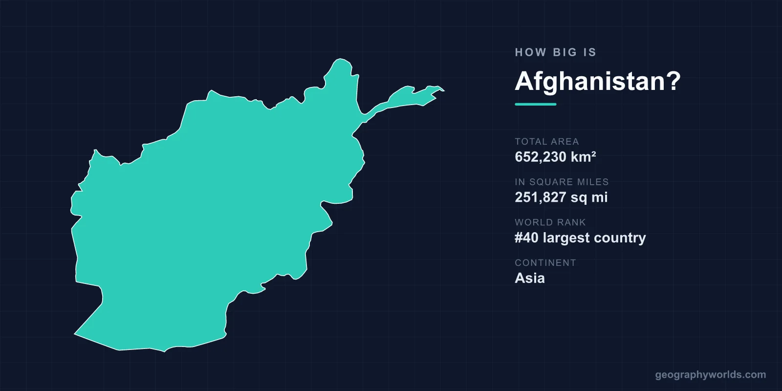
Afghanistan covers 652,230 km², or 251,827 square miles, making it the 40th largest country in the world. That is larger than France, roughly the size of Texas, and about the same as Ukraine plus Belgium. It is landlocked, and something close to three-quarters of that area is mountain or high plateau, which is the single most important fact about it.
The Mountains Take Most of It
The Hindu Kush runs north-east to south-west through the middle of the country, an extension of the Pamir and Karakoram systems, with peaks above 7,000 metres in the far north-east and a spine that rarely drops below 3,000 metres through the centre.
Noshaq, on the Pakistani border, is the highest point at 7,492 metres. The central highlands, the Hazarajat, form a mass of ridges and narrow valleys covering a large part of the country's area with very little flat ground.
Only about 12 per cent of Afghanistan is arable, and a much smaller share is irrigated. The usable land is concentrated in river valleys and in the northern plains toward the Amu Darya, which is where most of the population lives.
Measured Against Familiar Places
France covers 551,695 km², so Afghanistan is about a sixth larger. Texas, at 695,662 km², is marginally bigger. Ukraine at 603,548 km² is a little smaller, and Iraq at 438,317 km² is about two-thirds the size.
The comparison that matters most locally is Pakistan, at 881,912 km² roughly a third larger, with around six times the population. Afghanistan is the emptier of the pair by a wide margin, which is a function of how much of it stands on end.
A Finger Pointing at China
The oddest feature of Afghanistan's shape is the Wakhan Corridor, a strip of territory in the far north-east roughly 350 kilometres long and in places under 15 kilometres wide, running east to a short border with China.
It exists for a single reason: the Anglo-Russian agreement of 1895 needed a buffer between British India and the Russian Empire, and rather than let the two touch, the negotiators assigned this corridor to Afghanistan. Neither empire consulted the Wakhi and Kyrgyz who live there.
The corridor is among the most isolated inhabited places on earth. It has no paved road, the passes into China are closed, and its Kyrgyz herders at the eastern end live above 4,000 metres in one of the harshest permanently occupied environments anywhere.
Landlocked, and Doubly So
Afghanistan has no coastline and, more awkwardly, none of its neighbours offers a short route to one. The nearest ports are Karachi and Gwadar in Pakistan, Bandar Abbas and Chabahar in Iran, and the Central Asian routes north lead only to more landlocked countries.
That has made transit a permanent instrument of leverage. Pakistan has closed border crossings at Torkham and Chaman during disputes, halting Afghan trade; India has invested in Chabahar in Iran precisely to reach Afghanistan without crossing Pakistan.
The historical version of the same geography is more flattering: the same position made Afghanistan a hub rather than a cul-de-sac when goods moved overland, and Balkh, Herat and Kandahar were major Silk Road cities.
The Rivers Do Not Reach the Sea
Afghanistan is one of relatively few countries whose principal rivers are mostly endorheic — they end in inland basins rather than an ocean.
The Helmand, the longest at around 1,150 kilometres, drains south-west into the Sistan basin on the Iranian border, where it feeds wetlands that have repeatedly dried out. The Hari Rud runs west toward Turkmenistan and disappears into the Karakum. Only the Kabul river, flowing east into the Indus, reaches the sea.
The Amu Darya forms much of the northern border and once fed the Aral Sea, before Soviet irrigation in Uzbekistan and Turkmenistan destroyed it. Afghan withdrawals from the river have historically been small, and the Qosh Tepa canal under construction in the north would change that significantly — a prospect that concerns downstream states considerably.
The Registan and the South
South-west of the mountains the land flattens into desert: the Registan, a sand sea, and the Dasht-e Margo, the desert of death. Together with the Sistan basin these cover a large part of Helmand, Nimruz and Kandahar provinces.
Helmand province alone is around 58,584 km², larger than Croatia, and the irrigated strip along the Helmand river running through it — much of it built by an American engineering project in the mid-twentieth century — became the most productive opium-growing land in the world.
Borders Nobody Fully Agreed
Afghanistan's boundaries were drawn by others. The Durand Line with British India, agreed in 1893 and running about 2,640 kilometres, was accepted by the Afghan emir under pressure and has been rejected by every Afghan government since, because it divides Pashtun territory roughly in half.
The northern boundary with the Central Asian states was fixed by Anglo-Russian agreements in the 1880s and 1890s along the Amu Darya and Panj rivers. The western boundary with Iran was arbitrated by British commissions in the nineteenth century, and the Helmand water share arising from it has been disputed ever since.
The result is that a country of 652,230 km² has boundaries drawn almost entirely by two empires that were not Afghan, to keep themselves apart.
Distances and Passes
Afghanistan is roughly 1,240 kilometres east to west and 820 north to south, but travel time bears little relation to distance because of the terrain.
The Salang Pass and its tunnel, built with Soviet assistance in the 1960s at around 3,400 metres, is the only reliable road link between Kabul and the north, and its closure by snow or accident cuts the country in two. Avalanches there have killed hundreds.
The Khyber Pass east of Jalalabad, the Bolan further south, and the Shibar and Unai passes in the centre are the same chokepoints every invading army has used, which is why Afghan military history is a history of a small number of specific valleys.
What Is Under the Ground
Surveys have estimated Afghanistan's mineral wealth in the hundreds of billions of dollars: copper at Mes Aynak south of Kabul, iron at Hajigak, lithium, rare earths, gold, and the lapis lazuli of Badakhshan that has been mined for six thousand years and reached Egyptian tombs.
Almost none of it has been developed at scale. The obstacles are the same ones that make the area hard to govern — no railway network to speak of, no coast, mountains between the deposits and any market, and decades of conflict.
A Population Spread Thinly and Unevenly
With around 45 million people in 652,230 km², Afghanistan's density is roughly 69 per square kilometre — low by South Asian standards. But because so little of the land is usable, the effective density on cultivable ground is many times that.
Kabul sits in a bowl at around 1,800 metres and has grown from perhaps half a million in 1980 to several million, in a valley with limited water and no room to expand outward except up the surrounding hillsides, which are now covered in unplanned housing.
Thirty-Four Provinces, Very Unevenly Sized
Afghanistan is divided into 34 provinces, and their areas vary enormously. Helmand in the south-west covers around 58,584 km², larger than Croatia. Kapisa, north-east of Kabul, covers about 1,842 km², smaller than many English counties.
The largest provinces are in the desert south-west and the mountainous north-east, where population is thinnest; the smallest cluster around Kabul, where it is densest. Nuristan and Badakhshan in the north-east are large, high and among the least accessible administrative units anywhere, with districts that can be cut off by snow for months.
This unevenness has consequences for governance. A provincial governor in Helmand administers an area the size of a small European country with a handful of paved roads; one in Kapisa can reach every district in a morning. Any national programme — a census, a vaccination drive, an election — runs into that disparity immediately, which is part of why Afghanistan has not completed a full census since 1979.
The Land Nobody Has Surveyed Properly
Afghanistan's area is quoted to the square kilometre, which conveys more precision than exists. The country has not completed a full national census since 1979, population estimates vary by several million between sources, and substantial areas have never been mapped at high resolution on the ground.
Land ownership is the sharper version of the problem. A large majority of land is held without formal title, under customary arrangements, religious endowment or deeds issued by governments that no longer exist — Zahir Shah's monarchy, the communist republic, the first Taliban emirate, the post-2001 republic. Competing documents for the same plot are common, and land disputes are among the most frequent causes of local violence.
Successive attempts at cadastral survey have covered only a fraction of the country. So while Afghanistan's external boundary encloses 652,230 km², what that land is, who holds it and how many people live on it are all questions no institution has been able to answer comprehensively for nearly half a century.
Why the Figure Tells You So Little
652,230 km², 40th in the world, bigger than France, landlocked, and mostly vertical.
The area figure is one of the least informative numbers you can quote about Afghanistan. What matters is that the usable fraction is small, the routes between the usable parts are few, and the lines around the whole thing were drawn to suit somebody else. A fuller picture is in our Afghanistan country guide, and the range occupying most of that area is described in our Hindu Kush guide.
