
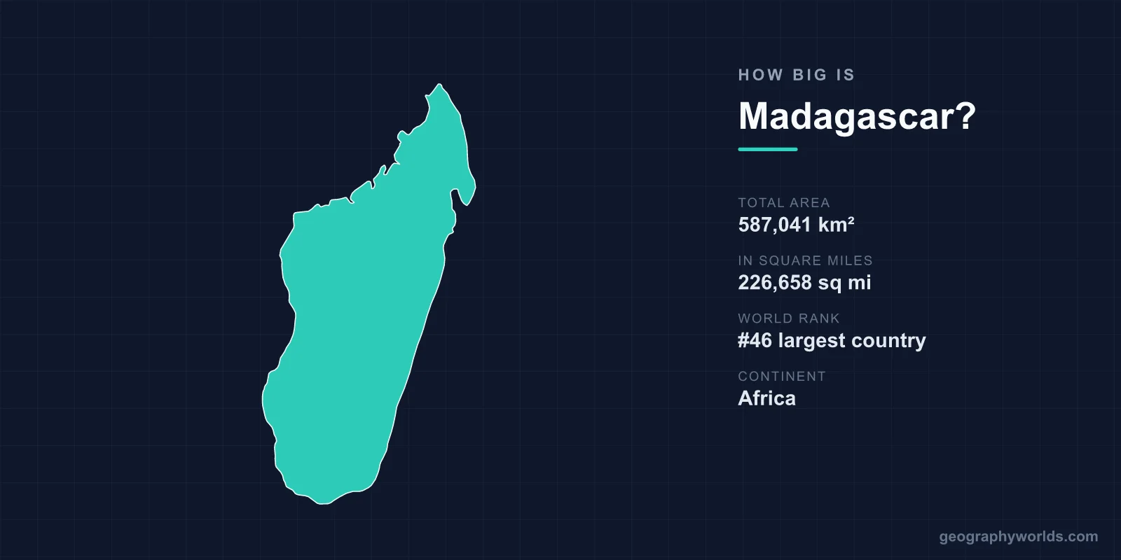
Madagascar covers a total area of 587,041 km² (226,658 sq mi), making it the 46th largest country in the world and the fourth-largest island on Earth. Roughly the size of France, this vast Indian Ocean nation stretches across an area larger than mainland Spain or two-and-a-half times the size of the United Kingdom, yet it remains one of the most distinctive landmasses anywhere because of its isolation and biodiversity.
Just How Big Is 587,041 km²?
Madagascar's land area accounts for about 0.39% of all the land on Earth, drawing from a global total of roughly 148.94 million km². While that may sound modest, the island is enormous by any practical measure. It is the world's fourth-largest island, trailing only Greenland, New Guinea, and Borneo, and it dwarfs every other island in the Indian Ocean. For a single island nation that few people can find quickly on a map, Madagascar packs a remarkable amount of territory and an even more remarkable variety of landscapes within its borders.
- Total area: 587,041 km² (226,658 sq mi)
- World rank: 46th largest country
- Island rank: 4th largest island on Earth
- Share of world land: approximately 0.39%
- Continent: Africa
- Capital: Antananarivo
The Shape and Reach of the Island
Madagascar is long and relatively narrow, stretching roughly 1,580 km from its northern tip to its southern coast and only about 580 km at its widest east-to-west span. That elongated north-south axis is one reason the country contains such varied climates and ecosystems, since the island reaches across a wide band of latitude. Its coastline runs for about 4,828 km, which is longer than the entire west coast of the contiguous United States. The island sits in the Indian Ocean off the southeastern coast of Africa, separated from Mozambique by the 400-km-wide Mozambique Channel.
This separation is more than a matter of distance. Madagascar broke away from the African mainland around 160 million years ago and later split from the Indian landmass roughly 88 million years ago, drifting in isolation ever since. That long solitude is exactly why its plants and animals evolved into forms found nowhere else.
A Landscape of Highlands, Coasts, and Deserts
For an island, Madagascar is strikingly mountainous and geographically diverse. A central highland plateau forms its spine, generally sitting between 800 and 1,500 m above sea level, and this is where the capital Antananarivo is located. The land drops sharply to the east, giving way to narrow coastal lowlands cloaked in tropical rainforest, while the western side rolls out into broader plains covered with dry deciduous forest. The far south fades into a semi-arid spiny desert unlike anything else on the continent.
The country's highest point is Maromokotro, in the northern Tsaratanana Massif, rising to 2,876 m (9,436 ft). Climate follows the terrain closely: the east coast can receive up to 3,500 mm of cyclone-driven rainfall a year, the highlands stay cooler and drier, and the southwest borders on true desert. Six distinct ecosystems coexist on the island, from rainforest to spiny thicket, all within a single national boundary.
How Madagascar Compares to Other Countries
Comparisons make the scale easier to picture. Madagascar is about 92% the size of France (640,679 km²), which is why "roughly the size of France" is the most common shorthand. It is considerably larger than Japan, covering about 155% of Japan's 377,975 km². Within Africa it ranks among the larger nations, and globally it sits just outside the top 45 countries by area. Travel across it, however, takes far longer than the numbers suggest, because rugged terrain and limited roads mean that crossing the island can be slow and demanding.
- About 92% the area of France
- About 155% the area of Japan
- More than 2.4 times the area of the United Kingdom
- Larger than the U.S. state of California (423,970 km²)
Why Madagascar's Size Matters
Madagascar's combination of large area and deep isolation produced one of the planet's great natural laboratories. Around 90% of its wildlife exists nowhere else, including more than 100 species of lemur that are unique to the island. It hosts roughly 12,000 plant species, of which about 80% are endemic. Iconic landscapes such as the Avenue of the Baobabs, lined with trees up to 30 m tall and centuries old, and the razor-sharp limestone pinnacles of the UNESCO-listed Tsingy de Bemaraha exist because there was enough space and enough time for such oddities to flourish in isolation. To explore more about the island's geography, history, and culture, see our madagascar country guide.
Frequently Asked Questions
Is Madagascar the largest island in the world?
No. Madagascar is the fourth-largest island on Earth, after Greenland, New Guinea, and Borneo. It is, however, the largest island in the Indian Ocean and far bigger than any of its island neighbors.
How does Madagascar's size compare to France?
Madagascar covers 587,041 km², which is about 92% of France's 640,679 km². That is why Madagascar is so often described as being "about the size of France."
How far is Madagascar from mainland Africa?
Madagascar lies off the southeastern coast of Africa, separated from Mozambique by the Mozambique Channel, which is roughly 400 km wide at its narrowest.
What is the highest point in Madagascar?
The highest point is Maromokotro at 2,876 m (9,436 ft), located in the Tsaratanana Massif in the north of the island.
