
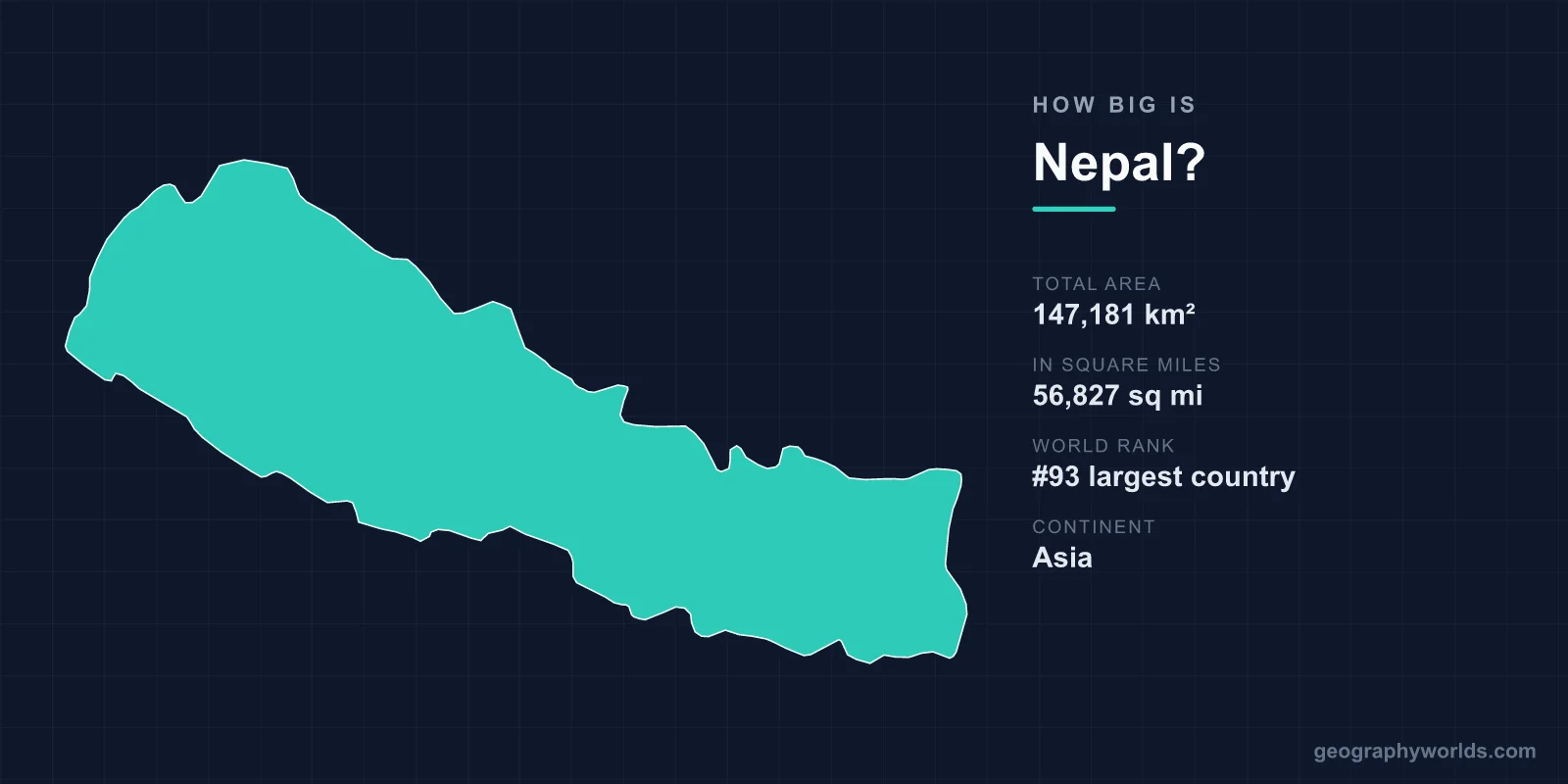
Nepal covers 147,181 km² (56,827 sq mi), roughly the 95th-largest country in the world. That is slightly smaller than Bangladesh, a little larger than Arkansas or New York State, and about 60 per cent of the size of the United Kingdom. Since 2020 Nepal's official map has also claimed about 335 km² in the Kalapani area that India administers, which would bring the total to about 147,500 km². The country is a long strip about 885 km from east to west and only 145 to 241 km from north to south. Yet within that width the land rises from 59 m above sea level to 8,849 m at the summit of Everest, the greatest range of altitude in any country on Earth.
Nepal Next to Places You Know
| Place | Area | Compared with Nepal |
|---|---|---|
| England | ~130,300 km² | About 11% smaller |
| Greece | ~132,000 km² | About 10% smaller |
| Arkansas | ~137,700 km² | About 6% smaller |
| New York State | ~141,300 km² | About 4% smaller |
| Bangladesh | ~148,500 km² | About 1% larger |
| Illinois | ~150,000 km² | About 2% larger |
| Tunisia | ~163,600 km² | About 11% larger |
| United Kingdom | ~243,600 km² | About 1.7 times larger |
The closest match is Bangladesh, only about 1,300 km² larger, but the two countries could hardly be more different. Bangladesh is almost flat and holds about 170 million people. Nepal is mostly mountain and has about 29 million. The two are separated by only about 27 km of Indian territory at the narrowest point, near the Siliguri corridor. We compare the delta nation on its own terms in how big Bangladesh is.
A Map Still Under Dispute
Nepal's own area figure changed in May 2020, when the government published a new political map that includes Kalapani, Lipulekh and Limpiyadhura, a triangle of high ground at the far north-western corner where Nepal, India and China meet. Nepal bases its claim on the 1816 Treaty of Sugauli with the British East India Company, which made the Kali River the western border. The dispute is over which stream is the true source of the Kali. India administers the area and rejects the map. The disagreement flared when India opened a road through the Lipulekh pass to Tibet in 2020, and it remains unresolved. A second, smaller dispute concerns Susta, on the Terai, where changes in the course of the Gandaki River have moved land from one bank to the other.
A Kingdom That Was Once Larger
Nepal's borders were set by conquest and then by defeat. From 1768, when Prithvi Narayan Shah of the hill kingdom of Gorkha took the Kathmandu Valley, the Gorkha state expanded rapidly. By the early nineteenth century it stretched along the Himalaya from Kangra, in what is now Himachal Pradesh, to the Teesta River beyond Sikkim, about half as long again as Nepal is today. Expansion brought it into conflict with the British East India Company, and the Anglo-Nepalese War of 1814–16 ended with the Treaty of Sugauli, under which Nepal gave up about a third of its territory, including Sikkim, Kumaon and Garhwal, and much of the Terai.
Some of that land came back. The British returned part of the Terai soon after the treaty, and in 1860, as a reward for Nepal's help in suppressing the Indian rebellion of 1857, they restored a further strip of the western Terai that Nepalis still call Naya Muluk, the "new country". The present border has changed little since.
Long and Narrow
Nepal's shape explains much of its geography. It runs about 885 km along the Himalaya, roughly parallel to the mountain range, but is so narrow that a straight line from the Indian border to the Tibetan border is rarely more than 200 km. Its land borders total about 3,160 km: about 1,770 km with India on three sides and about 1,390 km with China, along the Tibetan Plateau, to the north.
Across that short north–south distance the country falls into three broad belts. The Terai, the flat, fertile strip along the Indian border, which includes Nepal's lowest point, Kechana Kalan in Jhapa district at 59 m, is an extension of the Ganges plain and covers about a quarter of the country. It includes Lumbini, the birthplace of the Buddha, and Chitwan National Park, home to Bengal tigers and greater one-horned rhinoceros. The Hills, or Pahad, cover about 40 per cent, with terraced slopes and valleys including the Kathmandu and Pokhara valleys. Pokhara, at about 800 m, lies only around 35 km from the summit of Annapurna I, more than 7,000 m higher. The Mountains cover the northern third, with the Himalaya and the high valleys behind it.
Eight of the World's Fourteen Highest Peaks
Nepal is small, but it holds a remarkable share of the world's highest ground. Of the fourteen mountains above 8,000 m, eight lie wholly in Nepal or on its border: Everest, Kangchenjunga, Lhotse, Makalu, Cho Oyu, Dhaulagiri, Manaslu and Annapurna. Everest's height, 8,848.86 m, was measured jointly by Nepal and China and announced in December 2020. Everest stands on the border with China, in Sagarmatha National Park, a World Heritage Site since 1979. More on the mountain is in our guide to Mount Everest.
The rivers cut through the mountains rather than rising from them. The Kali Gandaki flows south between Dhaulagiri and Annapurna, two 8,000 m peaks about 35 km apart, through one of the deepest gorges in the world. Nepal's three great river systems, the Koshi, Gandaki and Karnali, all drain south into the Ganges. The Koshi carries so much sediment and changes course so often that it is known as the "Sorrow of Bihar", for the floods it causes downstream in India.
A Landscape Still Being Pushed Upward
Nepal's relief is still growing. The Indian plate is pushing north into Asia at around 4 to 5 cm a year, and the collision is what raised the Himalaya and keeps it rising. The strain is released in great earthquakes. On 25 April 2015, a magnitude 7.8 earthquake centred in Gorkha district killed about 9,000 people, destroyed or damaged hundreds of thousands of homes and brought down historic temples in the Kathmandu Valley. Satellite measurements showed that the ground around Kathmandu was lifted by about a metre in less than a minute. An earlier earthquake in 1934 devastated both Nepal and the Indian state of Bihar.
Tropical to Arctic in a Day's Drive
The altitude range gives Nepal a climate range usually found across a continent. The Terai has a hot, humid subtropical climate, with temperatures regularly above 40 °C before the monsoon. Kathmandu, at about 1,400 m, is temperate, with occasional frost in winter but almost never snow, and the high Himalaya is effectively arctic. Between the lowlands and the snow line, forests change from sal and tropical hardwoods to oak and rhododendron, the national flower, then to pine, birch and alpine meadow. That compression of zones is why Nepal is so rich in species for its size, with more than 870 recorded bird species.
The high country holds some remarkable lakes. Tilicho, in the Annapurna region at about 4,919 m, is among the highest large lakes in the world, and Rara, in the far west, is the country's largest at about 10 km². The summer monsoon, from June to September, brings most of the year's rain and also most of the landslides and floods that cut Nepal's mountain roads.
Where 29 Million People Live
The 2021 census counted about 29.2 million people, an average density of roughly 200 per km², but the distribution follows the landscape rather than the area. More than half of Nepalis now live in the Terai, which covers about a quarter of the country. About 40 per cent live in the Hills, and only about 6 per cent in the Mountains. The Kathmandu Valley, a former lake bed surrounded by hills, holds the capital and the historic royal cities of Patan and Bhaktapur, and its seven groups of monuments are a World Heritage Site.
Since the 2015 constitution Nepal has been a federal republic divided into seven provinces and 77 districts, replacing the old system of development regions. The provinces run in north–south slices across the belts, which means most of them include Terai plains, hill valleys and Himalayan peaks within their own boundaries.
Small Country, Big Neighbours
Nepal is landlocked between the world's two most populous countries, and its size is best understood in that setting. India is more than 22 times larger and China more than 65 times larger. Almost all of Nepal's trade passes through India, and when the border was blockaded in 2015, fuel and medicine ran short across the country. Nepal was never colonised, which is unusual in South Asia. Its independent history shows in small details, such as its clocks, set to UTC+5:45, fifteen minutes ahead of India, and its flag, the only national flag in the world that is not a rectangle, made of two stacked pennants often said to stand for the Himalaya. The Himalaya itself stretches well beyond Nepal, as our guide to where the Himalayas are shows.