
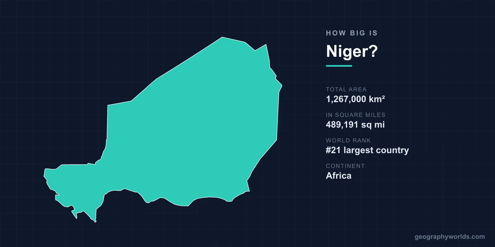
Niger covers a total area of 1,267,000 km² (489,191 sq mi), making it the 21st largest country in the world and the largest nation in West Africa. This vast, landlocked country in the heart of the Sahel is so big that it accounts for roughly 0.85% of all the land on Earth, yet more than 80% of that territory is swallowed by the Sahara Desert.
Just How Large Is Niger?
At 1,267,000 square kilometres, Niger is larger than almost every country you can name in Europe and most in Africa. Here are the headline figures:
- Total area: 1,267,000 km² (489,191 sq mi)
- World ranking: 21st largest country
- Share of global land: approximately 0.85%
- Continent: Africa (the Sahel/West Africa)
- Capital: Niamey
- Coastline: none — Niger is landlocked
To picture it, imagine a country that is almost twice the size of the US state of Texas. Niger is bigger than the combined area of France and Germany, and it dwarfs nations like Spain, Sweden, or Japan. Despite this enormous footprint, the land is dominated by sand and rock rather than people or farmland.
The Shape and Dimensions of the Country
Niger stretches roughly 1,600 km from north to south and about 1,300 km from east to west, giving it a broad, slightly tilted rectangular outline. Because it sits deep in the interior of the continent, every part of the country is far from the sea — the nearest ocean is more than 700 km away across neighbouring states.
The terrain rises gently from the southwestern river valley toward the highlands of the centre and north. The highest point is Mont Idoukal-n-Taghès in the Aïr Mountains, reaching 2,022 m (6,634 ft) above sea level. Around this central massif the land flattens into immense plains of gravel and dune, including the haunting Ténéré, often described as one of the most desolate places on the planet.
How Niger Compares to Other Places
Size comparisons make Niger's scale far easier to grasp:
- About 2 times the area of France (640,679 km²).
- Roughly twice the size of Texas, the second-largest US state.
- You could fit the entire United Kingdom inside Niger around 5 times over.
- Larger than France and Germany put together.
- Bigger than the US states of California, Texas, and Montana combined.
Within Africa, Niger is the biggest country in the West African region, edging out Mali and Chad as the dominant landmass of the central Sahel. For more on its borders, people, and culture, see our niger country guide.
Why So Much of Niger Is Empty
The reason Niger feels far less crowded than its area suggests is climate. More than four-fifths of the country lies within the Sahara, where rainfall is almost nonexistent and daytime temperatures routinely climb past 45°C. This has earned Niger the nickname "the Frying Pan of Africa." The north is permanently arid, while the far south receives only a short wet season between June and September.
As a result, the population concentrates along the southern fringe, especially in the narrow, fertile valley of the Niger River in the southwest, which flows through only a small corner of its namesake nation. The capital, Niamey, sits on the banks of this river. Beyond that green ribbon, the land opens into desert dotted with oases and ancient caravan towns such as Agadez, a trans-Saharan trading crossroads for more than a thousand years.
The Landscapes That Fill the Map
Niger's immense territory is far from uniform. Several distinct landscapes share the country's vast surface:
- The Sahara Desert: sand seas and rocky plateaus covering most of the north and centre.
- The Aïr Mountains: a dramatic volcanic range rising from the desert in the north-centre.
- The Ténéré Desert: one of the emptiest and most remote stretches of the entire Sahara.
- The Niger River valley: the fertile southwestern lifeline that supports most agriculture.
- W National Park: a shared transboundary reserve protecting savanna wildlife in the south.
This mix of mountain, river, and desert across such a large canvas is what makes Niger one of the most geographically striking countries in Africa, even though so much of it is uninhabitable.
Frequently Asked Questions
Is Niger bigger than Texas?
Yes. Niger covers about 1,267,000 km², which is close to twice the size of Texas (around 695,000 km²). Niger is one of the largest countries on the African continent.
What is Niger's world ranking by area?
Niger is the 21st largest country in the world by total area, and the largest country in West Africa.
Is Niger landlocked?
Yes. Niger has no coastline and is surrounded by seven neighbouring countries, with the nearest ocean more than 700 km away.
How much of Niger is desert?
More than 80% of Niger lies within the Sahara Desert, which is why most of its population lives in the greener south near the Niger River.
