
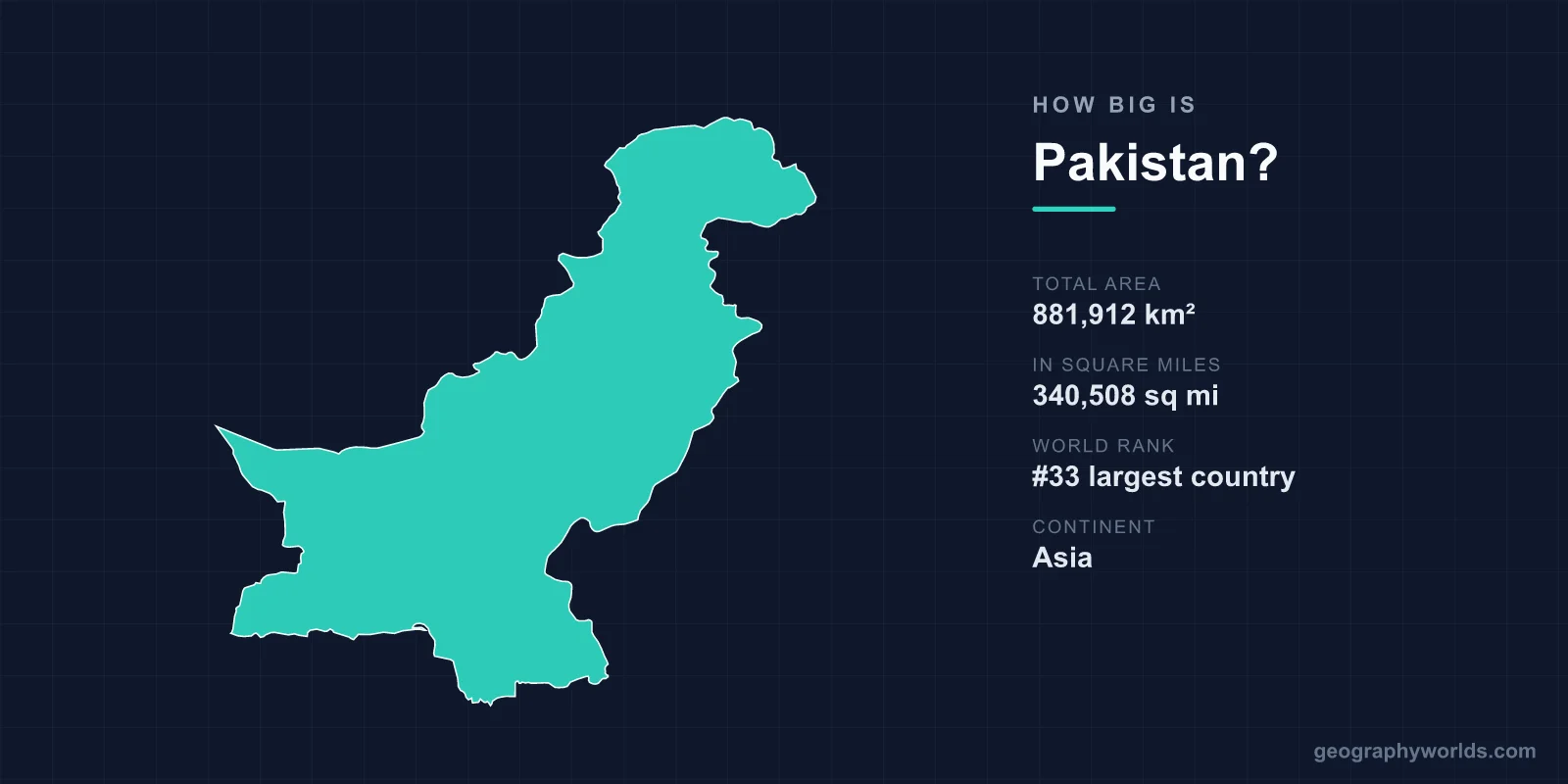
Pakistan covers 881,912 km², or 340,508 square miles, which makes it the 33rd largest country in the world. That is bigger than France and Germany combined, roughly twice the size of Sweden, and about the same as Texas and Oklahoma together. It is also a figure that comes with an asterisk, because whether you accept it depends on a territorial dispute that has been running since 1947.
Why You Will See Two Different Numbers
Reference sources give Pakistan's area as either roughly 796,095 km² or roughly 881,913 km², and the gap between them is about 85,800 km² — an area the size of Austria.
The smaller figure covers the four provinces plus Islamabad: Punjab, Sindh, Khyber Pakhtunkhwa and Balochistan. The larger figure adds the territories Pakistan administers in the former princely state of Jammu and Kashmir — Azad Jammu and Kashmir, and Gilgit-Baltistan — which India claims in full.
Neither number is wrong so much as differently scoped. This article uses 881,912 km², the inclusive figure, because that is what the country actually governs, and because excluding Gilgit-Baltistan would remove K2 and most of Pakistan's high mountains from a discussion of its size.
What That Size Looks Like on the Ground
Pakistan stretches roughly 1,875 kilometres from the Arabian Sea coast in the south to the Chinese border in the north, and around 1,000 kilometres at its widest from east to west. Driving from Karachi to Gilgit on the Karakoram Highway is a journey of more than 1,500 kilometres and takes days rather than hours.
The shape matters as much as the total. Pakistan is essentially the basin of one river system, the Indus, flanked by mountains in the north and west and desert in the east and south. The habitable, cultivated core is a strip along the Indus and its tributaries, which is why a country of that area concentrates its population so tightly.
A Very Large Country That Feels Crowded
With around 259 million people in 881,912 km², Pakistan's population density is roughly 290 people per square kilometre — several times the world average, and comparable to Germany or the United Kingdom despite Pakistan being more than three times the size of either.
The national average also conceals an extreme distribution. Punjab, which is about a quarter of the land area, holds over half the population. Balochistan is the largest province at around 347,000 km², roughly 44 per cent of the country excluding the disputed territories, and holds well under 10 per cent of its people — a density comparable to sparsely settled parts of Africa.
Balochistan Alone Is Bigger Than Most Countries
If Balochistan were independent it would rank around 35th in the world by area, ahead of Germany, Japan, Vietnam and Italy. Its capital Quetta is closer to Kandahar in Afghanistan than to Islamabad.
The province is mostly arid plateau and mountain, with the Makran coast along the Arabian Sea and the Chagai hills where Pakistan conducted its nuclear tests in 1998 precisely because the area was empty enough. Gwadar, the deep-water port on its coast developed with Chinese investment, is the southern terminus of the China-Pakistan Economic Corridor.
The Mountains in the North
Gilgit-Baltistan and the northern parts of Khyber Pakhtunkhwa contain a concentration of high mountains matched almost nowhere else. Five of the world's fourteen peaks above 8,000 metres are in Pakistan, including K2 at 8,611 metres, the second-highest mountain on earth.
Three great ranges meet near Gilgit — the Karakoram, the Himalaya and the Hindu Kush — and the junction is marked with a signpost that has become a standard photograph. Outside the polar regions, this area holds some of the largest glaciers in the world: the Siachen runs about 76 kilometres, the Biafo about 67 and the Baltoro about 63, each longer than the entire width of some European countries, and their melt feeds the Indus. Gilgit-Baltistan covers roughly 73,000 km² on its own — larger than Sri Lanka — and it is one of the territories whose status is why the country reports two different area figures.
Comparisons That Actually Help
- France (551,695 km²) and Germany (357,022 km²) combined come to about 909,000 km² — slightly more than Pakistan.
- Texas is roughly 696,000 km², so Pakistan is about a quarter larger.
- Turkey at around 783,562 km² is a little smaller.
- The United Kingdom at around 243,610 km² would fit inside Pakistan more than three and a half times.
- Afghanistan, next door at 652,230 km², is about three-quarters of Pakistan's size with a sixth of its population.
How the Area Came to Be This Shape
Pakistan's boundaries are inherited from British India and from the partition of 1947, and two of them are among the most consequential lines drawn in the twentieth century.
The Durand Line, agreed between British India and Afghanistan in 1893 and running about 2,640 kilometres, defines the western limit. Afghanistan has never formally accepted it, and it cuts through Pashtun territory, which is the root of a century of friction.
The eastern boundary with India was drawn in five weeks in 1947 by a commission under Cyril Radcliffe, a lawyer who had never been to India. The Radcliffe Line partitioned Punjab and Bengal, and the resulting migrations and massacres killed hundreds of thousands and displaced perhaps fifteen million.
The Part That Left
Pakistan was once substantially larger, and in a way that no area table captures. Until 1971 the country included East Pakistan, roughly 147,570 km² on the other side of India, more than 1,500 kilometres away across foreign territory.
East Pakistan held a majority of the country's population. After the 1970 election result was set aside and a military crackdown began, the war of 1971 ended with East Pakistan becoming Bangladesh. Pakistan lost about 15 per cent of its land area and more than half its people in a single year.
Water, and the Limits of the Number
Around 2.8 per cent of Pakistan's surface is inland water, a modest share for a country defined by a river. What matters more is that the Indus rises in Tibet and several of its major tributaries flow in from Indian-administered territory.
The Indus Waters Treaty of 1960, brokered by the World Bank, allocated the three eastern rivers — the Ravi, Beas and Sutlej — to India and the three western ones — the Indus, Jhelum and Chenab — to Pakistan. It has survived several wars, and it is the reason a discussion of Pakistan's size has to include territory it does not own.
The Coast, and What Lies Offshore
Pakistan's Arabian Sea coastline runs about 1,046 kilometres, and its exclusive economic zone covers roughly 240,000 km². In 2015 the United Nations commission on the limits of the continental shelf accepted a Pakistani submission extending its seabed rights beyond the standard 200 nautical miles, adding around 50,000 km² of seabed.
That kind of extension does not change a country's land area, and it never appears in the tables, but it is a reminder that the area figure quoted for any coastal state describes only the part above water.
The Deserts Nobody Counts
Two substantial deserts sit inside Pakistan's area and rarely feature in descriptions of it. The Thar, shared with India, extends into eastern Sindh and covers roughly 200,000 km² across both countries — it is the most densely populated desert in the world, supporting pastoralists at numbers no other arid region sustains.
The Cholistan in southern Punjab, contiguous with the Thar, covers around 26,000 km² and holds the remains of settlements along the dried bed of the Ghaggar-Hakra, a river system that failed several thousand years ago and whose abandonment is bound up with the decline of the Indus Valley civilisation. Fort Derawar stands in it.
Together with the Kharan desert in Balochistan, arid land accounts for a substantial share of the national total. Around 27 per cent of Pakistan is arable, which is high for the region and entirely dependent on the largest contiguous irrigation network in the world — a system of barrages and link canals commanding some 160,000 km² of the Indus plain.
How Long It Takes to Cross
The Karakoram Highway runs about 1,300 kilometres from Hasan Abdal near Islamabad to the Khunjerab Pass on the Chinese border at 4,693 metres, the highest paved international crossing in the world. It took two decades to build and several hundred workers died doing it.
The main north-south artery is the N-5, roughly 1,800 kilometres from Karachi to Peshawar, following the line of the Grand Trunk Road. Pakistan Railways operates around 7,800 route kilometres, almost all of it on the same axis, because the usable country is a corridor rather than a block.
Thirty-Third, With an Asterisk
The short answer is 881,912 km², 33rd in the world, larger than every European country except Russia and Ukraine, and about one-ninth the size of Australia.
The longer answer is that Pakistan is a mid-sized country by area with the fifth-largest population on earth, most of it packed along one river, with an enormous and nearly empty province in the west and a wall of mountains in the north — which is why a single number tells you less about Pakistan than about almost any comparable state. Pakistan in the round is our Pakistan country guide, and the lines that fix this figure at all are set out in our guide to Pakistan's borders.
