
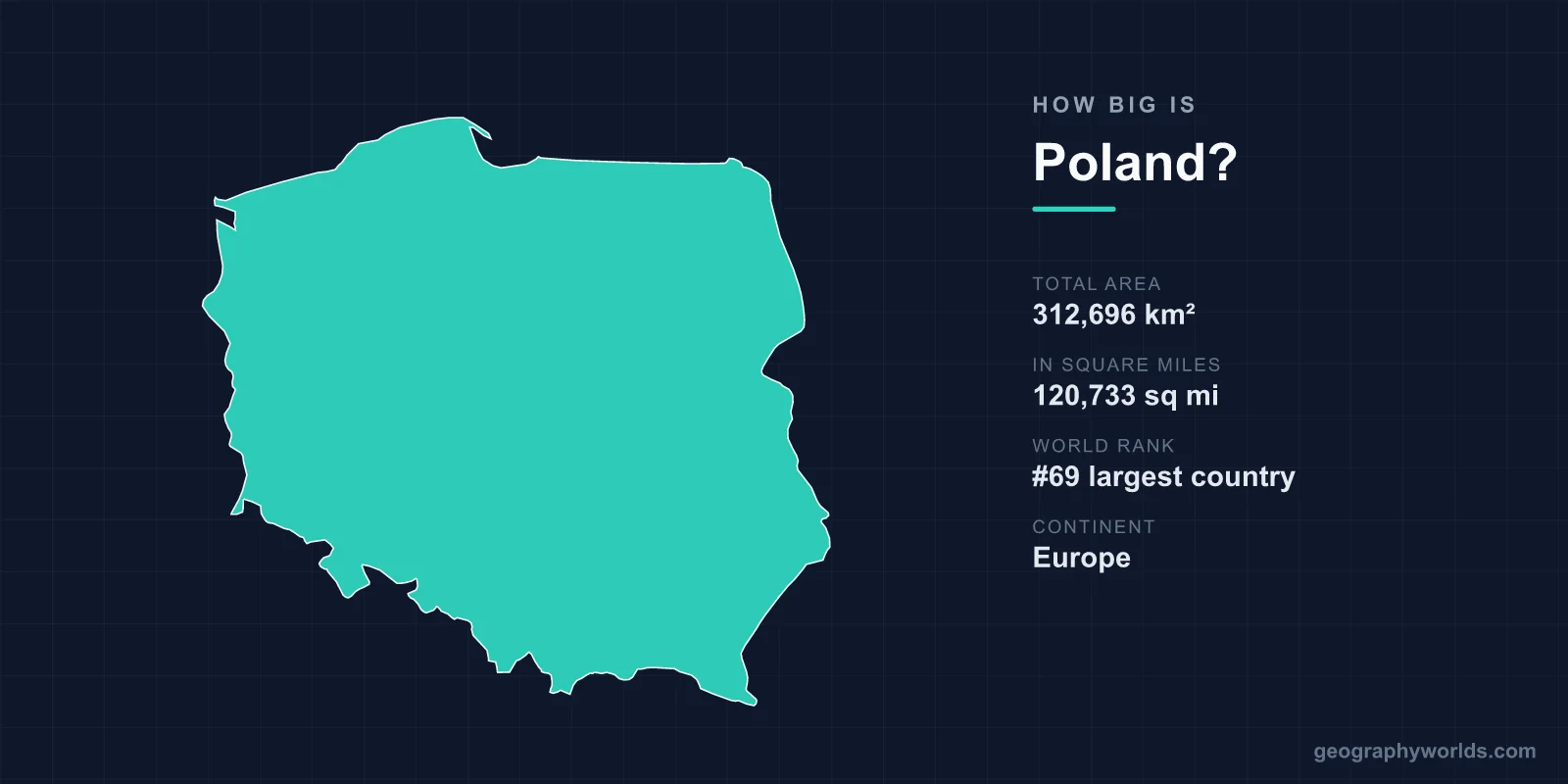
Poland covers 312,696 km², or 120,733 square miles, making it the 69th largest country in the world and the ninth largest in Europe. That is close to the size of New Mexico, slightly smaller than Italy, and about a quarter larger than the United Kingdom. What makes Poland's area genuinely unusual is not the figure but its history: within one lifetime the country was erased from the map entirely and then put back in a different place.
The Country That Moved
Between 1939 and 1945 Poland lost roughly a fifth of its territory and gained a substantial replacement several hundred kilometres to the west. Pre-war Poland covered about 389,000 km². The Soviet Union annexed the eastern half — the Kresy, including Lwów and Wilno, now Lviv in Ukraine and Vilnius in Lithuania — amounting to some 180,000 km².
In compensation, at Yalta and Potsdam, Poland was awarded German territory east of the Oder and Neisse rivers: Silesia, Pomerania, the eastern part of Brandenburg and the southern half of East Prussia, around 100,000 km² described in Polish usage as the Recovered Territories.
The result was a country about a fifth smaller, shifted bodily westward, with a coastline several times longer than before and a population that had been forcibly relocated on an enormous scale. Millions of Germans were expelled westward and millions of Poles moved west from the annexed east, often into houses vacated days earlier.
No other European state of comparable size has had its territory relocated in this way, and it is why Polish cities like Wrocław have German architecture and Polish inhabitants whose grandparents came from what is now Ukraine.
Erased Entirely for 123 Years
Poland's area was zero between 1795 and 1918. The Polish-Lithuanian Commonwealth, which at its seventeenth-century peak covered around a million square kilometres and was among the largest states in Europe, was partitioned three times by Russia, Prussia and Austria, and after the third partition it ceased to exist as a state.
It was restored in 1918 at the end of the First World War, occupied and divided again in 1939, and re-established within its present boundaries after 1945. A country that has been abolished twice tends to regard its borders differently from one that has not.
Ninth in Europe
Within Europe, only Russia, Ukraine, France, Spain, Sweden, Norway, Germany and Finland are larger. Italy, at 301,340 km², is slightly smaller than Poland; Germany, at 357,022 km², is about 14 per cent larger; the United Kingdom at 243,610 km² is about a fifth smaller.
New Mexico, at 314,917 km², is almost identical. Ukraine next door, at 603,548 km², is nearly twice the size — which is worth holding in mind when the two countries are discussed as comparable neighbours, because they are not comparable in area at all.
Flat, and Why That Matters
Poland is among the flattest countries in Europe. The great majority of its area lies below 200 metres, part of the North European Plain that runs unbroken from the Netherlands to the Urals, and the mean elevation is around 173 metres.
Only the southern fringe rises: the Sudetes along the Czech border and the Carpathians along the Slovak one, with the Tatra Mountains reaching 2,499 metres at Rysy, the highest point in Poland.
The flatness is the reason Polish history reads the way it does. There is no defensible natural boundary on the eastern or western approaches — no mountain chain, no wide river running the right way — which is why the country has been invaded across that plain repeatedly, and why the partitions were geographically straightforward for its neighbours.
It is also the reason Poland is agriculturally productive across most of its area, with arable land around 35 per cent of the total and a landscape of large open fields.
The Coast It Acquired
Poland has around 440 kilometres of Baltic coastline today. Between the wars it had a narrow strip — the Polish Corridor — giving access to the sea at Gdynia, which the country built from a fishing village into a major port specifically because Danzig was a free city outside Polish control.
The 1945 settlement gave Poland the whole southern Baltic shore from the German border to the Russian exclave of Kaliningrad, including Szczecin, Gdańsk and the Hel peninsula. Its territorial waters and exclusive economic zone add around 30,000 km² beyond the land area.
Forest, and How Much of It There Is
Around 30 per cent of Poland is forested, a proportion that has risen substantially since 1945 through deliberate afforestation.
The most significant is Białowieża on the Belarusian border, the last substantial remnant of the primeval lowland forest that once covered the European plain, a UNESCO World Heritage site and the home of the largest free-roaming population of European bison. Logging in the protected area brought Poland before the European Court of Justice, which ruled against it in 2018.
Lakes in the North
The northern third of the country was shaped by ice. The Masurian Lake District holds around 2,000 lakes in a landscape of moraines and meltwater channels, and Poland has more lakes than almost any European country apart from Finland and Sweden — something over 7,000 of more than a hectare.
Inland water covers about 2 per cent of the surface. Śniardwy, the largest lake at around 114 km², is shallow enough to be sailed across but not deep; the deepest, Hańcza, reaches 108 metres.
Seven Neighbours
Poland borders seven countries — Germany, the Czech Republic, Slovakia, Ukraine, Belarus, Lithuania and Russia — which is a high number for a state of its size and a direct consequence of sitting in the middle of the plain.
The Russian border is with Kaliningrad, the exclave separated from Russia proper, and the Lithuanian border is the Suwałki Gap, a stretch of about 65 kilometres between Kaliningrad and Belarus that is the only land connection between the Baltic states and the rest of NATO. It is among the most analysed pieces of terrain in European defence planning.
The Rivers Run North
Poland's drainage is almost entirely to the Baltic, through two river systems. The Vistula, at 1,047 kilometres the longest river entirely within Poland, rises in the Carpathians and passes Kraków, Warsaw and Toruń before reaching the sea near Gdańsk. The Oder forms much of the German border.
The Vistula basin covers over half the country. Because the rivers flow north across the plain rather than along it, they have historically been highways rather than barriers, and the grain trade down the Vistula to Gdańsk was the economic basis of the Commonwealth.
Where the People Are, and How Many
Poland has around 37 to 38 million people, giving a density of roughly 120 per square kilometre — moderate by European standards, well below Germany or the United Kingdom and above France or Spain.
The distribution follows the industrial geography. Upper Silesia around Katowice is the densest region, a conurbation built on coal, with population densities several times the national average. Warsaw, Kraków, Łódź, Wrocław and Poznań form the other concentrations, while the north-east — Podlaskie and Warmia-Masuria — is among the emptiest parts of the European Union.
That north-eastern emptiness is partly a consequence of the twentieth century. These were the areas most thoroughly depopulated by war, expulsion and border change, and they never recovered the density they had in 1939.
Sixteen Voivodeships
Poland is divided into 16 voivodeships, a term of office-holding that predates the modern state by centuries, and the current arrangement dates only from a 1999 reform that replaced 49 smaller units.
The largest, Masovian around Warsaw, covers about 35,559 km² — larger than Belgium. The smallest, Opole, is around 9,412 km². Below them sit powiats and gminas, and the whole structure was redesigned to fit European Union regional funding categories, which is an unusually direct case of external policy reshaping how a country divides its territory.
A Sea Border, and an Exclave Next Door
Poland's maritime boundary is more consequential than its length suggests. Its exclusive economic zone in the Baltic covers roughly 30,000 km², and the Baltic is shallow, enclosed and shared among nine states, which makes every delimitation a negotiation rather than a formality.
The Vistula Lagoon at the north-eastern corner is divided with Russia, and until recently the only navigable exit ran through Russian waters at the Strait of Baltiysk — meaning Polish vessels reaching the port of Elbląg needed Russian permission. Poland cut a canal across the Vistula Spit, opened in 2022, specifically to remove that dependence: a little over a kilometre of channel dug to make a domestic route out of an international one.
Beyond the spit lies Kaliningrad, Russian territory of about 15,100 km² separated from Russia proper, bordering Poland and Lithuania. It is the reason Poland's north-eastern frontier is a NATO external border and why the Suwałki Gap is studied as closely as it is.
Eighty Years Old, and Several Hundred Kilometres West
312,696 km², 69th in the world, ninth in Europe, flat, forested in patches, lake-strewn in the north and mountainous only along its southern rim.
The number is unremarkable. What is remarkable is that the shape it describes is barely eighty years old and sits several hundred kilometres west of where the same country was in 1938. Poland in the round is our Poland country guide, and the water it acquired a long shore on in 1945 is covered in our Baltic Sea guide.
