
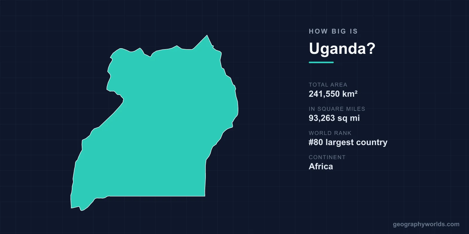
Uganda covers 241,550 km², or 93,263 square miles, making it the 80th largest country in the world. That is almost exactly the size of the United Kingdom, a little smaller than Oregon, and about two-thirds the size of Germany. The more interesting figure is that roughly a fifth of that total is water — one of the highest proportions of any country on earth.
The Water Share
Standard references give Uganda a total area of about 241,550 km², of which around 41,000 km² is water and about 200,520 km² is land. That puts water at roughly 17 to 18 per cent of the total.
Very few countries come close. Most of it is Uganda's share of Lake Victoria — the largest tropical lake in the world and the second-largest freshwater lake by surface area anywhere, shared with Tanzania and Kenya. Uganda holds around 45 per cent of its surface, some 31,000 km².
Add Lake Kyoga in the centre, Lake Albert and Lake Edward on the Congolese border, Lake George, and extensive permanent wetland, and the reason Winston Churchill called Uganda the pearl of Africa becomes partly hydrological.
What 241,550 km² Looks Like
- The United Kingdom (243,610 km²) is within one per cent of the same size.
- Oregon (254,799 km²) is slightly larger.
- Ghana (238,533 km²) is almost identical.
- Kenya (580,367 km²), next door, is about 2.4 times larger.
- Lake Victoria as a whole (about 68,800 km²) is roughly the size of Ireland, and Uganda's share alone is larger than Belgium.
Where the Nile Starts
The outflow of Lake Victoria at Jinja is conventionally described as the source of the White Nile, and the river leaves Uganda in the north after passing through Lake Kyoga and Lake Albert.
This is a question with a long history. The Nile's ultimate headwaters lie further upstream in the Kagera system in Rwanda and Burundi, and expeditions have periodically relocated the most distant source. John Hanning Speke reached the Jinja outflow in 1862 and declared the problem solved, which it was not, though the lake outlet remains the conventional answer.
Murchison Falls, where the Nile forces through a gap about seven metres wide and drops some 43 metres, sits inside Uganda's largest national park and is the most dramatic expression of the country's water.
Small Country, Large Rift
The western border runs along the Albertine Rift, the western branch of the East African Rift, and the terrain there is nothing like the plateau that covers most of the country.
The Rwenzori Mountains, the Mountains of the Moon of classical geography, rise to Margherita Peak at 5,109 metres on the Congolese border — the third-highest point in Africa and one of very few equatorial locations with permanent ice. Those glaciers have lost the large majority of their extent since the early twentieth century and are expected to disappear within decades.
In the east, on the Kenyan border, Mount Elgon is an enormous extinct volcano with one of the largest calderas in the world. Between them, most of Uganda sits on a plateau between 900 and 1,500 metres, which is why a country on the equator has a temperate climate.
The Density Problem
Uganda's population is around 53 million in 200,520 km² of land, giving a density of roughly 260 people per square kilometre of land area — high for Africa and comparable to Germany.
The growth rate is the more striking figure. Uganda has one of the youngest populations in the world, with a median age around 16, and the population has roughly tripled since 1990. A country the size of the UK is adding people at a rate that will test the amount of land available.
Density is also very unevenly distributed: the fertile crescent around Lake Victoria and the slopes of Elgon and the Rwenzoris are intensively farmed, while the drier Karamoja region in the north-east is thinly settled pastoral country.
Landlocked, and What That Costs
Uganda has no coastline. Its imports and exports travel the Northern Corridor — road and rail from Mombasa in Kenya, roughly 1,150 kilometres to Kampala — or the Central Corridor through Tanzania to Dar es Salaam.
Transport costs are a substantial share of the delivered price of goods, and Ugandan politics has been sensitive to Kenyan infrastructure decisions and to disruption on the corridor for decades. The crude oil discovered in the Albertine Rift in 2006 is to be exported through a heated pipeline running roughly 1,440 kilometres across Tanzania to Tanga — a project whose length is a direct function of being landlocked.
Borders Drawn Around a Kingdom
Uganda's shape was assembled by British administrators around the kingdom of Buganda, which gave the country its name. The 1894 protectorate was extended to absorb Bunyoro, Toro, Ankole and Busoga, and then northern and eastern districts whose peoples had nothing in common with the Bantu kingdoms of the south.
The boundary with Kenya was adjusted in 1926, transferring a large area of the east, including Turkana country, to Kenya — which is how Uganda lost its shortest potential route toward the sea and why the Ilemi Triangle dispute involves Kenya and South Sudan rather than Uganda.
The north-south division the protectorate created — southern kingdoms with the administration and the cash crops, northern districts supplying soldiers — runs directly into the politics of Idi Amin, Milton Obote and the Lord's Resistance Army.
Protected Area, and What Lives in It
Around 10 per cent of Uganda is under some form of protection. Bwindi Impenetrable Forest in the south-west, a UNESCO World Heritage site covering only about 331 km², holds roughly half the world's remaining mountain gorillas, with the rest in the adjacent Virunga volcanoes shared with Rwanda and the DRC.
The economic arithmetic there is unusual: a protected area smaller than the Isle of Man generates a significant share of national tourism revenue, because gorilla trekking permits are among the most expensive wildlife experiences sold anywhere.
Queen Elizabeth and Murchison Falls national parks are far larger, and Kidepo Valley in the remote north-east is among the least visited and most intact savanna parks in Africa.
A Country That Hosts More Than Its Size Suggests
Uganda hosts one of the largest refugee populations in the world — well over a million people, principally from South Sudan, the Democratic Republic of the Congo and Burundi.
Its policy is unusually open: refugees are allocated plots of land, permitted to work and move freely, and settlements such as Bidi Bidi in the north-west grew to become among the largest refugee sites anywhere, with populations exceeding that of most Ugandan towns.
Allocating land to arrivals is only possible because there is land to allocate, and the pressure on that policy rises as the host population grows.
The Equator, and a Temperate Country on It
The equator crosses southern Uganda near Kayabwe, where a painted line and two concrete circles mark it for photographs. The country straddles it, extending roughly from 1.5 degrees south to 4 degrees north.
What that would normally imply — heat, humidity, rainforest — is largely absent, because most of Uganda sits on a plateau between 900 and 1,500 metres. Kampala's average temperatures are in the mid-twenties Celsius year round, and the highlands of the south-west are cool enough for tea and temperate vegetables.
The altitude is also why Uganda is agriculturally productive across most of its land area rather than in a few belts. Around 71 per cent of the land is agricultural, one of the highest shares in Africa, and the country grows enough of a surplus to export to its neighbours even while hosting more than a million refugees.
Districts That Keep Multiplying
An unusual feature of how Uganda organises its territory is that the number of administrative units keeps rising. There were 33 districts in 1990; by the 2020s there were well over 130.
Each new district brings a headquarters, a local government, salaried positions and a parliamentary seat, which is why creating them is politically attractive and fiscally expensive. Critics describe it as patronage; the government presents it as bringing services closer to people.
The practical result is that a country the size of Britain is divided into more than twice as many top-level local authorities as Britain has ceremonial counties, several of them covering a few hundred square kilometres.
Oil Under the Rift
The most consequential thing found in Uganda's territory this century lies beneath the Albertine Rift on the Congolese border. Commercial quantities of oil were confirmed in 2006 in the Lake Albert basin, with recoverable reserves estimated in the billions of barrels.
Turning that into revenue has taken the better part of two decades, because the fields are landlocked, the crude is waxy and must be kept heated to flow, and the nearest suitable port is on the Indian Ocean. The solution is the East African Crude Oil Pipeline, roughly 1,440 kilometres of heated, buried pipe running from Kabaale in western Uganda across Tanzania to Tanga — planned as the longest heated crude pipeline in the world.
Some of the fields sit under Murchison Falls National Park, and the pipeline route crosses the Lake Victoria basin, which has made the project a focus of sustained environmental and human rights objection, including a resolution of the European Parliament and litigation in the East African Court of Justice. It is the clearest case of Uganda's landlocked geography setting the terms of its economy: the oil is the easy part, and the 1,440 kilometres to a ship are the hard one.
Subtract the Water and the Picture Changes
241,550 km², 80th in the world, the size of Britain, with a fifth of it under water and a population heading rapidly upward.
The water share is the detail that changes the picture: Uganda's land area is closer to 200,000 km², which moves it down the table but explains why a country of that size sits at the centre of the Nile basin's politics and holds the second-largest freshwater lake on earth in its southern corner. For the country beyond its dimensions, see our Uganda country guide; our Nile river guide follows the water that leaves it at Jinja.
