
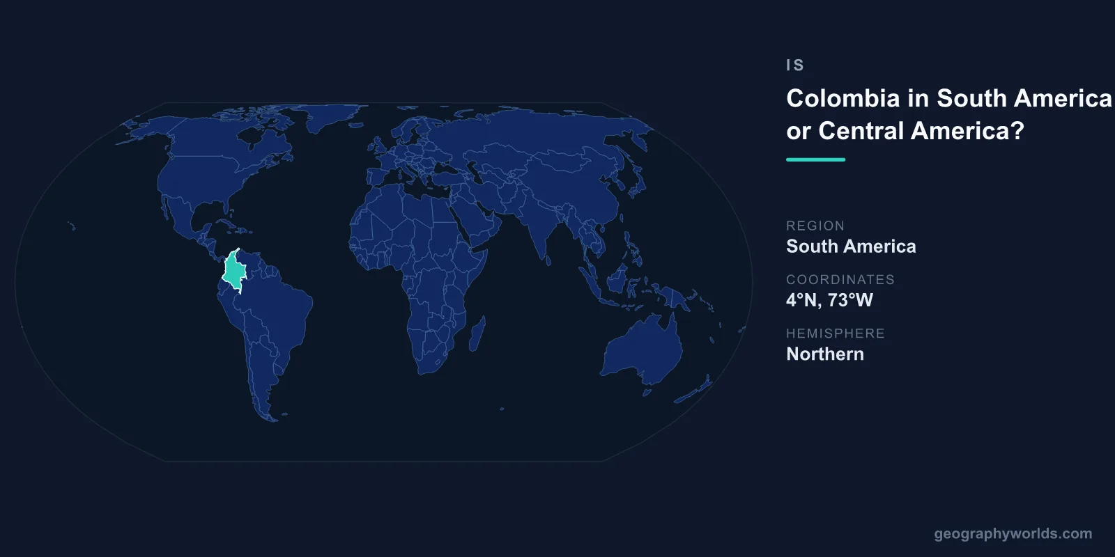
Colombia is in South America, not Central America. It is the northwesternmost country on the South American continent and the only one with coastlines on both the Pacific Ocean and the Caribbean Sea. Although Colombia shares a land border with Panama, a Central American nation, that border is precisely where the continental boundary lies. Everything south and east of it, including all of Colombia, belongs to South America.
Where Exactly Is Colombia Located?
Colombia occupies the top-left shoulder of South America, straddling the equator in the country's south while its northern coast faces the Caribbean. It covers roughly 1,141,748 square kilometres, making it the fourth-largest country in South America after Brazil, Argentina, and Peru. Its capital, Bogotá, sits high in the Andes at around 2,640 metres above sea level, and the country is home to approximately 52 million people, the third-most populous in the region.
Colombia borders five countries: Panama to the northwest, Venezuela and Brazil to the east, and Peru and Ecuador to the south. Of these, only Panama lies in Central America, while the rest are unmistakably South American. This combination of neighbours places Colombia at the very seam where the two regions meet.
Why People Confuse Colombia With Central America
The confusion is understandable. Colombia connects to Panama through the dense, roadless jungle of the Darién Gap, and the Isthmus of Panama physically links South America to the Central American land bridge. Because the two are joined, it is easy to imagine the boundary blurring. In fact, Panama was part of Colombia until 1903, when it separated to become an independent nation, so for much of the nineteenth century Colombian territory genuinely did extend into what we now call Central America.
Colombia's tropical climate, Caribbean beaches, salsa and cumbia music, and warm coastal culture also feel similar to Central American and Caribbean countries, reinforcing the mental association. Yet despite these cultural overlaps, the geographic classification is clear and settled: Colombia is a South American country.
The Continental Boundary Between North and South America
Geographers place the dividing line between North and South America at the Colombia–Panama border, along the narrow neck of the Isthmus of Panama. Central America is generally treated as the southern portion of North America, comprising the seven countries from Guatemala down to Panama. This means the boundary doing the dividing is the same one that separates Colombia from its only Central American neighbour.
Because the line runs through the Darién, Colombia begins exactly where South America begins. There is no overlap and no ambiguity in formal geography. The Pan-American Highway, which runs almost continuously from Alaska to southern Chile, is famously broken only at the Darién Gap, a vivid reminder of just how rugged and decisive this continental threshold is.
Colombia's Geography Within South America
Once inside Colombia, the landscape is dramatically South American. The Andes Mountains enter from the south and split into three parallel ranges, or cordilleras, creating high plateaus and fertile valleys where most Colombians live. To the east stretch the vast Llanos grasslands that roll toward Venezuela, and the southeastern corner dissolves into dense Amazon rainforest shared with Brazil and Peru.
Colombia is also one of the most biodiverse nations on Earth, ranking second only to Brazil. It hosts more than 1,900 recorded bird species, the highest count of any country, along with thousands of orchids and amphibians. This staggering richness comes from its position spanning equatorial lowlands, two oceans, and towering mountains, a profile that is quintessentially South American rather than Central American.
Key Facts About Colombia
- Continent: South America (northwestern corner)
- Area: about 1,141,748 km², fourth-largest in South America
- Capital: Bogotá
- Population: roughly 52 million
- Official language: Spanish
- Coastlines: both the Pacific Ocean and the Caribbean Sea
- Neighbours: Panama, Venezuela, Brazil, Peru, Ecuador
For a deeper look at the nation's regions, history, and culture, see our full colombia country guide.
Frequently Asked Questions
Is Colombia part of Central America at all?
No. Colombia is entirely within South America. The only Central American country it touches is Panama, and the border between them marks the official boundary between the two regions. No part of Colombia is classified as Central American.
Is Colombia in North America or South America?
Colombia is in South America. Central America is considered the southern part of North America, so because Colombia sits just below the Panama boundary, it falls firmly on the South American side of the divide.
Does Colombia border the Caribbean?
Yes. Colombia has a long Caribbean coastline in the north, home to cities such as Cartagena and Barranquilla, as well as a separate Pacific coastline in the west. It is the only South American country bordering both the Pacific and the Caribbean.
Why was Panama once part of Colombia?
Panama belonged to Colombia throughout the 1800s, but it declared independence in 1903 with support from the United States, which sought to build the Panama Canal. Since then, the Colombia–Panama line has served as the recognised continental boundary.
