
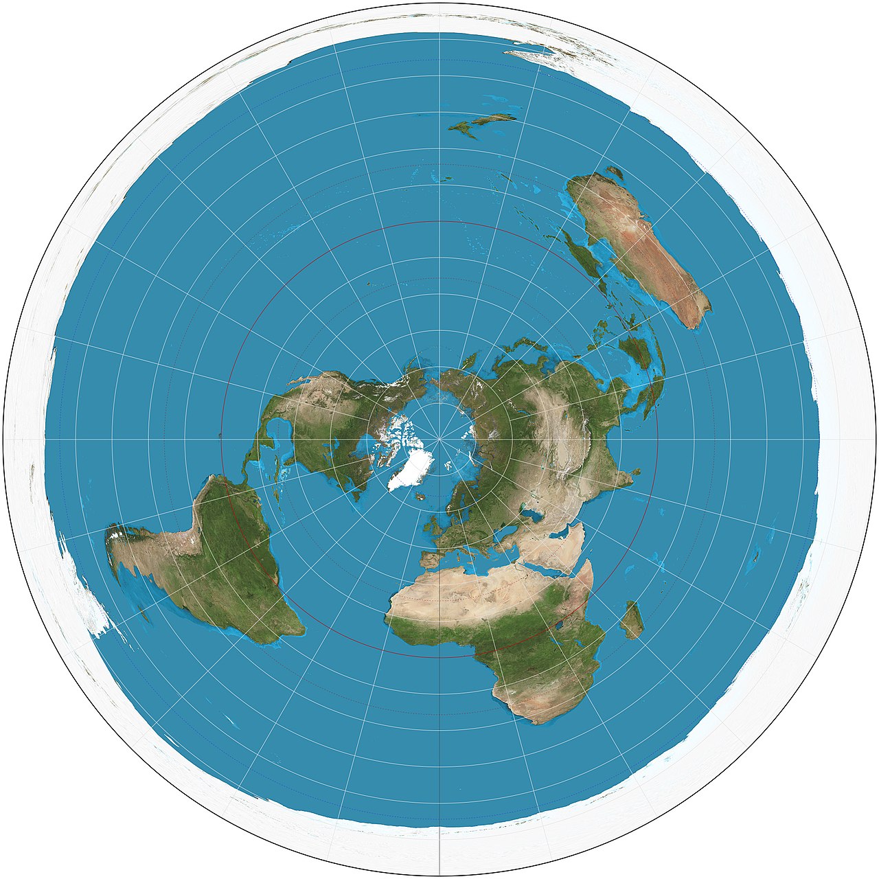
Latitude and longitude for kids: Latitude and longitude are imaginary lines that create a grid over the entire Earth, like the lines on graph paper. Latitude lines run east-west and measure how far north or south you are from the equator. Longitude lines run north-south and measure how far east or west you are from the Prime Meridian. Together, they create an "address" for every spot on Earth!
Introduction
Imagine you are playing a game of Battleship, where you use letters and numbers to find ships on a grid. Latitude and longitude work the same way — except the grid covers the entire planet! Every single spot on Earth has its own unique coordinates.
Let's learn how to find any place on the planet!

Latitude vs. Longitude
- Latitude: Runs east to west (like the rungs of a ladder). Measured in degrees from 0° at the equator to 90° at the poles. Think: "Lat" sounds like "flat" — flat lines going sideways.
- Longitude: Runs north to south (from pole to pole). Measured in degrees from 0° at the Prime Meridian to 180° east or west. Think: "Long" lines are "long" — they go from top to bottom.
- Coordinates: Written as (latitude, longitude). For example, New York City is at about (40.7°N, 74.0°W).
Important Lines to Know
The equator is the most important latitude line at 0°. It divides the Earth into the Northern and Southern Hemispheres. The Tropic of Cancer (23.5°N) and Tropic of Capricorn (23.5°S) mark the boundaries of the tropical zone.
The Prime Meridian is the most important longitude line at 0°. It runs through Greenwich, London. The International Date Line is at about 180° — when you cross it, the date changes by one day!
Try This!
Find the coordinates of your home, school, or a favorite place using an online map. Then give the coordinates to a friend and see if they can figure out where it is! You can also try this: what is at coordinates (0°, 0°)? Look it up — it is a spot in the ocean off the coast of Africa called "Null Island"!
Cool Facts
- There are 360 degrees of longitude and 180 degrees of latitude
- One degree of latitude equals about 111 km on the ground
- GPS uses latitude and longitude to pinpoint your location within a few meters
- The equator is about 40,075 km around
- The concept of latitude and longitude was first developed by ancient Greek astronomers over 2,000 years ago
Did You Know?
- "Null Island" (0°N, 0°E) is in the Gulf of Guinea in the Atlantic Ocean — there is no actual island there!
- Lines of longitude all meet at the North and South Poles — so at the poles, you are at every longitude at once!
- The GPS system uses at least 4 satellites to calculate your exact latitude, longitude, and altitude
Wrap Up
Latitude and longitude give every place on Earth a unique address. Whether you are a pilot flying a plane, a sailor crossing the ocean, or just using your phone to find a restaurant, these invisible lines help you navigate our world.
Test What You Learned!
Think you remember everything? Try our fun geography games and quizzes!
Play Geography Games →