
Introduction
Rivers have been used as boundaries between political entities for as long as human civilizations have existed. From the Rhine separating France and Germany to the Rio Grande dividing the United States and Mexico, river borders are among the most common and intuitive types of international boundaries. Approximately one-quarter of the world's international borders follow rivers for at least part of their length.
However, river borders come with unique challenges. Rivers shift course over time, creating disputes about which side owns newly formed land. They require shared management for navigation, fishing, and water use. And the question of exactly where in a river the border lies — the center, the deepest channel, or one bank — has generated centuries of diplomatic and legal debate.
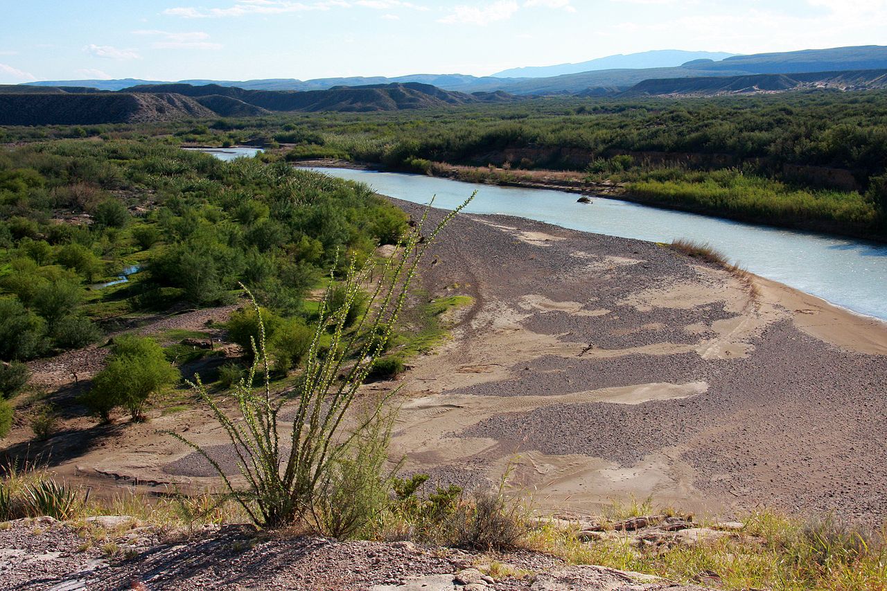
Geography & Route
- Prevalence: Approximately 25% of international borders follow rivers
- Longest River Border: Amur River (Russia-China) — approximately 1,600 km
- Most River Borders: The Danube touches or borders 10 countries
- Notable Examples: Rhine, Danube, Mekong, Rio Grande, Congo, Zambezi
River borders are found on every inhabited continent, from the tiny streams that separate European micro-states to the vast waterways that divide major nations. The Amazon, Congo, and Mekong Rivers all serve as international boundaries for portions of their length, while the Danube River touches or forms boundaries for more countries than any other river in the world.
The geographic logic of river borders is straightforward: rivers are visible, difficult to cross, and provide natural defensive barriers. However, not all rivers make equally good borders. Broad, deep rivers like the Rhine and the Danube create clear divisions, while shallow, braided rivers that spread across wide floodplains create ambiguity about exactly where the boundary lies.
History & Formation
- Ancient Practice: Romans used the Rhine and Danube as imperial frontiers
- Thalweg Doctrine: 18th-century principle placing the border at the deepest channel
- Treaty of Westphalia: 1648 — established principles for river boundaries in Europe
- Modern Law: UNCLOS and bilateral treaties govern river borders today
The use of rivers as borders dates to antiquity. The Roman Empire used the Rhine and Danube Rivers as its northern frontier for centuries, and the Euphrates served as a boundary between Roman and Parthian territories. These river frontiers were not chosen arbitrarily — they provided natural defensive barriers and clear lines of demarcation in an era without precise surveying technology.
The thalweg doctrine, developed in 18th-century European diplomacy, established that river borders should follow the deepest navigable channel rather than the geographic center of the river. This principle, which was codified in numerous bilateral treaties, ensured that both nations sharing a river border had access to the main navigation channel. The thalweg principle remains the default rule in international law for river boundaries.
Key Features
- Rhine River: Historically divided France and Germany
- Danube River: Touches 10 countries, borders several
- Mekong River: Borders between Laos, Thailand, Myanmar, and Cambodia
- Congo River: Forms most of the DRC-Republic of Congo border
The Rhine River has been one of Europe's most significant political boundaries for over two millennia. It currently forms portions of the borders between Switzerland and Liechtenstein, Switzerland and Austria, Switzerland and Germany, and France and Germany. Control of the Rhine was a central issue in European wars for centuries, and its status as a free international waterway was established by the Congress of Vienna in 1815.
The Mekong River serves as the border between Laos and Thailand for approximately 850 kilometers, creating one of Southeast Asia's most significant natural boundaries. The river also touches or borders Myanmar, China, Cambodia, and Vietnam. Dam construction on the upper Mekong in China has created significant tensions with downstream nations, illustrating how river borders create shared resource challenges that require diplomatic management.
Political Significance
- Shared Resource: River borders require cooperation for water management
- Shifting Channels: Rivers that change course can alter international boundaries
- Navigation Rights: International law generally guarantees freedom of navigation
- Environmental Issues: Pollution and damming affect both sides of river borders
River borders create unique political challenges because they involve shared resources. When a river serves as an international boundary, both nations must cooperate on water allocation, flood management, pollution control, and navigation rights. The International Court of Justice has repeatedly addressed disputes over shared river resources, establishing principles of equitable and reasonable utilization.
The shifting nature of rivers poses a particular challenge for border maintenance. When a river changes course gradually through erosion and deposition (accretion), the border generally moves with it. But when a river suddenly cuts a new channel (avulsion), the border typically stays in the old channel. This distinction has generated numerous disputes, including the Chamizal dispute between the US and Mexico along the Rio Grande.
Modern Day
- Dam Construction: Upstream dams affecting downstream border nations
- Climate Change: Changing river flows altering border landscapes
- Transboundary Agreements: Hundreds of treaties governing shared rivers
- Bridge Connections: Cross-border bridges facilitating trade and travel
Dam construction on shared rivers has become one of the most contentious issues in modern border politics. Ethiopia's Grand Ethiopian Renaissance Dam on the Blue Nile has generated intense opposition from downstream Egypt and Sudan, while Chinese dams on the upper Mekong have reduced water flows to downstream nations that share the river as a border. These conflicts are likely to intensify as water scarcity increases with climate change and growing populations.
Despite these challenges, river borders also provide opportunities for cooperation. Cross-border bridges, jointly managed hydroelectric projects, and shared navigation authorities demonstrate that rivers can bring nations together as well as divide them. The Rhine River Commission, one of the oldest international organizations in the world (established 1815), has successfully managed the river for navigation, environmental protection, and flood control for over two centuries.
Key Facts
- Approximately 25% of the world's international borders follow rivers for at least part of their length
- The thalweg doctrine places river borders at the deepest navigable channel rather than the geographic center
- The Amur River forms the longest river border, approximately 1,600 km between Russia and China
- The Danube touches or borders more countries (10) than any other river in the world
- River borders create unique challenges including shifting channels, shared resources, and navigation rights
Fun Facts
- When the Mississippi River shifted course in 1876, it moved the town of Kaskaskia, Illinois, to the western (Missouri) side of the river, creating an Illinois enclave accessible only from Missouri
- The Thalweg Doctrine gets its name from the German word for "valley path," referring to the deepest channel
- A small island in the Bidassoa River between France and Spain, called Pheasant Island, alternates sovereignty every six months — France governs it from February to July, Spain from August to January
- The Congo River is so wide in places that people on opposite banks cannot see each other, making it one of the most effective natural borders in the world
Final Thoughts
River borders represent one of humanity's oldest and most intuitive methods of dividing territory, but they come with complexities that geometric lines on a map do not. From the shifting channels of the Rio Grande to the dam-controlled flows of the Mekong, river boundaries require constant cooperation between the nations they divide, making them both barriers and bridges between neighboring peoples.
