
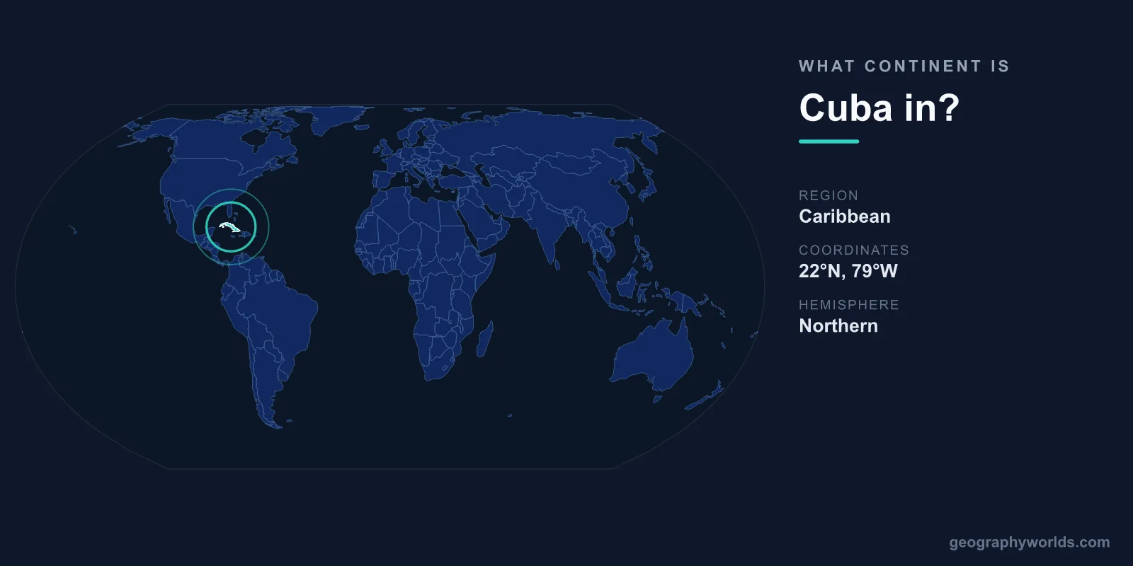
Cuba is in North America. It sits in the Caribbean Sea at the entrance to the Gulf of Mexico, and the seven-continent model classifies the entire Caribbean region as part of the North American continent. Despite being an island nation thousands of kilometres from the North American mainland's interior, Cuba is grouped with North America rather than South America or any standalone region, largely because of its tectonic, geographic, and cultural ties to the Americas.
Why Cuba Belongs to North America
Continents are usually divided using the widely taught seven-continent model: Asia, Africa, North America, South America, Antarctica, Europe, and Australia. Under this system, North America extends far beyond the United States and Canada. It includes Mexico, all of Central America, and the islands of the Caribbean. Because Cuba is a Caribbean island, it falls squarely within North America.
This grouping is reinforced by geology. Most of Cuba sits on the North American tectonic plate, the same plate that carries the United States, Canada, and Mexico. The island's bedrock and underwater shelf connect it geologically to the continental landmass to the north rather than to South America. The United Nations also places Cuba in the "Caribbean" subregion of the Americas, which sits under the broader heading of North America in international statistics.
Where Exactly Is Cuba Located?
Cuba lies at a strategic crossroads where the Atlantic Ocean, the Caribbean Sea, and the Gulf of Mexico converge. This position has shaped its history, economy, and importance to global shipping for centuries.
- Continent: North America
- Region: Caribbean
- Capital: Havana
- Area: 109,884 km²
- Distance to Florida: about 150 km (90 miles) south of Key West
The island stretches roughly 1,250 km from east to west, making it one of the longest islands on Earth, yet it narrows to as little as 31 km across at its slimmest point. Havana, on the northwest coast, is the largest city in the entire Caribbean and serves as the political and cultural heart of the nation.
The Largest Island in the Caribbean
Cuba is not just part of the Caribbean, it dominates it. At nearly 110,000 km², Cuba is the largest island in the Caribbean by both area and population, comfortably bigger than Hispaniola, Jamaica, or Puerto Rico. Its size means it accounts for a substantial share of the region's total land.
The country is more than a single landmass. Surrounding the main island are over 4,000 smaller islands, islets, and coral cays, known locally as cayos. Many of these, such as the resorts of Cayo Coco and Cayo Largo, are popular destinations for diving and snorkelling thanks to their clear water and reefs. The main island itself features the Sierra Maestra mountains in the southeast, gently rolling sugarcane plains through the centre, and mangrove-fringed coasts. Its highest point, Pico Turquino, rises to 1,974 m.
Cuba's Neighbours and Surroundings
Although Cuba shares no land borders, it has several close maritime neighbours that underline its position within North America and the wider Americas:
- United States: roughly 150 km to the north across the Straits of Florida
- The Bahamas: to the north and northeast
- Mexico: about 210 km west across the Yucatán Channel
- Jamaica: around 140 km to the south
- Haiti: approximately 77 km to the east across the Windward Passage
Sitting at the mouth of the Gulf of Mexico, Cuba effectively guards the gateway to one of the world's busiest shipping zones. This strategic location explains why the island has been geopolitically significant for centuries, from the colonial era through the Cold War. The surrounding waters are warm and tropical, and the island lies within the Atlantic hurricane belt, so tropical storms are a regular feature of life there between roughly June and November.
Is Cuba in North or Central America?
This is a common point of confusion. Central America is the narrow land bridge connecting Mexico to South America, made up of countries such as Guatemala, Honduras, Costa Rica, and Panama. Cuba is not part of Central America because it is an island in the Caribbean, not on that isthmus. Instead, Cuba is best described as a Caribbean nation within North America. If you want to explore more about the island's people, economy, and culture, see our cuba country guide.
Frequently Asked Questions
Is Cuba part of North America or South America?
Cuba is part of North America. The continent includes Mexico, Central America, and the Caribbean islands, all of which lie north of South America. Cuba's nearest landmass is the United States, firmly placing it in the north.
Is Cuba a continent itself?
No. Cuba is a country and the largest island in the Caribbean, but it is not a continent. It is part of the North American continent within the standard seven-continent model.
What ocean and sea surround Cuba?
Cuba is surrounded by three major bodies of water: the Caribbean Sea to the south, the Gulf of Mexico to the west, and the Atlantic Ocean to the north and east. The island sits where all three meet.
How far is Cuba from the United States?
The closest point of Cuba lies about 150 km (90 miles) south of Key West, Florida. This short distance across the Straits of Florida has long shaped relations between the two countries.