
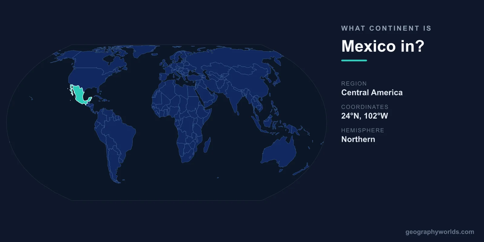
Mexico is located in North America, the world's third-largest continent. While its Spanish language and Latin American culture lead many people to assume otherwise, Mexico is geographically and politically a North American nation, ranking as the third-largest country on the continent behind Canada and the United States.
The confusion is understandable. Mexico shares deep linguistic, historical, and cultural ties with the Spanish-speaking countries of Central and South America, and the umbrella term "Latin America" lumps them all together. But geography and continents are defined by landmass and tectonic position, not by language or heritage. On every standard map and in every major classification system, Mexico sits firmly within North America.
Why Mexico Is Part of North America
Continents are conventionally divided by physical geography. The North American landmass stretches from the Arctic islands of Canada down through the United States and Mexico to the narrow isthmus where it meets Central America. Mexico occupies the southern portion of this continent, just below the United States.
The boundary that separates North America from Central America runs along Mexico's southern frontier, where it borders Guatemala and Belize. South of that line, the land tapers into the slender bridge of Central American countries that eventually connects to South America at Panama. Mexico lies entirely north of this transition, which is why it is counted as North American rather than Central American.
International bodies agree. The United Nations classifies Mexico within North America, and the country is a founding member of the trade bloc formerly known as NAFTA, now the United States–Mexico–Canada Agreement (USMCA), alongside its two northern continental neighbors.
Mexico's Location and Borders
Mexico's position can be summarized with a few key facts:
- Continent: North America
- Region: Southern North America
- Capital: Mexico City
- Area: 1,964,375 km² (13th largest in the world)
The country is bordered by the United States to the north, and by Guatemala and Belize to the south. The Pacific Ocean lies to the west, while the Gulf of Mexico and the Caribbean Sea wash its eastern shores. The U.S.–Mexico border, stretching roughly 3,145 km, is one of the most frequently crossed international boundaries on Earth.
With a coastline of about 9,330 km, Mexico has access to two oceans, giving it strategic importance for trade and a remarkable variety of marine environments. You can learn more in our mexico country guide.
A Landscape of Mountains, Deserts, and Volcanoes
Mexico's terrain is among the most varied in North America. Two great mountain ranges, the Sierra Madre Occidental in the west and the Sierra Madre Oriental in the east, frame a high central plateau where much of the population lives, including Mexico City.
Because Mexico sits on the Pacific Ring of Fire, it is dotted with active volcanoes. The towering Popocatépetl smokes within sight of the capital, and Pico de Orizaba, at 5,636 metres, is the country's highest peak and the third-highest summit in all of North America. From the arid Sonoran and Chihuahuan deserts in the north to the tropical rainforests of Chiapas in the south, Mexico packs an extraordinary range of climates into a single country.
Latin America Versus North America
It helps to distinguish between cultural and geographic labels. "Latin America" is a cultural and linguistic term covering the regions of the Americas where Romance languages—mainly Spanish and Portuguese—are dominant. Mexico belongs to Latin America in this cultural sense.
"North America," by contrast, is a continent defined by landmass. A country can belong to both categories at once, and Mexico does: it is culturally Latin American and geographically North American. The two ideas are not in conflict—they simply describe different things.
Notable Geography Facts
- Mexico City was built atop the ruins of Tenochtitlan, the Aztec capital, on a former lake bed that is slowly subsiding.
- Mexico has 35 UNESCO World Heritage Sites, more than any other country in the Americas.
- The Yucatán Peninsula holds the Chicxulub crater, the impact site of the asteroid linked to the dinosaurs' extinction 66 million years ago.
- Mexico is the most populous Spanish-speaking country in the world.
Frequently Asked Questions
Is Mexico in North or Central America?
Mexico is in North America. The conventional dividing line between North America and Central America follows Mexico's southern border with Guatemala and Belize, placing all of Mexico north of Central America.
Is Mexico part of South America?
No. Mexico is not in South America. The two are separated by the entire Central American isthmus, and South America begins far to the south, beyond Panama and the Darién Gap.
Why do people think Mexico isn't in North America?
The main reason is culture and language. Because Mexico speaks Spanish and is grouped with Latin America, many assume it sits on a different continent. Geographically, though, it has always been part of North America.
What is the capital of Mexico, and where is it located?
The capital is Mexico City, situated on the central plateau in the heart of the country at an elevation of about 2,240 metres, making it one of the highest major capitals in the world.