
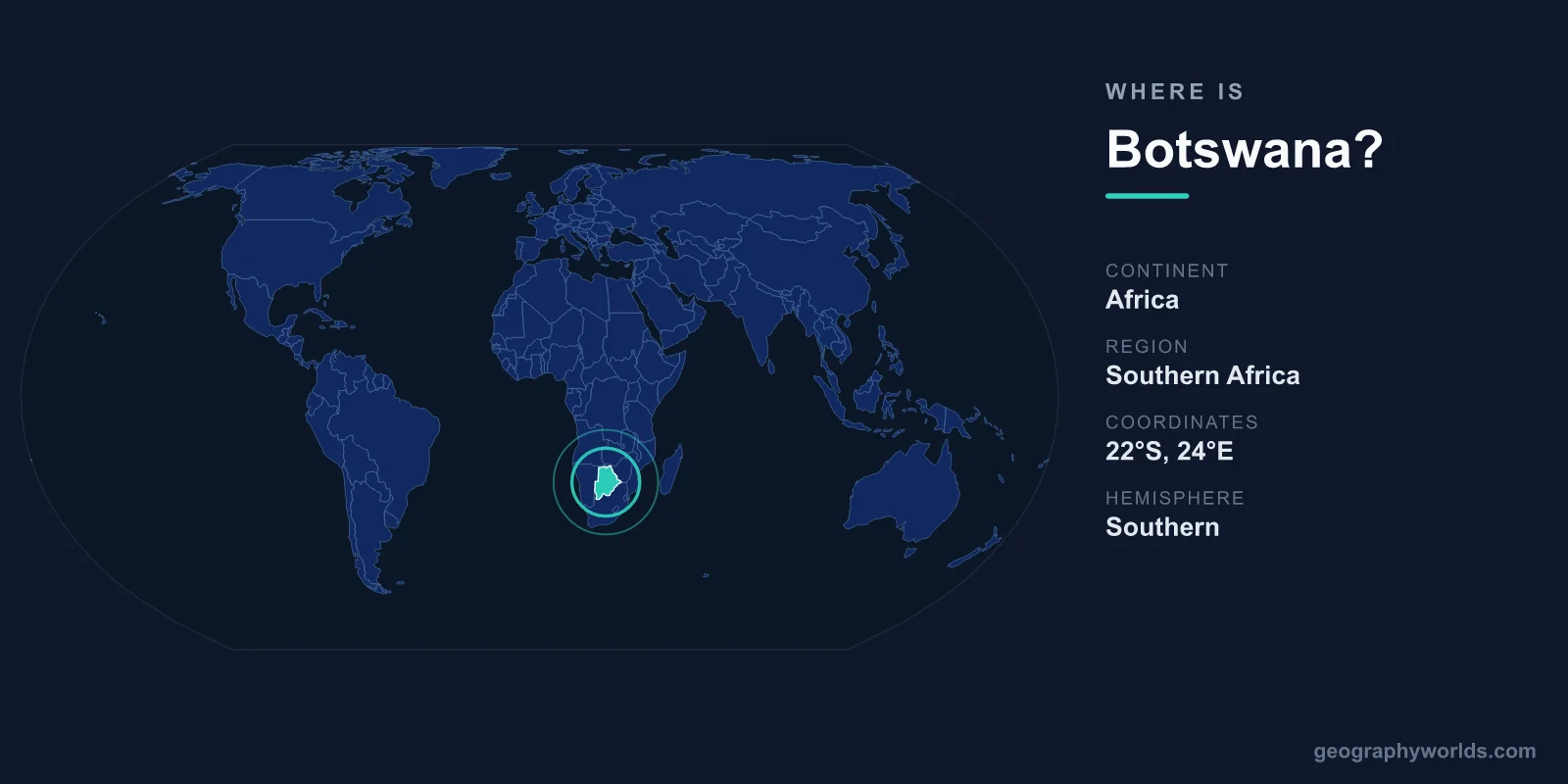
Botswana is a landlocked country in Southern Africa, lying just north of South Africa and covering 581,730 km² of mostly flat terrain dominated by the Kalahari Desert. It sits in the Southern and Eastern Hemispheres, roughly between latitudes 18° and 27° south and longitudes 20° and 30° east, with its capital, Gaborone, in the southeast near the South African border.
Where Botswana Sits on the Map
Botswana occupies the heart of the Southern African plateau, an elevated tableland that averages around 1,000 metres above sea level. Because it has no coastline, it relies on its neighbours for access to the sea, with most overseas trade routed through ports in South Africa and, increasingly, Namibia via the Trans-Kalahari Corridor.
The country is large but sparsely populated. With a land area comparable to France or the US state of Texas, it is home to only about 2.6 million people, making it one of the most thinly settled nations on Earth. The vast majority of Batswana live along the eastern edge of the country, where rainfall is more reliable and the soils support farming, while the central and western Kalahari regions remain near-empty wilderness.
Countries That Border Botswana
Botswana shares land borders with four nations, all of them in Southern Africa:
- South Africa — to the south and southeast, forming Botswana's longest and most economically important border.
- Namibia — to the west and north, including the narrow Caprivi (Zambezi) Strip.
- Zimbabwe — to the northeast.
- Zambia — to the north, meeting Botswana at one of the shortest international borders in the world near Kazungula, where four countries nearly converge at the Zambezi River.
That Kazungula meeting point is a famous geographic curiosity: Botswana, Zambia, Zimbabwe and Namibia all come within a few hundred metres of one another, and the Kazungula Bridge now links Botswana and Zambia directly across the Zambezi.
The Kalahari and the Okavango Delta
Roughly 70 percent of Botswana is covered by the Kalahari Desert, a semi-arid expanse of red sand, scrub and seasonal grasslands that stretches across much of the country's centre and southwest. Despite the name, it is not a barren sand sea; after the summer rains, parts of the Kalahari burst into grassland that supports large herds of wildlife.
In stark contrast sits the Okavango Delta in the northwest — one of the planet's largest inland deltas and a UNESCO World Heritage Site. Here the Okavango River, flowing in from the Angolan highlands, spills across the flat desert and evaporates rather than reaching the sea, creating a vast seasonal wetland of channels, lagoons and islands teeming with elephants, hippos, lions and birds. Nearby lie the Makgadikgadi salt pans, among the largest in the world, the dried-up remnant of an ancient super-lake.
Climate and Landscape
Botswana has a subtropical, semi-arid climate marked by hot summers and cool, dry winters. The rainy season runs roughly from November to March, while winter nights in the Kalahari can drop below freezing. Rainfall is unpredictable and decreases sharply from the wetter northeast toward the arid southwest, which is why settlement and agriculture cluster in the east.
The terrain is overwhelmingly flat to gently rolling, with no major mountain ranges. The country's highest point, Tsodilo Hills in the northwest, rises only modestly above the plateau but is celebrated for thousands of ancient rock paintings. This combination of desert, delta and open savanna makes Botswana one of Africa's premier wildlife and safari destinations. For more on the nation's history, economy and travel highlights, see our botswana country guide.
People and Identity
Gaborone, the capital, anchors the southeast and is the country's political and commercial hub. English and Setswana are the official languages, and most Batswana are Christian. Botswana is a stable parliamentary republic and uses the Botswana pula (BWP) as its currency — the word "pula" means "rain," a fitting national symbol in such a dry land.
Frequently Asked Questions
Is Botswana in Africa?
Yes. Botswana is located in Southern Africa, bordered by South Africa, Namibia, Zimbabwe and Zambia. It lies entirely within the Southern Hemisphere and the Eastern Hemisphere.
What is the capital of Botswana?
The capital is Gaborone, situated in the southeast of the country close to the border with South Africa. It is also Botswana's largest city and its economic centre.
Is Botswana a landlocked country?
Yes. Botswana has no coastline and is surrounded entirely by other countries, so it depends on overland routes through South Africa and Namibia to reach the nearest ocean ports.
How big is Botswana?
Botswana covers about 581,730 km², making it roughly the size of France or Texas. Despite this large area, it has a population of only around 2.6 million, so much of the country remains wild and undeveloped.