
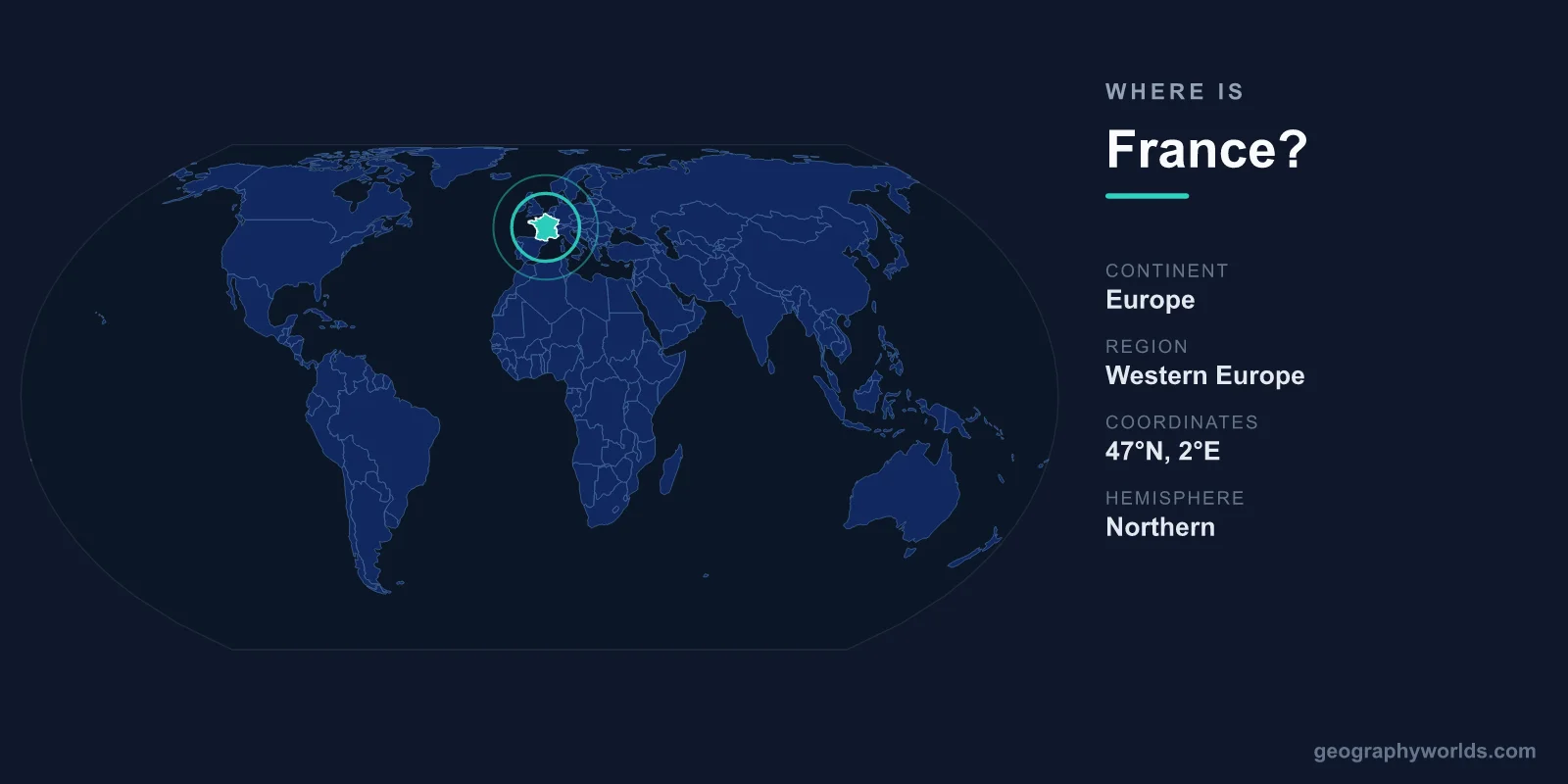
France is located in Western Europe, occupying the western edge of the European continent between roughly 42°N and 51°N latitude and stretching from the Atlantic Ocean in the west to the Alps and the Mediterranean Sea in the southeast. Its capital, Paris, sits in the north of the country, and France covers about 640,679 km², making it the largest nation in Western Europe.
Where France Sits on the Map
France lies in the Northern Hemisphere and, for its mainland, mostly in the Eastern Hemisphere just east of the Prime Meridian. It anchors the western end of the European landmass, with long Atlantic and English Channel coastlines facing the British Isles to the northwest and the Mediterranean Sea forming its warm southern shoreline. The Pyrenees mountains seal off the southwest along the border with Spain, while the Alps and Jura ranges mark the eastern frontier with Italy and Switzerland.
If you are picturing it on a globe, France is the roughly hexagonal country directly south of the United Kingdom across the Channel, west of Germany, and north of Spain. This shape has earned it the nickname "l'Hexagone" among the French themselves. You can practice pinpointing it and its neighbours in our interactive geography games.
Countries That Border France
Mainland France shares land borders with eight countries, placing it at one of Europe's busiest crossroads for trade and travel:
- Belgium and Luxembourg to the northeast
- Germany and Switzerland to the east
- Italy and tiny Monaco to the southeast
- Spain and the micro-state of Andorra to the southwest
These shared frontiers, combined with three sea coasts, have made France a meeting point of northern and Mediterranean Europe for centuries. Goods, languages, and people have flowed across these borders since Roman times, and today the country sits at the heart of the European Union and the Schengen free-movement area.
Coordinates, Coastlines and Hemispheres
The geographic centre of metropolitan France lies near the town of Vesdun in the Cher department, roughly at 46.5°N, 2°E. Paris, the capital and largest city, is located at approximately 48.85°N latitude and 2.35°E longitude. From the northern coast of Normandy to the Mediterranean shore near Marseille, the country spans close to 1,000 kilometres, and a similar distance separates the Atlantic coast of Brittany from the Alpine border in the east.
France's coastline is one of its defining features, touching the North Sea, the English Channel, the Atlantic Ocean, and the Mediterranean. This gives it a remarkable variety of maritime climates within a single nation, from the cool, windswept beaches of the north to the sun-soaked Côte d'Azur in the south.
More Than the Mainland: Overseas France
When people ask where France is, the answer extends well beyond Europe. France retains several overseas regions and territories scattered across the globe, which means the country touches multiple continents and oceans. These include Guadeloupe and Martinique in the Caribbean, French Guiana on the northern coast of South America, Réunion and Mayotte in the Indian Ocean, and French Polynesia and New Caledonia in the Pacific. Because of French Guiana, France even shares a land border with Brazil and Suriname, far from Europe.
This global footprint means France spans an enormous range of latitudes and time zones, more than almost any other nation, even though its European mainland remains its political and population centre.
Landscape and Climate Across the Country
France's position in Western Europe gives it a gentle, temperate climate over much of its territory. The west and north enjoy a mild oceanic climate shaped by Atlantic weather systems, the east leans toward a more continental pattern of warm summers and cold winters, and the south basks in a dry Mediterranean climate. The terrain ranges from the flat plains of the north and the rolling vineyards of regions like Bordeaux and Champagne to the towering peaks of the Alps, home to Mont Blanc, the highest summit in Western Europe at 4,808 metres. To learn more about its regions, history, and culture, see our france country guide.
Frequently Asked Questions
What continent is France on?
Mainland France is on the continent of Europe, specifically in the Western Europe region. However, its overseas territories reach into South America, the Caribbean, and the Indian and Pacific Oceans.
Is France in the Northern or Southern Hemisphere?
Metropolitan France lies entirely in the Northern Hemisphere, north of the Equator, and mostly in the Eastern Hemisphere just east of the Prime Meridian.
What countries are next to France?
France borders eight countries on the European mainland: Belgium, Luxembourg, Germany, Switzerland, Italy, Monaco, Spain, and Andorra. Across the Channel lies the United Kingdom.
What is the capital of France and where is it?
The capital is Paris, located in the north-central part of the country on the River Seine, at roughly 48.85°N, 2.35°E.
