
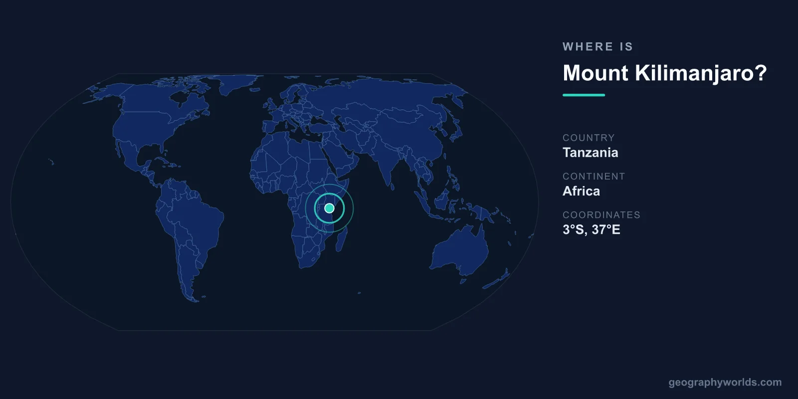
Mount Kilimanjaro is located in northeastern Tanzania, centered at approximately 3°04'S latitude and 37°21'E longitude. Standing at 5,895 meters (19,341 feet), it is Africa's highest peak and the world's tallest free-standing mountain — meaning it rises from surrounding plains rather than being part of a mountain range.
Introduction
The mountain sits about 330 kilometers south of the equator and roughly 280 kilometers from the Indian Ocean coast. It lies near the Kenyan border, and on clear days, Kilimanjaro's snow-capped summit is visible from Nairobi, Kenya's capital, roughly 240 kilometers to the northwest.

Exact Location & Coordinates
- Coordinates: 3°04'S, 37°21'E
- Country: Tanzania (Kilimanjaro Region)
- Nearest Major City: Moshi, Tanzania (~30 km south)
- Distance to Coast: ~280 km from the Indian Ocean
On a world map, Kilimanjaro is located in East Africa, just south of the equator. Find Kenya and Tanzania on a map, then look at the border between them — Kilimanjaro sits on the Tanzanian side, very close to the border. The mountain is so massive that it is often shown on general maps of Africa.
The nearest city is Moshi, a town of about 200,000 people located approximately 30 kilometers south of the summit. Arusha, Tanzania's safari capital, lies about 80 kilometers to the southwest. Kilimanjaro International Airport serves both cities and is the primary gateway for climbers.
Surrounding Countries & Borders
- Tanzania: Kilimanjaro is in Kilimanjaro Region
- Kenya: Border is ~20 km to the north
- Kilimanjaro National Park: 1,688 km² protected area around the mountain
Kilimanjaro lies entirely within Tanzania, though its northern foothills extend nearly to the Kenyan border. The mountain is protected within Kilimanjaro National Park, a UNESCO World Heritage Site established in 1973 that covers 1,688 square kilometers. The park encompasses the entire mountain above the tree line.
The broader region is part of the East African Rift system, which explains the volcanic origin of Kilimanjaro. Other notable East African volcanoes include Mount Kenya (5,199 m) to the north in Kenya, and Mount Meru (4,566 m) just 70 kilometers to the southwest, which offers excellent views of Kilimanjaro.
Geographic Context
- Part Of: East African volcanic chain
- Tectonic Setting: East African Rift System
- Nearest Peak: Mount Meru (4,566 m), ~70 km southwest
Kilimanjaro is a dormant stratovolcano composed of three distinct volcanic cones: Kibo (the highest, with the summit Uhuru Peak), Mawenzi, and Shira. The most recent volcanic activity at Kibo was roughly 200 years ago, and fumaroles still emit gas in the summit crater, indicating the volcano is dormant rather than extinct.
The mountain's enormous bulk rises from the surrounding savanna plains at about 900 meters elevation to nearly 5,900 meters, creating a dramatic elevation change of 5,000 meters. This creates distinct ecological zones: cultivated farmland, rainforest, heath and moorland, alpine desert, and finally the glaciated summit — five climate zones on one mountain.
Physical Characteristics
- Summit Height: 5,895 m (Uhuru Peak on Kibo)
- Base Diameter: ~60 km
- Summit Glaciers: Declining rapidly; may disappear by 2040s
- Climbing Routes: 7 established routes
Kilimanjaro's three cones reflect different stages of volcanic activity. Shira, the oldest, has collapsed into a broad plateau. Mawenzi is a rugged, eroded peak at 5,149 meters. Kibo, the youngest and highest, retains its classic volcanic dome shape and still has glaciers on its summit, though these are shrinking dramatically.
The mountain's summit glaciers have lost over 80 percent of their ice coverage since 1912, and studies suggest they may disappear entirely by the 2040s. Hemingway's famous story "The Snows of Kilimanjaro" may become a relic of a bygone era. The ice loss is attributed to declining moisture rather than temperature rise alone.
Why It Matters
- Highest Point in Africa: One of the Seven Summits
- Tourism: ~35,000 climbers attempt it annually
- Climate Indicator: Glacier retreat is a visible sign of climate change
Kilimanjaro is one of the Seven Summits — the highest peak on each of the seven continents. It is the most accessible of the Seven Summits, requiring no technical climbing equipment, which makes it the most attempted. Roughly 35,000 people attempt the climb each year, with a success rate of about 65 percent depending on the route.
The mountain is also a crucial water source for the surrounding region. Glacial meltwater and cloud forest condensation supply rivers that irrigate farms supporting over a million people in the Kilimanjaro Region. The loss of glaciers and degradation of the cloud forest belt threaten this water supply, making conservation efforts urgent.
Key Facts
- Mount Kilimanjaro is at 3°04'S, 37°21'E in northeastern Tanzania.
- At 5,895 m, it is Africa's highest peak and the world's tallest free-standing mountain.
- It sits just 330 km south of the equator, near the Kenyan border.
- The mountain has three volcanic cones: Kibo (highest), Mawenzi, and Shira.
- Its summit glaciers have lost over 80% of their ice since 1912.
Fun Facts
- Kilimanjaro is the tallest free-standing mountain in the world — it rises 5,000 m above the surrounding plains.
- You can see Kilimanjaro from Nairobi, Kenya, on a clear day, 240 km away.
- The fastest recorded ascent and descent of Kilimanjaro took just 6 hours and 42 minutes.
- Pizza Hut once delivered a pizza to the summit as a publicity stunt in 2016.
Final Thoughts
Mount Kilimanjaro rises from the Tanzanian plains at 3°04'S, 37°21'E, an unmistakable landmark at 5,895 meters. As Africa's highest point and the world's tallest free-standing mountain, it is one of the most iconic geographic features on the world map. Its snow-capped summit near the equator, accessible climbing routes, and retreating glaciers make it both a bucket-list destination and a symbol of environmental change.
Test Your Knowledge!
Think you know where things are on the map? Test your skills!
Play Geography Games →