
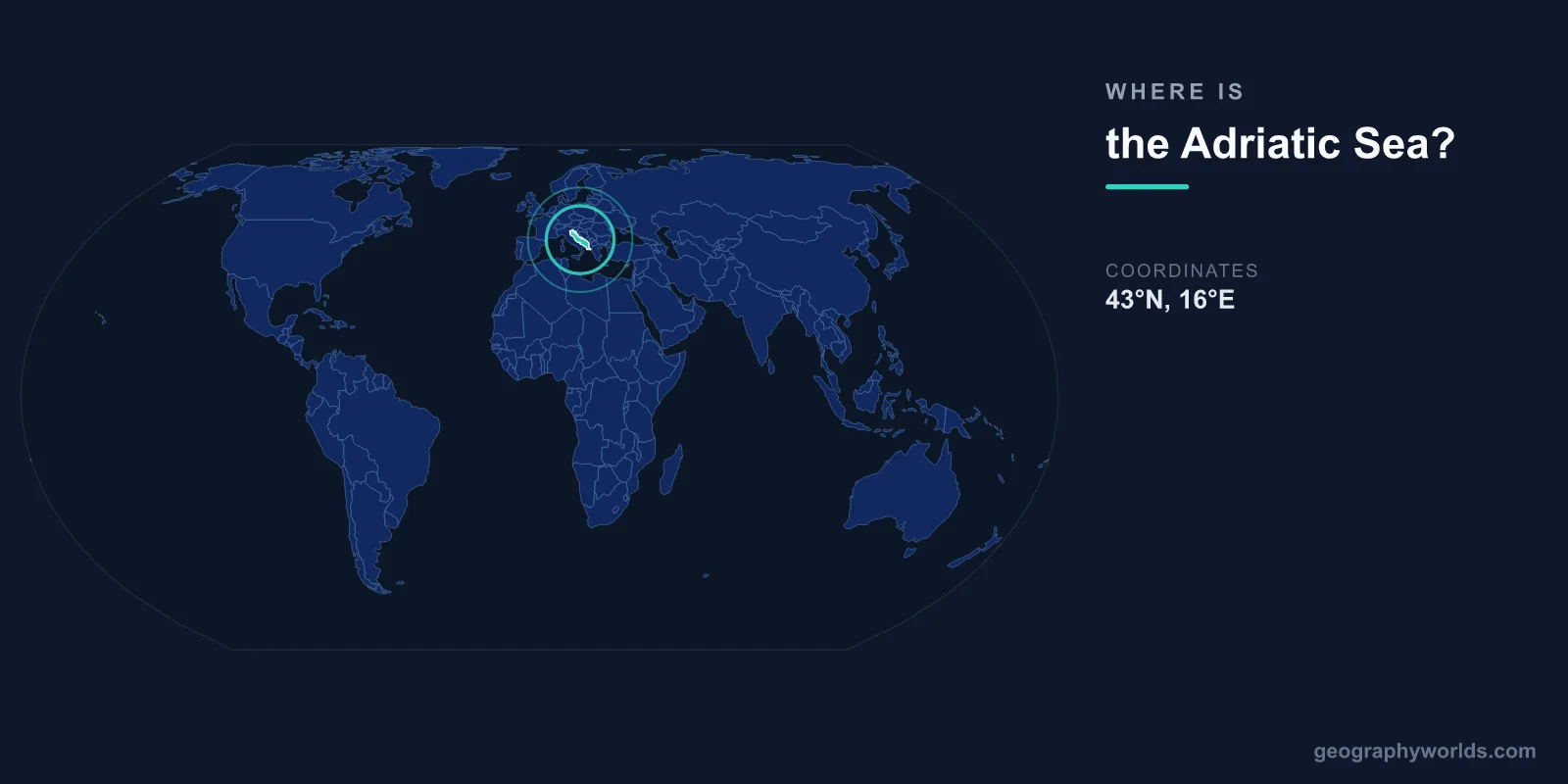
The Adriatic Sea is located in southern Europe, centered at approximately 43°N latitude and 16°E longitude. It is an elongated arm of the Mediterranean Sea, stretching roughly 800 kilometers from the Strait of Otranto in the south to the Gulf of Venice in the north. Italy lies along its entire western shore, while Croatia, Montenegro, Albania, Slovenia, and Bosnia and Herzegovina share its eastern coast.
Introduction
Covering approximately 138,600 square kilometers, the Adriatic is one of the most culturally and historically significant bodies of water in Europe. Its sheltered waters have nurtured maritime civilizations from the ancient Romans to the Venetian Republic, and today its shores are among the most popular tourist destinations in the Mediterranean.

Exact Location & Coordinates
- Center Coordinates: 43°N, 16°E
- Region: Southern Europe, arm of the Mediterranean
- Connected To: Ionian Sea via Strait of Otranto
On a world map, the Adriatic Sea is the narrow body of water separating Italy from the Balkan countries. It is easily identified by its elongated shape, running northwest to southeast. Venice sits at its northern end, while the Strait of Otranto — only 72 kilometers wide — marks its southern entrance, connecting it to the Ionian Sea and the broader Mediterranean.
To find the Adriatic quickly on a map, locate Italy's distinctive boot shape. The Adriatic is the sea on the eastern (inner) side of Italy, between the Italian boot and the former Yugoslav coast. It runs parallel to the Apennine mountain range on the Italian side and the Dinaric Alps on the Balkan side.
Surrounding Countries & Borders
- Italy: Entire western shore
- Croatia: Longest eastern coastline (~1,777 km with islands)
- Albania: Southeastern shore
- Montenegro: Eastern shore
- Slovenia: Tiny northern coastline (~47 km)
- Bosnia & Herzegovina: Small southern coastline (~20 km)
Italy dominates the western shore with major cities including Venice, Rimini, Ancona, Bari, and Brindisi. The Italian coast is generally low-lying with long sandy beaches. Croatia possesses the most intricate eastern coastline, with over 1,200 islands, islets, and rocks creating one of the most indented shorelines in the Mediterranean.
Albania's coast includes the historic ports of Durres and Vlore, while Montenegro's short but dramatic coastline features the UNESCO-listed Bay of Kotor, often called Europe's southernmost fjord. Slovenia and Bosnia and Herzegovina have only tiny slivers of Adriatic coastline, 47 km and 20 km respectively.
Geographic Context
- Length: ~800 km northwest to southeast
- Width: ~200 km average, 72 km at Strait of Otranto
- Part Of: Mediterranean Sea system
The Adriatic is remarkably narrow for its length, averaging about 200 kilometers wide. Its northern end, the Gulf of Venice, is extremely shallow — much of it less than 50 meters deep — because it sits on a broad continental shelf that was dry land during the last Ice Age, when sea levels were much lower.
The eastern (Croatian) coast is characterized by karst geology, creating a deeply indented coastline with islands that are essentially the visible tops of a submerged mountain range. The western (Italian) coast is much straighter, formed by sediment deposited by rivers flowing from the Apennines and, notably, the Po River delta.
Physical Characteristics
- Area: 138,600 km²
- Maximum Depth: 1,233 m (South Adriatic Pit)
- Average Depth: 259 m
- Tidal Range: Up to 1 m (higher in Venice)
The Adriatic has three distinct depth zones. The northern third is very shallow, rarely exceeding 50 meters. The middle section deepens to about 270 meters in the Mid-Adriatic Pit. The southern third is the deepest, with the South Adriatic Pit reaching 1,233 meters near the Albanian-Montenegrin coast.
The sea has relatively low salinity compared to the open Mediterranean, due to freshwater input from the Po River and numerous Balkan rivers. Tides are generally small in the Mediterranean, but the Adriatic's elongated shape amplifies them, particularly in the northern Gulf of Venice, where tidal flooding (acqua alta) periodically inundates the city.
Why It Matters
- Tourism: One of the Mediterranean's top destinations
- History: Cradle of Venetian maritime power
- Ecology: Protected marine areas, seagrass meadows
The Adriatic coast is one of Europe's premier tourist regions. Croatia's Dalmatian coast, with its walled city of Dubrovnik and island-hopping opportunities, attracts millions of visitors annually. Italy's Adriatic Riviera and the historic port cities of Venice and Bari are equally popular destinations.
Historically, the Adriatic was the stage for Venetian naval supremacy. The Republic of Venice dominated Adriatic trade for centuries, controlling the sea so completely that it was called "the Gulf of Venice." This maritime heritage is visible today in the Venetian-style architecture found in coastal towns from Italy to Croatia to Montenegro.
Key Facts
- The Adriatic Sea is centered at approximately 43°N, 16°E between Italy and the Balkans.
- It covers about 138,600 km² and stretches ~800 km from Venice to the Strait of Otranto.
- Six countries border it: Italy, Croatia, Slovenia, Bosnia & Herzegovina, Montenegro, and Albania.
- Maximum depth reaches 1,233 m in the South Adriatic Pit.
- Croatia's Adriatic coast has over 1,200 islands and islets.
Fun Facts
- Venice is slowly sinking into the Adriatic and experiences regular tidal flooding called acqua alta.
- The Bay of Kotor in Montenegro is often called the southernmost fjord in Europe.
- The Adriatic was so dominated by Venice that it was historically called "the Gulf of Venice."
- Croatia's coastline, including islands, stretches over 5,800 km — longer than mainland Italy's.
Final Thoughts
The Adriatic Sea is an elongated arm of the Mediterranean located between Italy and the Balkan Peninsula at approximately 43°N, 16°E. Its 800-kilometer stretch from Venice to the Strait of Otranto borders six nations and features some of Europe's most beautiful coastlines. From the lagoons of Venice to the islands of Croatia and the dramatic Bay of Kotor, the Adriatic is both a geographic landmark and a living museum of Mediterranean maritime civilization.
Test Your Knowledge!
Think you know where things are on the map? Test your skills!
Play Geography Games →