
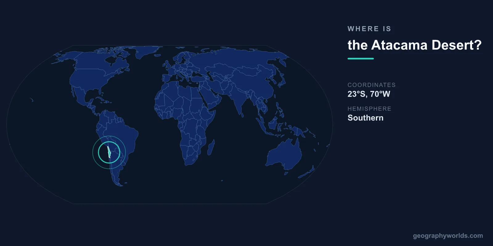
The Atacama Desert is located in northern Chile, centered at approximately 24°S latitude and 69°W longitude. It stretches roughly 1,600 kilometers along the Pacific coast from southern Peru to central Chile, occupying a narrow strip between the Andes Mountains to the east and the Pacific Ocean to the west.
Introduction
The Atacama is the driest non-polar desert on Earth. Some weather stations in its core have never recorded rainfall. The desert covers approximately 105,000 square kilometers and its landscape of salt flats, sand, and barren rock has been compared to the surface of Mars — in fact, NASA has used the Atacama to test Mars rover equipment.

Exact Location & Coordinates
- Center Coordinates: 24°S, 69°W
- Region: Northern Chile, Pacific coast of South America
- Extent: ~1,600 km long, 100-180 km wide
On a world map, the Atacama Desert occupies the narrow coastal strip of northern Chile. Find Chile's distinctive long, thin shape on South America's western coast, then look at the northern third — that arid region between the Pacific and the Andes is the Atacama. The desert is easy to spot on satellite imagery as a tan-to-white strip along the coast.
The driest core of the Atacama lies between the cities of Arica in the north and Copiapo in the south. The area around the Yungay research station is considered the absolute driest point, where soils are nearly sterile and conditions most closely resemble Mars.
Surrounding Countries & Borders
- Chile: The vast majority of the Atacama
- Peru: Southern Peru contains the Atacama's northern extension
- Bolivia: The Altiplano borders the Atacama to the northeast
Chile contains nearly all of the Atacama Desert, which spans the regions of Arica y Parinacota, Tarapaca, Antofagasta, and Atacama. The city of Antofagasta, Chile's fifth-largest city, sits on the Pacific coast within the desert. San Pedro de Atacama, a popular tourist village, lies at 2,400 meters on the desert's eastern edge near the Andes.
The Atacama's extreme aridity extends slightly into southernmost Peru (the Sechura Desert is a related arid zone) and borders Bolivia's Altiplano to the northeast. The Bolivia-Chile border region includes the Salar de Uyuni, the world's largest salt flat, though it sits above the Atacama proper.
Geographic Context
- Double Rain Shadow: Andes block east moisture, Pacific High blocks west
- Pacific Coast: Cold Humboldt Current creates coastal fog but minimal rain
- Elevation: Sea level to 4,500+ m at Andean foothills
The Atacama's extreme aridity results from a rare double rain shadow effect. The Andes block moisture from the Amazon basin to the east, while the South Pacific High pressure system and the cold Humboldt Current prevent significant precipitation from the Pacific to the west. The Humboldt Current creates coastal fog (camanchaca) but almost no rain.
Despite being one of the driest places on Earth, the Atacama supports oasis communities in river valleys where Andean snowmelt flows westward. The Loa River is the only permanent river to cross the desert to the Pacific. High-altitude lakes and salt flats in the Andes foothills, like the Salar de Atacama, support flamingo populations.
Physical Characteristics
- Area: ~105,000 km²
- Rainfall: Some areas: <1 mm per year
- Elevation Range: Sea level to 4,500+ m
- Age: Hyperarid for at least 3 million years
The Atacama has been hyperarid for at least 3 million years, and some scientists argue for 10-15 million years, making it the oldest desert on Earth. Some soils in the core desert are so dry and devoid of life that they are essentially sterile — resembling Martian regolith more than terrestrial soil.
The desert's landscapes include vast salt flats (salares), sand dunes, volcanic peaks, geysers, and deeply eroded canyons. The Valle de la Luna (Valley of the Moon) near San Pedro de Atacama features dramatic wind-eroded rock formations. The El Tatio geyser field, at 4,320 meters, is the third-largest in the world.
Why It Matters
- Astronomy: World's best astronomical observation sites
- Mining: World's largest copper and lithium deposits
- Astrobiology: Used as Mars analog environment by NASA
The Atacama's extreme dryness, high altitude, and minimal light pollution make it the premier location for astronomical observatories. The Atacama Large Millimeter Array (ALMA), the European Southern Observatory's Very Large Telescope, and the upcoming Extremely Large Telescope are all located in the Chilean Atacama.
Mining has defined the Atacama's economic importance. The desert contains the world's largest copper deposits, with mines like Chuquicamata and Escondida producing a significant share of global copper. The Salar de Atacama holds the world's largest lithium reserves, critical for batteries and electric vehicles. Historically, nitrate mining in the 19th century made the Atacama a geopolitical flashpoint, leading to the War of the Pacific (1879-1884) between Chile, Bolivia, and Peru.
Key Facts
- The Atacama Desert is centered at approximately 24°S, 69°W in northern Chile.
- It stretches ~1,600 km along the Pacific coast and is the driest non-polar desert on Earth.
- Some weather stations have never recorded any rainfall.
- It has been hyperarid for at least 3 million years, possibly the oldest desert on Earth.
- The Atacama hosts the world's premier astronomical observatories due to its clear, dry skies.
Fun Facts
- NASA uses the Atacama to test Mars rover equipment because the conditions are so similar.
- When it rains in the Atacama (roughly once a decade), the desert briefly blooms with wildflowers.
- The Atacama's skies are so clear that you can see the moons of Jupiter with the naked eye from some locations.
- Chile produces about 25% of the world's copper, much of it from Atacama mines.
Final Thoughts
The Atacama Desert stretches along Chile's northern Pacific coast at approximately 24°S, 69°W, a 1,600-kilometer strip of the driest non-polar land on Earth. Its Mars-like conditions, world-class observatories, and vast mineral wealth make it one of the most scientifically and economically significant deserts on the world map. From copper and lithium mining to cutting-edge astronomy, the Atacama punches far above its modest size.
Test Your Knowledge!
Think you know where things are on the map? Test your skills!
Play Geography Games →