
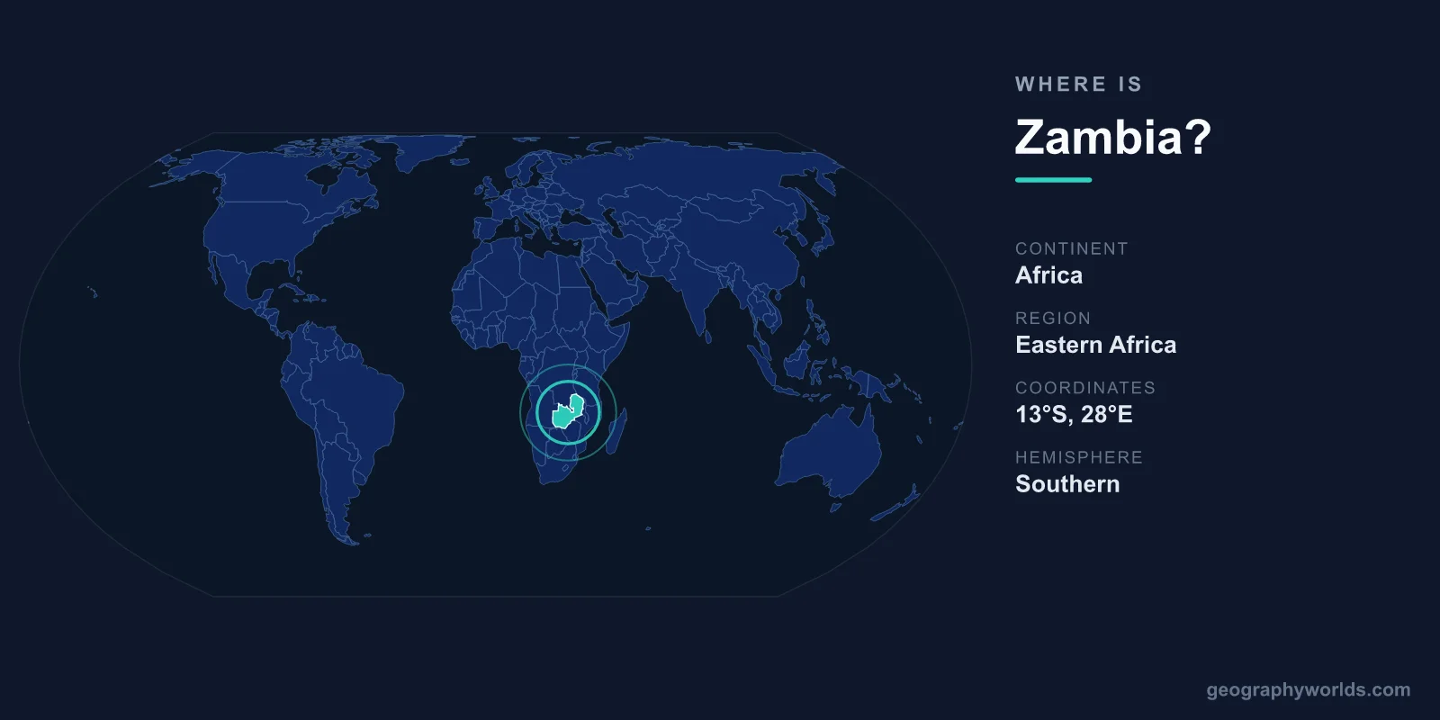
Zambia is a landlocked country in south-central Africa, lying just south of the Equator between roughly 8°S and 18°S latitude and 22°E to 34°E longitude. It sits in the Southern and Eastern Hemispheres, covers an area of 752,612 km², and is bordered by eight neighbouring countries. Its capital and largest city is Lusaka, located in the south-central part of the country.
Where Exactly Is Zambia on the Map?
Zambia occupies a high plateau in the heart of southern Africa, well inland from any coastline. To picture its position, imagine a roughly butterfly-shaped country stretching across the Tropic of Capricorn region, draped over the upper basin of the Zambezi River, from which the nation takes its name. Most of the country lies between 1,000 and 1,600 metres above sea level, giving Zambia a milder, more temperate climate than its tropical latitude alone would suggest.
In continental terms, Zambia is classed as part of Southern Africa, though it bridges the divide between southern and central Africa and is sometimes grouped with the latter. It is a member of both the Southern African Development Community (SADC) and the Common Market for Eastern and Southern Africa (COMESA), reflecting its position as a regional crossroads. The country has no access to the sea, making it one of the world's landlocked nations and dependent on its neighbours' ports for international trade.
Zambia's Eight Bordering Countries
Few countries share borders with as many neighbours as Zambia. It is surrounded by eight nations, a fact that has shaped its trade routes, migration patterns, and cultural ties for generations:
- Democratic Republic of the Congo — to the north, along the mineral-rich Copperbelt frontier
- Tanzania — to the northeast, near the southern tip of Lake Tanganyika
- Malawi — to the east
- Mozambique — to the southeast
- Zimbabwe — to the south, across the Zambezi River
- Botswana — to the south, meeting Zambia at a single point near the Zambezi
- Namibia — to the southwest, along the Caprivi/Zambezi region
- Angola — to the west
The four-way junction near Kazungula, where Zambia, Zimbabwe, Botswana, and Namibia nearly converge along the Zambezi, is one of the most unusual border points on Earth. A bridge completed here in 2021 now links Zambia and Botswana directly across the river.
Rivers, Falls, and Lakes
Zambia's geography is defined by water. The Zambezi River, Africa's fourth-longest, rises in the northwest of the country and flows south and east, forming much of the southern border. Along this stretch lies Victoria Falls, known locally as Mosi-oa-Tunya, "the smoke that thunders." One of the largest waterfalls in the world by combined width and height, it sits on the Zambia–Zimbabwe border and is a UNESCO World Heritage Site.
The Zambezi has also been dammed to create Lake Kariba, one of the largest artificial lakes on the planet. In the far north, Zambia touches Lake Tanganyika, the world's longest freshwater lake, while the Luangwa and Kafue rivers carve through valleys that host some of the country's most celebrated national parks and wildlife reserves.
Size, Terrain, and Climate
At 752,612 km², Zambia is roughly the size of France, or a little larger than the US state of Texas. Despite this substantial footprint, much of the landscape is a gently rolling plateau covered in miombo woodland. The terrain dips into broad valleys such as the Luangwa and the Zambezi rift, and rises to its highest point in the Mafinga Hills in the northeast.
Because of its elevation, Zambia enjoys three distinct seasons rather than the heat one might expect so near the Equator: a cool, dry winter from May to August; a hot, dry season in September and October; and a warm, wet season from November to April when the rains arrive. This climate supports both extensive farmland and rich savanna ecosystems. For a deeper look at the country's regions, people, and travel highlights, see our zambia country guide.
Cities, People, and Economy
Lusaka, with well over two million residents in its metropolitan area, is Zambia's political and commercial heart. The Copperbelt cities of Kitwe and Ndola form a second major urban cluster in the north, built around the copper mining that remains central to the national economy. Zambia is one of the world's leading copper producers, and the metal accounts for the bulk of its exports.
English is the official language, a legacy of the country's time as the British protectorate of Northern Rhodesia before independence in 1964. Alongside English, Zambians speak more than 70 local languages and dialects, with Bemba, Nyanja, Tonga, and Lozi among the most widely used. Christianity is the dominant religion. The country is a presidential republic, and its currency is the Zambian Kwacha (ZMW).
Frequently Asked Questions
Is Zambia in East or Southern Africa?
Zambia is generally classified as part of Southern Africa, though it lies in the south-central interior and borders East African nations such as Tanzania. Its membership in the Southern African Development Community reinforces the Southern Africa label.
Is Zambia a landlocked country?
Yes. Zambia has no coastline and is completely surrounded by land. It relies on routes through neighbouring countries, such as Tanzania's port of Dar es Salaam, for access to the sea.
What is the capital of Zambia?
The capital is Lusaka, located in the south-central part of the country. It is also Zambia's largest city and its main commercial centre.
What countries border Zambia?
Zambia borders eight countries: the Democratic Republic of the Congo, Tanzania, Malawi, Mozambique, Zimbabwe, Botswana, Namibia, and Angola.