
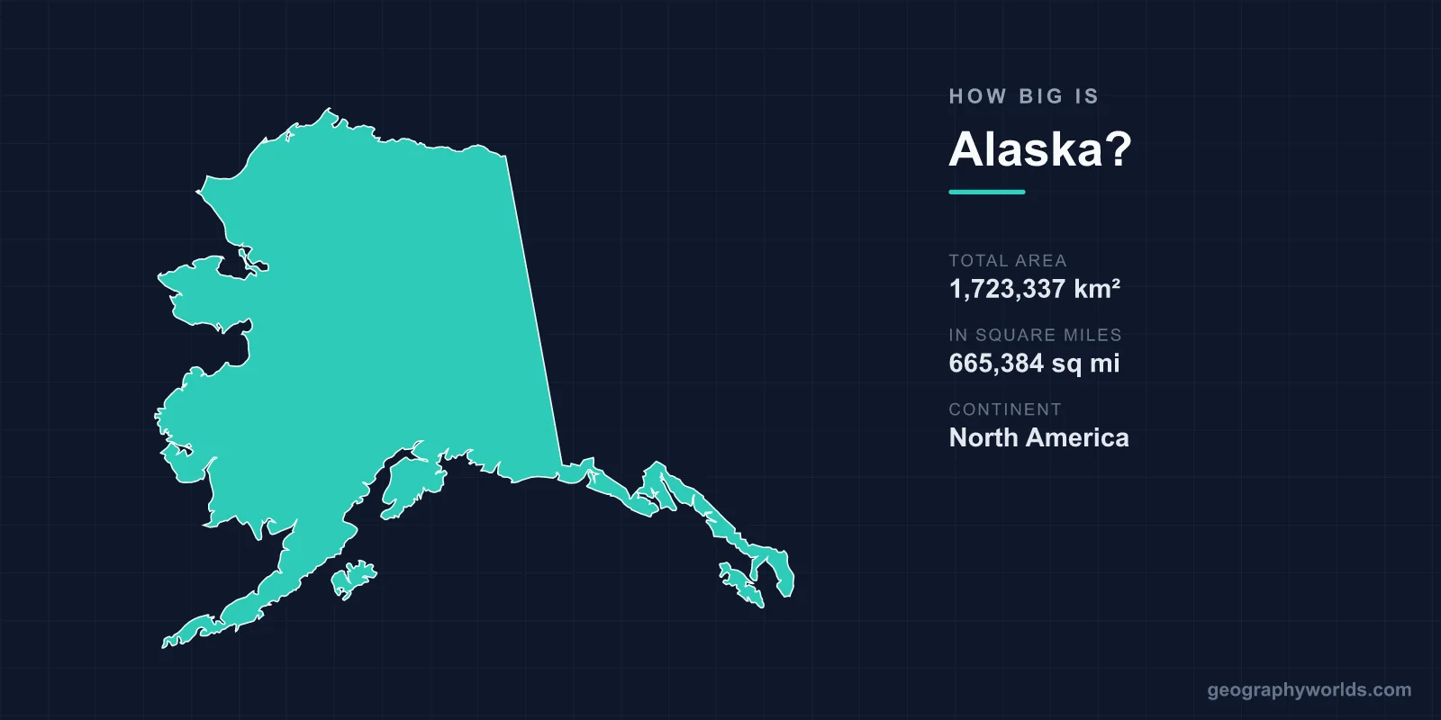
Alaska covers 1,723,337 km² (665,384 sq mi), making it by far the largest state in the United States — more than twice the size of Texas and bigger than France, Spain, and Germany combined. If Alaska were an independent country, it would rank as roughly the 17th largest nation on Earth, slotting between Libya and Iran. Yet for all that land, only about 733,000 people live there, giving Alaska the lowest population density of any US state.
Just How Big Is Alaska?
Alaska's total area of 1,723,337 km² accounts for about 17.5% of the entire United States — roughly one-fifth of the whole country packed into a single state. To put that in perspective, the next-largest state, Texas, covers 696,241 km². Alaska is about 2.5 times its size, and it is actually larger than Texas, California, and Montana combined.
The sheer scale is hard to picture on a standard map, where Alaska is often shrunk and tucked into a corner. In reality, if you laid Alaska across the contiguous United States, it would stretch nearly from the Atlantic to the Pacific. You could fit the United Kingdom inside it about seven times, and the whole of Ireland would disappear beneath Alaska's glaciers alone.
Dimensions and Coastline
Alaska measures roughly 2,285 km from north to south and an immense 3,639 km from east to west. That east-west span is so wide that the Aleutian Islands reach across the International Date Line, which technically makes Alaska both the westernmost and the easternmost state in the country.
Its coastline is equally staggering. The general shoreline runs about 10,686 km (6,640 mi) — longer than that of all the other 49 states put together. When you measure the tidal coastline, tracing every bay, fjord, and island, the figure balloons to more than 54,000 km. This endless edge of land and sea is shaped by the Aleutian chain, which alone stretches some 1,900 km out into the Pacific.
Mountains, Glaciers, and Lakes
Alaska is not just wide — it is tall and wild. Denali rises to 6,190 m (20,310 ft), the highest peak in all of North America. Remarkably, the state contains 17 of the 20 highest mountains in the United States. Its landscapes range from Arctic tundra and boreal forest to temperate rainforest, volcanic ranges, and coastal fjords.
- Alaska holds roughly 100,000 glaciers, covering about 75,000 km² — an icy expanse larger than the island of Ireland.
- The Malaspina Glacier alone is larger than the entire state of Rhode Island.
- The state is dotted with over 3 million lakes, more than any other US state.
- More than 100 volcanoes and volcanic fields lie within its borders, about 50 of which have erupted since 1760.
The Tongass National Forest, in the southeastern panhandle, covers around 68,000 km², making it the largest national forest in the country. Despite all this terrain, only about 20% of Alaska is reachable by road — most communities depend on small planes and boats.
A Land of Extremes
With size comes extraordinary variety. The Arctic North Slope plunges below -40°C in deep winter, while the southern panhandle enjoys mild, rainy maritime weather. The Interior swings through some of the widest temperature ranges on the planet, from around -50°C in winter to 35°C in summer.
This vastness also carries a famous backstory. The United States bought Alaska from Russia in 1867 for $7.2 million — about two cents per acre. At the time critics mocked the deal as "Seward's Folly," but it added an area larger than most countries to the nation. The capital, Juneau, remains the only US state capital with no road connecting it to the outside world; you can only reach it by air or sea. To explore how Alaska stacks up against countries and regions worldwide, try our interactive geography games.
Frequently Asked Questions
Is Alaska bigger than Texas?
Yes. Alaska is about 2.5 times the size of Texas. Alaska covers 1,723,337 km² versus Texas at roughly 696,241 km², so you could fit more than two Texases inside Alaska.
How does Alaska compare to a whole country?
If Alaska were an independent nation, it would rank around the 17th largest in the world, between Libya and Iran. It is larger than France, Spain, and Germany combined.
How many people live in Alaska?
Alaska has a population of only about 733,000 people. Combined with its huge area, that gives it the lowest population density of any US state.
What is the highest point in Alaska?
Denali, formerly known as Mount McKinley, is Alaska's highest point at 6,190 m (20,310 ft). It is also the tallest mountain in all of North America.
