
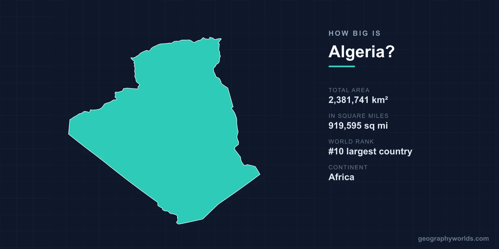
Algeria covers a total area of 2,381,741 km² (919,595 sq mi), making it the 10th largest country in the world and, since 2011, the largest country in Africa. That single figure means Algeria alone accounts for roughly 1.6% of all the land on Earth, and it dwarfs every other nation on its continent.
Just How Large Is 2.38 Million Square Kilometres?
Algeria's land area is so vast that it is hard to grasp without comparisons. At 2,381,741 km², the country is larger than the combined area of Western Europe's biggest states. You could fit France, Spain, Germany and Italy inside its borders and still have room to spare. Measured against the United Kingdom (about 244,000 km²), Algeria is nearly ten times bigger, and it is roughly 3.7 times the size of France.
Within Africa, Algeria's dominance is striking. It became the continent's largest country in 2011, when South Sudan separated from Sudan and pushed Sudan down the rankings. Algeria edges out the Democratic Republic of the Congo and Sudan to claim the top spot. Globally it sits in tenth place, behind Russia, Canada, the United States, China, Brazil, Australia, India, Argentina and Kazakhstan.
The Shape and Span of the Country
Algeria stretches roughly 2,400 km from its Mediterranean shoreline in the north to its desert frontiers in the south, and about 2,200 km from east to west. Despite this enormous interior, its coastline is comparatively modest at around 998 km, running along the Mediterranean Sea.
The country shares land borders with seven neighbours: Tunisia and Libya to the east, Niger and Mali to the south, Mauritania and the disputed Western Sahara to the southwest, and Morocco to the west. These long frontiers cut mostly through empty desert, which is one reason much of Algeria's southern boundary follows straight survey lines rather than rivers or ridges.
A Country Dominated by the Sahara
The defining feature of Algeria's geography is the Sahara Desert, which blankets roughly 80% of the national territory. The Algerian portion of the Sahara alone is larger than the entire country of Mexico. This explains a remarkable statistic: only about 12% of Algeria's land is habitable, and the overwhelming majority of its population is squeezed into the fertile northern strip near the coast.
North of the desert, the land rises into two parallel mountain systems. The Tell Atlas runs close to the Mediterranean, sheltering the narrow coastal plain where most Algerians live, while the Saharan Atlas marks the threshold of the desert proper. Between and beyond them lie high plateaus and salt flats before the terrain gives way to endless sand and rock.
Mountains, Plateaus and Extremes
Algeria's highest point is Mount Tahat, rising to 3,003 m (9,852 ft) in the Hoggar Mountains deep in the southern Sahara. This volcanic massif stands like an island of rock in a sea of sand, and its altitude brings surprisingly cool nights to an otherwise scorching region. Nearby, the Tassili n'Ajjer plateau, a UNESCO World Heritage Site, holds more than 15,000 rock engravings and paintings, some dating back roughly 10,000 years, recording a time when the Sahara was green and inhabited.
The climate mirrors this divide. The coast enjoys a Mediterranean pattern of mild, wet winters and hot, dry summers, while the interior is intensely arid. Parts of the Algerian Sahara receive less than 20 mm of rain in an entire year, and some areas can go years without measurable precipitation. For more on the nation's regions, history and culture, see our algeria country guide.
Quick Size Reference
- Total area: 2,381,741 km² (919,595 sq mi)
- World rank: 10th largest country
- Africa rank: 1st (largest on the continent)
- Share of world land: approximately 1.6%
- Coastline: about 998 km along the Mediterranean
- Highest point: Mount Tahat, 3,003 m
- Capital: Algiers
Frequently Asked Questions
Is Algeria the largest country in Africa?
Yes. With an area of 2,381,741 km², Algeria has been the largest country in Africa since 2011, when South Sudan split from Sudan and reduced Sudan's territory. It now ranks ahead of the Democratic Republic of the Congo and Sudan.
How does Algeria compare in size to France?
Algeria is roughly 3.7 times larger than France, which covers about 640,679 km². In fact, you could fit France, Spain, Germany and Italy together inside Algeria and still have land left over.
What percentage of Algeria is desert?
About 80% of Algeria is covered by the Sahara Desert. Because so much of the country is arid, only around 12% of its land is considered habitable, and most Algerians live in the fertile north near the Mediterranean coast.
Where does Algeria rank in the world by area?
Algeria is the 10th largest country in the world, sitting just behind Kazakhstan and ahead of every other African and most other nations on Earth.
