
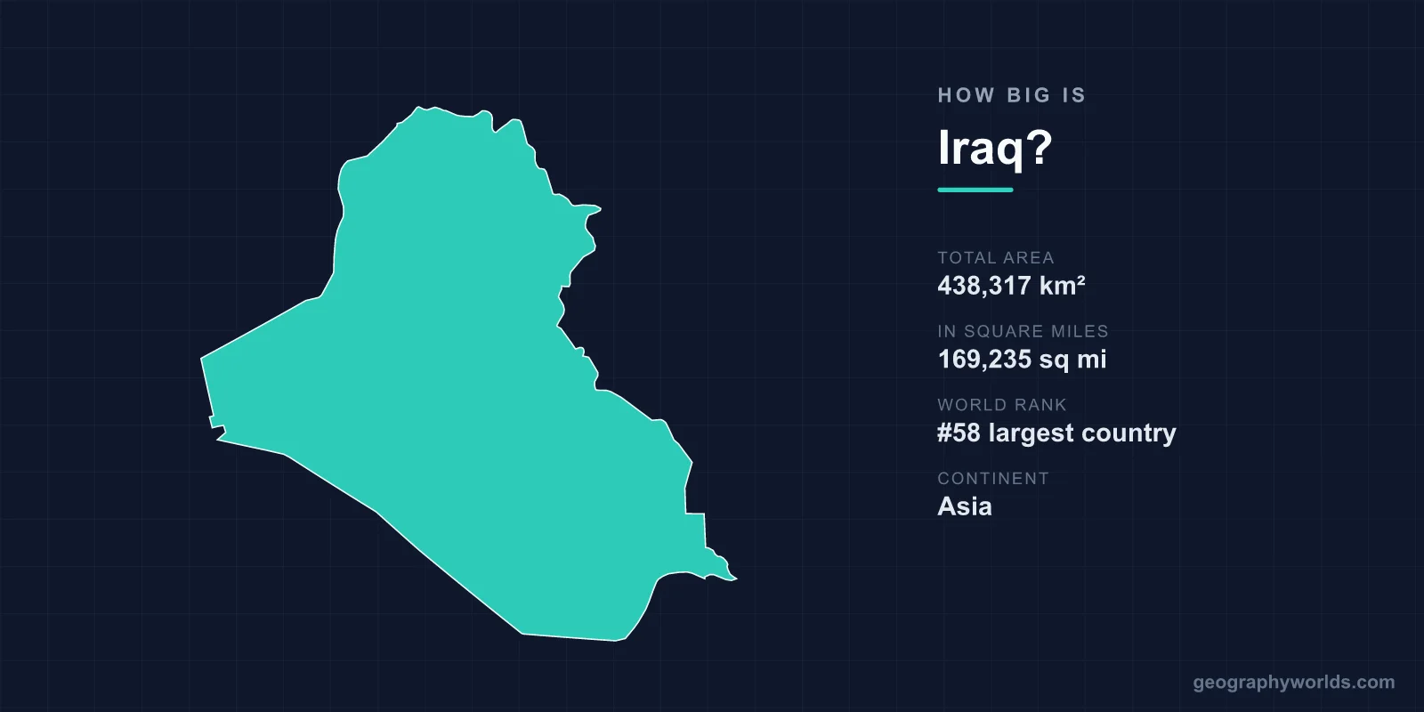
Iraq covers 438,317 km², or 169,235 square miles, making it the 58th largest country in the world. That is slightly larger than Sweden, roughly the size of California, and about twice the size of the United Kingdom's land area minus Scotland. Its coastline, by contrast, runs to about 58 kilometres — one of the shortest of any country with a sea frontage at all.
The Shortest Coast of Any Major Oil Exporter
Iraq's entire access to the sea is a stretch of shore at the head of the Persian Gulf, between Kuwait and Iran, around the Shatt al-Arab and the Khawr Abd Allah. It amounts to less than 60 kilometres.
For a country that has been among the world's largest oil exporters for decades, that is an acute constraint. The deep-water terminals at Basrah and Khor al-Amaya sit offshore, tanker loading is concentrated in a very small area, and the entire export capacity of the south is vulnerable to disruption at a single point.
It also explains the persistent friction with Kuwait over the Khawr Abd Allah channel and the status of Bubiyan and Warbah islands, and why Iraq is building the Grand Faw port. When your coast is 58 kilometres long, every metre of it is strategic.
Slightly Larger Than Sweden
Sweden, at 450,295 km², is a little bigger than Iraq; California at 423,967 km² is a little smaller. Germany (357,022 km²) is about four-fifths the size, and Japan (377,975 km²) smaller still.
The comparison that matters regionally is Iran, at 1,648,195 km² — nearly four times larger, wrapping around Iraq's entire eastern flank. The eight-year war the two fought in the 1980s was in part a war between a country with strategic depth and one without it.
The Land Between the Rivers
Mesopotamia means between the rivers, and the Tigris and Euphrates define the usable portion of Iraq's area. Both rise in Turkey, the Euphrates crossing Syria before entering Iraq, and they converge near Basra to form the Shatt al-Arab before reaching the Gulf.
The alluvial plain they built is where agriculture, cities and writing appear earliest in the archaeological record. Uruk, Ur, Babylon, Nippur, Nineveh and Ctesiphon all sit within this belt, and the density of tells across the southern plain is extraordinary — the landscape is composed, in places, of the remains of previous settlement.
The rivers are also the reason the area figure is misleading. Roughly a third of Iraq is cultivable, concentrated along the rivers and in the north-east; the rest is desert or mountain.
The Western Desert
Al-Anbar, Iraq's largest governorate, covers around 138,500 km² — close to a third of the country and larger than England — and holds a small fraction of the population. It is part of the Syrian Desert, a limestone and gravel plateau extending into Syria, Jordan and Saudi Arabia.
Its emptiness has been militarily consequential more than once. It is where Scud launchers were hidden in 1991, where insurgent supply lines ran after 2003, and where Islamic State moved between Syria and Iraq across a border that exists on maps and not on the ground.
The Mountains in the North-East
The Kurdistan Region in the north-east is the only substantial area of Iraq that is neither plain nor desert. The Zagros foothills rise toward the Iranian and Turkish borders, reaching around 3,600 metres at Cheekha Dar, the country's highest point.
The region covers roughly 40,000 to 46,000 km² under the Kurdistan Regional Government's formal administration, with further disputed territories outside it. It receives enough rainfall for non-irrigated agriculture, which distinguishes it sharply from the rest of the country, and its oil is the basis of a long-running revenue dispute with Baghdad.
The Marshes That Were Drained
Where the Tigris and Euphrates meet, the Mesopotamian Marshes once covered somewhere between 15,000 and 20,000 km² — one of the largest wetland systems in western Eurasia and the home of the Marsh Arabs, who lived in reed houses on floating islands.
After the 1991 uprising, the Iraqi government constructed canals and embankments to drain them, and by 2000 satellite imagery showed the marshes reduced to a small fraction of their former extent. The United Nations Environment Programme described it as one of the world's greatest environmental disasters.
After 2003 local communities breached the embankments and a substantial area re-flooded. The marshes were inscribed by UNESCO in 2016 as the Ahwar of Southern Iraq, a mixed natural and cultural property that bundles four separate wetland areas with the ruined cities of Uruk, Ur and Tell Eridu — an unusual listing that treats the water and the settlements it once fed as one landscape. Restoration has partially succeeded, but upstream dams in Turkey, Syria and Iran, along with drought, have kept water levels far below historic norms.
Water That Arrives From Somewhere Else
Iraq's fundamental vulnerability is that it sits at the bottom of a basin it does not control. The Euphrates rises in Turkey and passes through Syria; the Tigris rises in Turkey with major tributaries from Iran.
Turkey's Southeastern Anatolia Project, a programme of more than twenty dams including the Atatürk and Ilısu dams, has substantially reduced downstream flow. Iranian diversions have dried several Tigris tributaries entirely. Iraqi officials have warned that flow in both rivers could fall dramatically within decades.
The consequence for the country's usable area is direct: salinity is rising in the southern plain, farmland is being abandoned, and the marshes shrink again in dry years. A country's area is only as useful as the water reaching it.
Borders Drawn After a War
Iraq's boundaries were assembled from three Ottoman provinces — Basra, Baghdad and Mosul — under a British mandate after the First World War. The Mosul question was contested with Turkey and settled by the League of Nations in 1925 in Iraq's favour, which is why the oil of Kirkuk is Iraqi.
The southern boundary with Kuwait derives from an unratified Anglo-Ottoman convention of 1913 and an exchange of letters in 1932, and Iraq disputed it until the United Nations demarcated the line after the 1990 invasion and the Security Council declared the result final in 1993.
The western borders with Syria, Jordan and Saudi Arabia run largely as straight lines across the desert, a product of Anglo-French partition rather than of anything on the ground.
The Neutral Zone That Used to Exist
Iraq also once shared a diamond-shaped Neutral Zone with Saudi Arabia, around 7,000 km² left undivided in 1922 because Bedouin from both sides used its wells.
It was partitioned by agreement in 1975 and the division was registered with the United Nations in 1991. Together with the Kuwaiti Neutral Zone to the east, it is a reminder that a large part of the Arabian frontier was deliberately left undefined for decades because nobody had a reason to define it.
What the Area Holds
Iraq's proven oil reserves are among the largest in the world, concentrated in the southern fields around Basra — Rumaila, West Qurna, Majnoon, Zubair — and in the north around Kirkuk.
The geographic concentration matters. A very large share of national revenue comes from a small area near a short coastline, reached by a limited number of pipelines and terminals, which gives the country's economic geography a fragility that its total area does not suggest.
Cities in the Plain
Baghdad sits on the Tigris roughly in the centre of the country, a metropolitan area of well over seven million in a governorate of only about 4,555 km² — the smallest in Iraq by area and the largest by population.
The pattern holds nationally: Iraq is heavily urbanised, with around 70 per cent of people in cities, strung along the rivers. The population is concentrated in a fraction of the territory, which is the same arrangement the Sumerians used, for the same reason.
Distances Inside the Country
Iraq is roughly 900 kilometres from the Turkish border in the north to the Gulf in the south, and about 700 east to west at its widest. Baghdad to Basra is around 550 kilometres, Baghdad to Mosul about 400, and Baghdad to Erbil about 350.
The road network follows the rivers, and the highway from Baghdad to the Jordanian border across Anbar — Highway 1, built in the 1980s — runs several hundred kilometres through near-empty desert. It became one of the most dangerous roads in the world after 2003 and again during the Islamic State period.
The railway from Baghdad to Basra is a remnant of the Berlin-Baghdad line, the German project that was among the proximate causes of Anglo-German tension before the First World War. It has operated intermittently, and plans to connect it to Turkey and onward to Europe have been discussed for a century.
Shape Matters More Than Size
438,317 km², 58th in the world, a little larger than Sweden — with a third of it usable, a third desert, and 58 kilometres of coast.
The figure that actually describes Iraq is not its area but its shape: a wedge of irrigated plain between two rivers that begin abroad, flanked by emptiness, opening onto the sea through a gap you could drive along in under an hour. Iraq more broadly is our Iraq country guide, and the lines that enclose these 438,317 square kilometres are described in our guide to Iraq's borders.
