
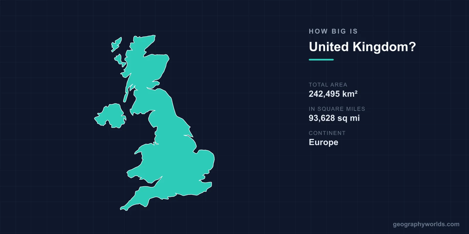
The United Kingdom covers about 242,500 km² (93,600 sq mi), making it roughly the 78th-largest country in the world. That is about the size of Oregon, a little smaller than Michigan, and slightly larger than Romania or Ghana. England takes up just over half of it, Scotland about a third, and Wales and Northern Ireland the rest. The UK is only around 500 km across at its widest, and nowhere in it is more than about 115 km from the sea.
The UK Next to Places You Know
| Place | Area | Compared with the UK |
|---|---|---|
| Ghana | 238,535 km² | Slightly smaller |
| Romania | 238,397 km² | Slightly smaller |
| Michigan | ~250,500 km² | Slightly larger |
| Oregon | ~255,000 km² | About 5% larger |
| New Zealand | ~268,000 km² | About 10% larger |
| Germany | ~357,600 km² | About 1.5 times larger |
| France (mainland) | ~551,500 km² | About 2.3 times larger |
| Texas | ~695,700 km² | About 2.9 times larger |
New Zealand is the comparison that surprises people most. It has about 5 million people to the UK's 69 million, yet it is the larger country. Japan is another. At about 378,000 km², it is more than half as large again as the UK, as our comparison of the UK and Japan sets out.
Four Countries, Very Unequal Shares
The UK's four constituent countries differ in size far more than their equal billing suggests. England covers about 130,300 km², 54 per cent of the total, and holds about 84 per cent of the population. Scotland covers about 77,900 km², a third of the UK's land, with about 8 per cent of its people, and most of it is upland. Wales is about 20,800 km². Its size has become a unit of measurement in its own right: British news reports describe forests or ice shelves as "the size of Wales". Northern Ireland is the smallest at about 13,600 km².
That imbalance runs through British politics, and it is why the UK is described as a union of countries rather than a federation of states. Our explainer on how the UK's four countries are governed covers how devolution divides power between them.
Great Britain, the UK and the British Isles
Three names are often used as if they meant the same thing. Great Britain is the island that holds England, Scotland and Wales, about 209,300 km² and the ninth-largest island in the world. The United Kingdom is the country: Great Britain plus Northern Ireland and the smaller islands around them. The British Isles is the geographical term for the whole archipelago, including the island of Ireland and therefore the Republic of Ireland, which is a separate country. The island of Ireland covers about 84,400 km², and Northern Ireland takes up only about a sixth of it.
Some nearby islands are part of none of these political units. The Isle of Man and the Channel Islands of Jersey and Guernsey are Crown Dependencies: self-governing possessions of the Crown that are not part of the UK and were never in the European Union. They are left out of the UK's area. So are the 14 British Overseas Territories, from Gibraltar to the Falklands. The UK's claim in Antarctica alone, the British Antarctic Territory, covers about 1.7 million km², seven times the UK itself, but like every Antarctic claim it is frozen under the 1959 Antarctic Treaty.
Why Sources Give Different Figures
Different reference books give the UK's area as anything from about 242,000 to 244,000 km², and none of them is wrong. The Office for National Statistics measures the land to the mean high water line, the average position of high tide, and publishes about 242,500 km². The CIA World Factbook gives about 243,600 km², because it includes inland water such as lochs, lakes and reservoirs. Other sources count to the low-water line, which adds the intertidal flats and sands exposed at low tide. Those flats are very large around Morecambe Bay, the Wash and the Severn estuary, where the tidal range is among the highest in the world.
How the Borders Were Drawn
The UK was assembled in stages. England and Wales were joined by laws of the 1530s and 1540s. The Acts of Union of 1707 united England with Scotland to form Great Britain, and a further Act of Union in 1801 added Ireland. The present shape dates from 1922, when most of Ireland left to form the Irish Free State and six north-eastern counties remained in the UK as Northern Ireland.
That created the UK's only significant land border, about 499 km between Northern Ireland and the Republic of Ireland, crossed by roughly 200 roads. It follows old county boundaries rather than any natural feature, and in places it cuts through farms and villages. The UK's other land border, just over 1 km long, separates Gibraltar from Spain. The UK has also added territory at sea. In 1972 Parliament formally incorporated Rockall, a granite islet about 25 m across in the North Atlantic, into Scotland. Ireland and other countries have never accepted the claim. The full picture is in our guide to the countries that border the UK.
Long, Narrow and Never Far From the Sea
The UK is long rather than wide. From the southern tip of Cornwall to the northern end of Shetland is about 1,250 km, but the main island is only about 500 km across at its widest and much narrower in places. Between the Firth of Forth and the Firth of Clyde, central Scotland is only about 60 km wide, which is why the Romans built the Antonine Wall across it. Land's End to John o' Groats, the traditional end-to-end journey across Great Britain, is about 970 km in a straight line and about 1,400 km by road. Surveys of the point furthest from the sea place it in the English Midlands, near the village of Coton in the Elms in Derbyshire, about 113 km from the coast.
The coastline is so irregular that its length depends on how you measure it. The CIA World Factbook gives about 12,400 km. Ordnance Survey, following every inlet at a detailed scale, arrives at more than 31,000 km. That problem made Britain the classic example in mathematics. In 1967 Benoît Mandelbrot published a paper titled "How Long Is the Coast of Britain?", building on Lewis Fry Richardson's observation that a coast measured with a shorter ruler always comes out longer. The work helped found the study of fractals.
From Ben Nevis to the Fens
For a small country, the UK has a wide range of relief. Each nation's highest point is in its north or west. The Cairngorm plateau in Scotland is the largest area of arctic-like mountain ground in Britain, with snow patches that sometimes survive the summer. They are Ben Nevis in Scotland at 1,345 m, Yr Wyddfa (Snowdon) in Wales at 1,085 m, Scafell Pike in England at 978 m and Slieve Donard in Northern Ireland at 850 m. The lowest ground is in the Fens of eastern England. At Holme Fen, the land has shrunk as the peat was drained, and it now lies about 2.75 m below sea level. A cast-iron post sunk flush with the ground in 1851 now stands about 4 m proud of the surface, showing how far the land has sunk.
The largest lake is Lough Neagh in Northern Ireland, at about 392 km². By volume, though, Loch Ness holds more water than all the lakes of England and Wales combined, because it is more than 220 m deep. Scotland accounts for most of the UK's islands, about 790 of them, of which around 90 are permanently inhabited.
The Largest Islands After Great Britain
After Great Britain and the island of Ireland, the UK's largest island is Lewis and Harris in the Outer Hebrides, about 2,180 km², a single island despite its two names. Skye comes next at about 1,660 km², followed by Mainland Shetland and Mainland Orkney. Anglesey, at about 710 km², is the largest island in Wales, and the Isle of Wight, at about 380 km², is the largest off England. Some islands have been abandoned altogether. The last 36 residents of St Kilda, 64 km west of the Outer Hebrides, asked to be evacuated in 1930 after centuries of continuous settlement.
A Small Country With a Large Population
About 69 million people live in the UK, nearly 9 million of them in Greater London, which has more residents than Scotland and Wales combined. Overall that is an average of around 285 per square kilometre, one of the higher densities in Europe. The average hides large differences. England has more than 430 people per km², more densely populated than Belgium or Germany. Scotland has about 70, and parts of the Highlands have fewer than 10, among the emptiest land in Europe.
The UK's influence has always been out of proportion to its size. At its peak in the 1920s the British Empire covered about 35.5 million km², nearly a quarter of the world's land and more than 140 times the area of the UK itself.