
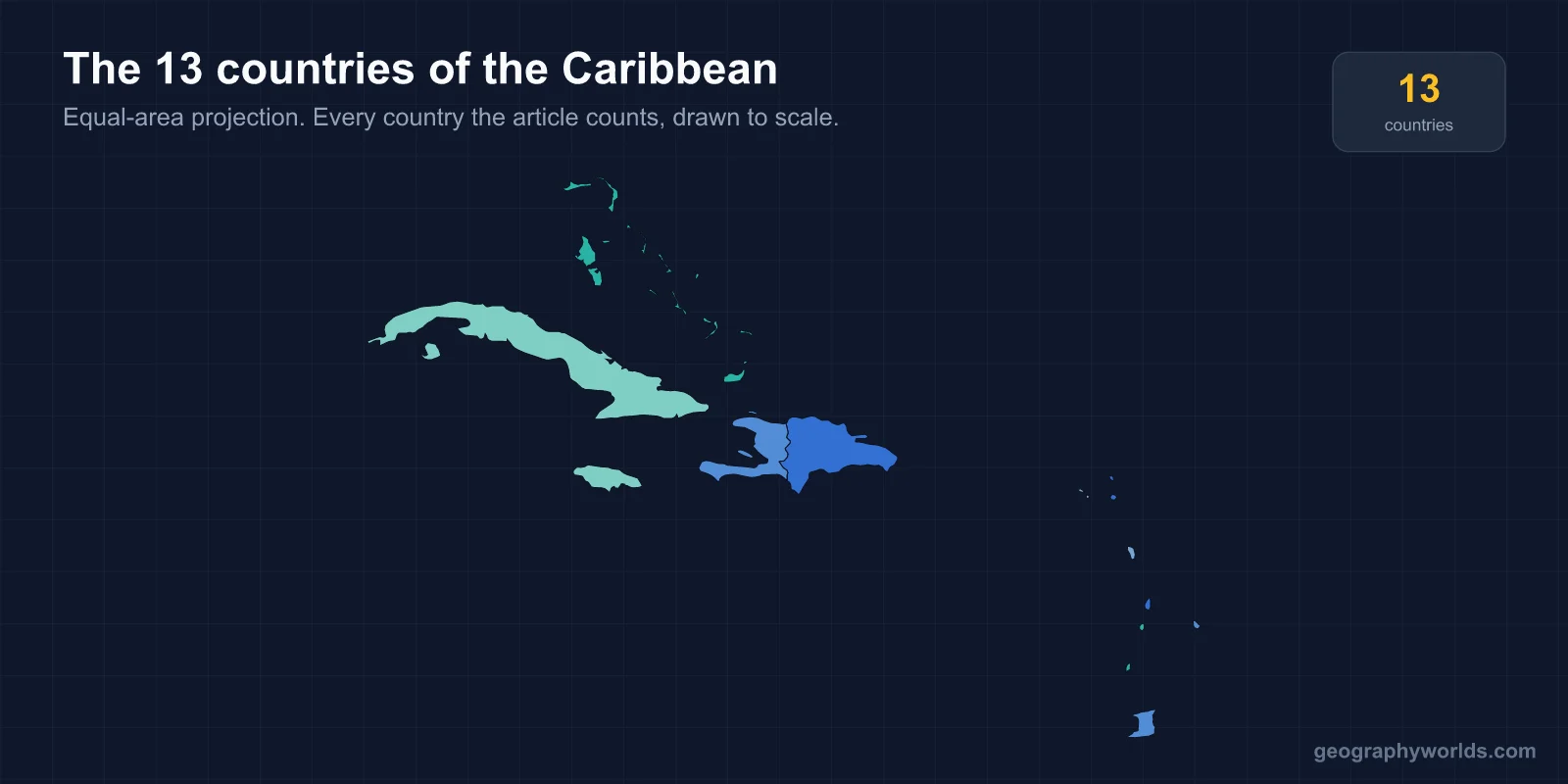
The Caribbean has 13 sovereign countries: Antigua and Barbuda, the Bahamas, Barbados, Cuba, Dominica, the Dominican Republic, Grenada, Haiti, Jamaica, Saint Kitts and Nevis, Saint Lucia, Saint Vincent and the Grenadines, and Trinidad and Tobago. There are roughly twice as many non-sovereign territories in the same water, which is why published counts range from 13 to over 30 without any of them being wrong.
Thirteen Countries Among Thirty-Odd Territories
The Caribbean is the most politically fragmented sea on earth. Alongside the 13 independent states sit Puerto Rico and the US Virgin Islands (American), Guadeloupe, Martinique, Saint Martin and Saint Barthélemy (French, and the first two are full French départements inside the EU), Aruba, Curaçao and Sint Maarten (constituent countries of the Kingdom of the Netherlands), and a dozen British Overseas Territories including the Cayman Islands, Bermuda, Anguilla, Montserrat and the Turks and Caicos.
Four European states and the United States therefore still hold territory here, more than sixty years after the independence era began. Guadeloupe and Martinique use the euro. Puerto Rico's 3.2 million residents are US citizens who cannot vote for the president while resident on the island. Any figure above 13 is counting some or all of these.
-
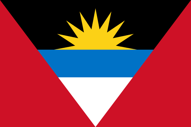 Antigua and Barbuda
-
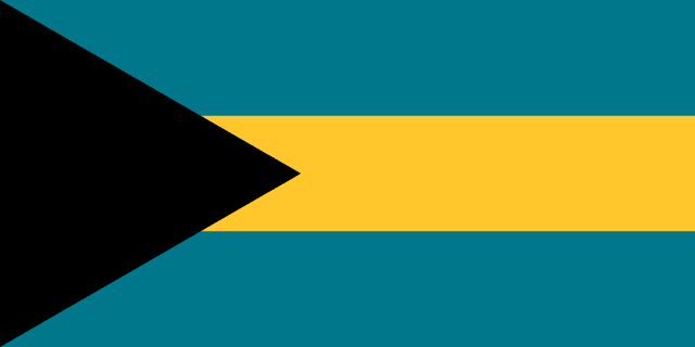 Bahamas
-
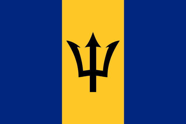 Barbados
-
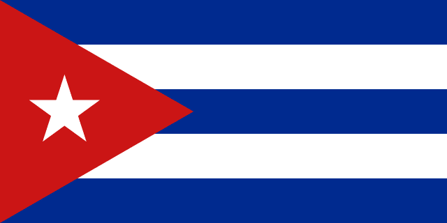 Cuba
Cuba
-
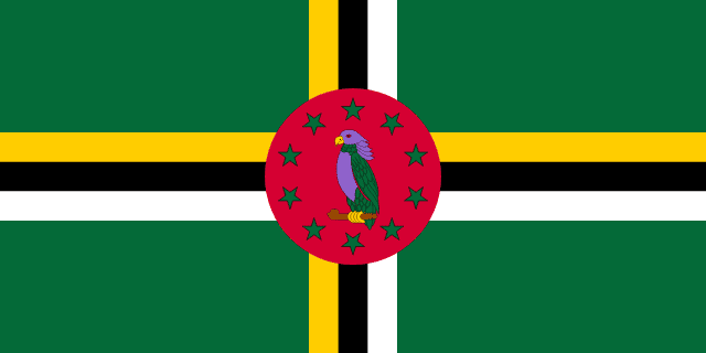 Dominica
-
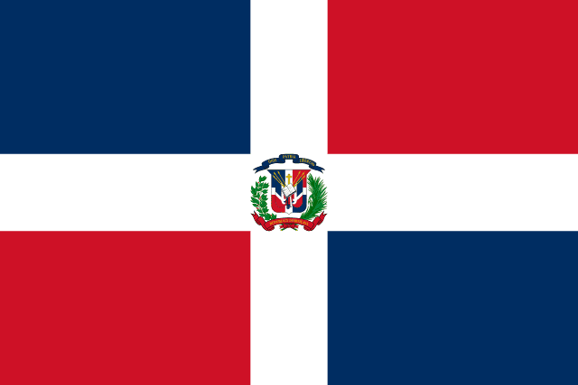 Dominican Republic
-
 Grenada
-
 Haiti
Haiti
-
 Jamaica
-
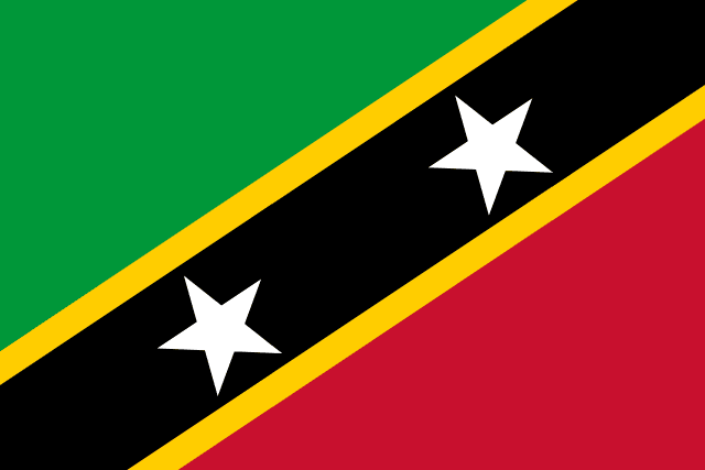 Saint Kitts and Nevis
-
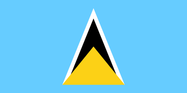 Saint Lucia
-
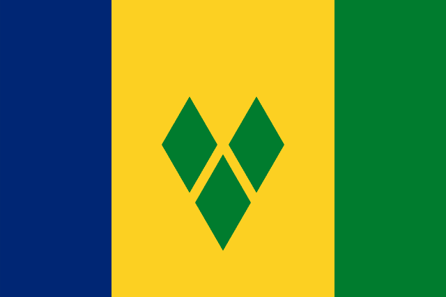 Saint Vincent and the Grenadines
-
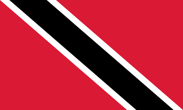 Trinidad and Tobago
The Greater Antilles Hold Almost Everyone
The region divides into two chains of very different weight. The Greater Antilles — Cuba, Hispaniola, Jamaica and Puerto Rico — are large continental-fragment islands. The Lesser Antilles are a volcanic arc of small islands curving south and east toward South America.
- Cuba — about 110,000 km², larger than all the other Caribbean islands combined, with around 11 million people.
- Hispaniola — about 76,000 km², shared by Haiti and the Dominican Republic, and holding over 22 million people between them.
- Jamaica — about 11,000 km², 2.8 million people.
- Trinidad and Tobago — about 5,100 km², and geologically part of South America rather than the Antilles at all; Trinidad sits on the continental shelf, 11 km off Venezuela.
The nine remaining sovereign states are all Lesser Antillean and all small. Saint Kitts and Nevis is 261 km², the smallest country in the Americas by both area and population, with around 48,000 people. Nine of the 13 have populations under half a million.
Hispaniola, the Only Shared Island
Haiti and the Dominican Republic are the only two Caribbean countries that share a land border, and the 376 km between them is one of the sharpest divides in the hemisphere. Haiti became independent in 1804 after the only successful slave revolt in history to produce a state, making it the second-oldest republic in the Americas after the United States. The Dominican Republic declared independence from Haiti — not from Spain — in 1844.
The border shows up from orbit. Haiti's forest cover fell to a small fraction of the island's original woodland through charcoal production and land pressure, while the Dominican side retained far more, and the contrast along the boundary is visible in satellite imagery. Two countries, one island, one of the widest development gaps between immediate neighbours anywhere on earth.
The Independence Wave, 1962 to 1983
Eleven of the 13 became independent inside a single generation, and almost all from the same empire.
Haiti was first in 1804 and the Dominican Republic followed in 1844. Cuba came in 1902, after the Spanish-American War. Then nothing for six decades. Jamaica and Trinidad and Tobago went in 1962, after the collapse of the West Indies Federation — an attempt to combine the British Caribbean into one state, which lasted four years and fell apart when Jamaica voted to leave. Barbados followed in 1966, the Bahamas in 1973, Grenada in 1974, Dominica in 1978, Saint Lucia and Saint Vincent and the Grenadines in 1979, and Antigua and Barbuda in 1981.
Saint Kitts and Nevis was last, on 19 September 1983 — the most recent country to become independent anywhere in the Americas. Nothing has been added since, though Nevis has held a secession referendum of its own: in 1998 it fell just short of the two-thirds majority required, at 62%.
The Bahamas Are Not in the Caribbean Sea
The most common error in counting this region is geographic rather than political. The Bahamas lie in the Atlantic Ocean, north of Cuba and east of Florida, entirely outside the Caribbean Sea. So do the Turks and Caicos. Both are included in every definition of the Caribbean as a region, because the term describes a cultural and political space as much as a body of water.
The same logic pulls in Belize and Guyana, which are on the mainland of Central and South America but are members of the Caribbean Community and are West Indian in language and history. Bermuda sits 1,600 km north in the open Atlantic and is routinely grouped here too. The Caribbean is defined by the sugar-and-slavery economy that shaped it and by the English, French, Spanish and Dutch that came with it, not by a coastline — which is why a strict geographic reading and a cultural one produce different lists.
Four Colonial Languages, Thirteen States
Language maps the empires almost exactly. Spanish is spoken by the large majority of Caribbean people, because Cuba and the Dominican Republic together hold over 22 million; English is the official language of nine of the 13 sovereign states but a minority of the population; French is official in Haiti alongside Haitian Creole, which is what nearly all Haitians actually speak; Dutch survives in Aruba, Curaçao and Sint Maarten, which are not independent.
So the region has a majority-Spanish population, a majority-English set of governments, and its single largest country by population — Haiti, at around 11.5 million — speaking a creole that is not the colonial language at all. Creoles are the norm rather than the exception: Jamaican Patois, Papiamento in the Dutch islands, and the French-based Kwéyòl of Saint Lucia and Dominica all function as first languages beside an official one.
This is why the count feels harder than it is. The Caribbean reads as one place from outside and as four or five distinct spheres from inside, and each sphere kept its own institutions after independence.
What CARICOM Covers That the Count Does Not
The Caribbean Community, founded by the Treaty of Chaguaramas in 1973, has 15 full members and 5 associates. Twelve of the 13 sovereign states belong; Cuba and the Dominican Republic do not, and Haiti joined only in 2002. The two mainland members, Belize and Guyana, along with Suriname, are why CARICOM's membership does not match any list of Caribbean countries.
The Organisation of Eastern Caribbean States is a tighter grouping of seven Lesser Antillean members that share a currency — the Eastern Caribbean dollar, pegged to the US dollar at 2.70 since 1976 and one of the longest-standing fixed pegs in the world — plus a common central bank and supreme court. For states of 50,000 to 180,000 people, pooling institutions is less a preference than a requirement.
Volcanoes Under the Lesser Antilles
The Lesser Antilles are a volcanic arc, formed where the Atlantic plate subducts beneath the Caribbean plate, and the arc is active. Montserrat's Soufrière Hills volcano began erupting in 1995 and buried Plymouth, the capital; the southern two-thirds of the island remain an exclusion zone and the population fell from around 11,000 to under 5,000. The capital has never been rebuilt, making Plymouth the only abandoned capital city in the world that remains the de jure seat of government.
Saint Vincent's La Soufrière erupted explosively in April 2021, forcing about 20,000 people from the north of the island. Dominica has nine potentially active volcanoes in 750 km², one of the highest densities on earth, and the Boiling Lake in its interior is the second-largest hot spring in the world.
The same geology gives Trinidad its oil and gas — which comes from the South American shelf rather than the arc, and is the reason Trinidad and Tobago has the highest GDP per capita among the 13 while most of its neighbours depend on tourism.
One Hurricane Belt, Thirteen Governments
The whole region lies inside the Atlantic hurricane belt, with a season running June to November, and this is the single largest constraint on Caribbean economies. In 2017 Hurricane Maria caused damage estimated at more than 200% of Dominica's annual GDP in a matter of hours; Hurricane Irma made Barbuda uninhabitable and its entire population was evacuated to Antigua, leaving the island empty for the first time in roughly 300 years.
A single storm can erase a decade of growth in a country of 70,000 people, which is why the region has built shared instruments — the Caribbean Catastrophe Risk Insurance Facility, launched in 2007, was the world's first multi-country catastrophe risk pool and pays out within days rather than months.
Thirteen countries across a sea most people picture as a single place is a useful thing to have straight, and the wider North American count of 23 only makes sense once you can separate the sovereign states here from the territories around them; the flag reference is the quickest way to learn to tell them apart.
