
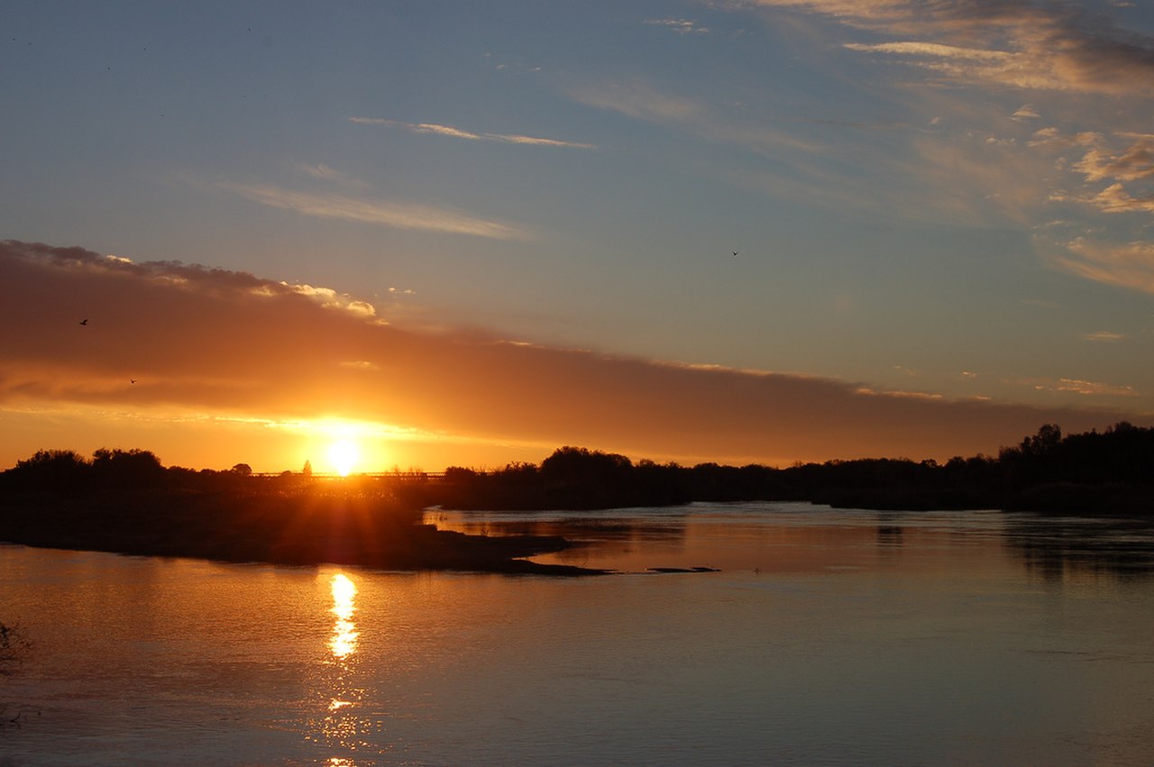
The Orange River is the longest river in South Africa at approximately 2,200 kilometers, rising in the Drakensberg Mountains of Lesotho at over 3,000 meters elevation and flowing westward across the entire width of South Africa to the Atlantic Ocean. It drains a basin of roughly 973,000 square kilometers, covering nearly half of South Africa and portions of Lesotho, Botswana, and Namibia.
Introduction
The river is named after the Dutch House of Orange-Nassau (not the fruit or color) by Colonel Robert Gordon in 1779. It is South Africa's most important water resource, providing irrigation for agriculture in the arid interior, hydroelectric power, and municipal water supply to Johannesburg and other cities via inter-basin transfer schemes.
Source to Sea
- Length: ~2,200 km
- Source: Drakensberg Mountains, Lesotho (~3,350 m elevation)
- Mouth: Atlantic Ocean, at Alexander Bay/Oranjemund
The Orange begins as the Senqu River on the slopes of Mont-aux-Sources in Lesotho, flowing through some of southern Africa's most dramatic mountain scenery. After leaving Lesotho, it passes through the semi-arid Karoo region, receives the Vaal River (its major tributary), and flows along the Namibia-South Africa border for its last 550 kilometers before reaching the Atlantic.
The river's course crosses multiple climate zones, from the wet Drakensberg highlands receiving over 1,500 mm of rainfall annually to the hyper-arid lower reaches where rainfall is below 50 mm per year. By the time the Orange reaches the Atlantic, it has lost most of its water to evaporation, irrigation extraction, and inter-basin transfers.
Geography & Course
- Basin Area: ~973,000 km²
- Countries: South Africa, Lesotho, Namibia, Botswana
- Major Tributary: Vaal River (~1,120 km)
- Augrabies Falls: 56 m high (one of Africa's great waterfalls)
The Augrabies Falls, where the Orange plunges 56 meters into a granite gorge, is one of the most impressive waterfalls in southern Africa. The name comes from the Khoi word meaning "place of great noise." During peak flow, the thundering water can be heard from kilometers away. The surrounding Augrabies Falls National Park protects a unique Nama Karoo ecosystem.
The Orange-Vaal confluence near Kimberley unites South Africa's two greatest rivers. The Vaal drains the economically vital Gauteng Province (home to Johannesburg and Pretoria) and the Free State. The combined system provides water for South Africa's industrial heartland through a complex network of dams and inter-basin transfers.
Climate & Hydrology
- Average Discharge: ~365 m³/s at mouth (highly variable)
- Gariep Dam: 374 km² (South Africa's largest dam by surface area)
- Inter-Basin Transfers: Supplies water to Johannesburg via the Lesotho Highlands Water Project
- Flood Risk: Periodic severe flooding in lower reaches
The Orange River's flow is highly seasonal and variable, with most discharge occurring during summer (December-March). The Gariep Dam, South Africa's largest by surface area, and the Vanderkloof Dam regulate flow for irrigation and power generation. These dams have significantly altered the river's natural flood cycle.
The Lesotho Highlands Water Project is one of Africa's largest infrastructure projects, diverting water from the upper Orange (Senqu) in Lesotho to South Africa's Gauteng Province through a system of dams and tunnels that cross the continental divide. This project supplies roughly 30 percent of Gauteng's water needs.
Ecology & Wildlife
- Fish Species: ~30 native species
- Endemic Species: Several fish species found only in the Orange system
- River Mouth Wetland: Important bird habitat at the Atlantic mouth
- Threatened: Yellowfish species declining due to dams and invasive species
The Orange River system supports several endemic fish species, including the largemouth yellowfish and the Orange River mudfish. However, dam construction, water extraction, and invasive species have significantly impacted native fish populations. Introduced species like common carp, bass, and trout compete with and prey on native species.
The Orange River mouth wetland on the Atlantic coast is an important habitat for waterbirds, including flamingos, pelicans, and numerous migratory species from the Northern Hemisphere. The cold, nutrient-rich Benguela Current offshore supports rich marine ecosystems, and the river's sediment transport plays a role in maintaining beaches along the coast.
Human Geography & History
- Population in Basin: ~14 million
- Diamond Mining: Alluvial diamonds found at river mouth (Oranjemund)
- Agriculture: Irrigation supports viticulture and fruit farming along the river
- Lesotho Highlands: Multi-billion-dollar water transfer project
The lower Orange River valley supports a thriving agricultural sector in an otherwise arid landscape. Irrigation water from the river enables vineyards, citrus orchards, and cotton farms in the Northern Cape. The Upington and Kakamas areas are major table grape and raisin producing regions, exporting to markets worldwide.
The river mouth at Alexander Bay/Oranjemund has been one of the world's richest alluvial diamond areas since diamonds were first discovered there in 1908. De Beers conducted extensive mining operations along the river and coast, and the area continues to produce gem-quality diamonds from deposits carried by the river from kimberlite pipes in the interior.
Key Facts
- The Orange River is ~2,200 km long, draining ~973,000 km² — nearly half of South Africa.
- Augrabies Falls plunges 56 m into a granite gorge on the Orange River.
- The Gariep Dam is South Africa's largest dam, and the Lesotho Highlands project supplies 30% of Gauteng's water.
- The river's name comes from the Dutch House of Orange-Nassau, not the color or fruit.
- Alluvial diamonds at the river mouth have been mined since 1908.
Fun Facts
- The Orange River loses so much water to evaporation and extraction that it barely reaches the Atlantic during dry years.
- Diamonds found at the Orange River mouth were carried hundreds of kilometers from interior kimberlite pipes.
- The Lesotho Highlands Water Project tunnels through mountains at over 2,000 m elevation to transfer water across the continental divide.
- Augrabies Falls gorge was carved by the river through granite over millions of years.
Final Thoughts
The Orange River is South Africa's most important water resource, its 2,200-kilometer course linking the wet Drakensberg highlands with the arid western coast. The river sustains agriculture, industry, and cities far from its banks through an intricate system of dams and transfers. In a water-scarce region facing climate change, the Orange River's management will increasingly determine the economic future of southern Africa.
Test Your Knowledge!
Think you know the world's rivers? Test your knowledge!
Play Geography Games →