
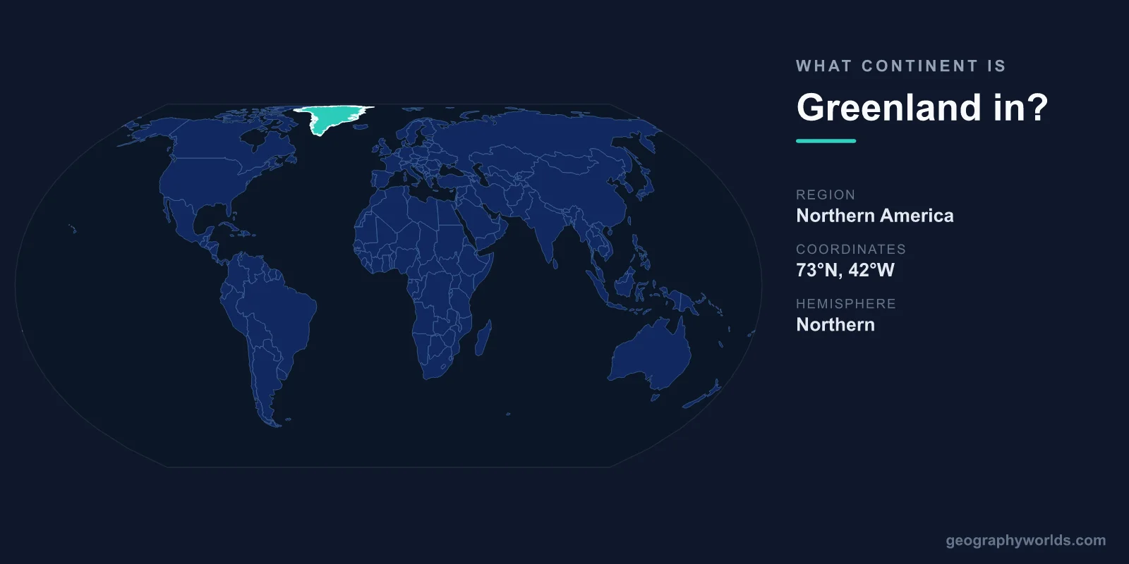
Greenland is in North America. The world's largest island sits on the North American tectonic plate, northeast of Canada, and every major geographic authority classifies it as part of the North American continent — even though it is politically a self-governing territory of Denmark, a European country.
This split between physical geography and political allegiance is exactly why the question comes up so often. On a globe, Greenland clearly belongs to the Americas. On a political map, it is frequently shaded the same color as Denmark and the rest of Europe. Both views are "correct" in their own context, but when people ask which continent Greenland is in, the answer is geographic, and that answer is North America.
The Geographic Answer: North America
Continents are defined by physical geography — landmasses, tectonic plates, and continental shelves — not by who governs them. By that standard, Greenland is unambiguously North American:
- It rests on the North American tectonic plate, the same plate that carries Canada, the United States, and Mexico.
- It lies east of the Canadian Arctic Archipelago, separated from Canada's Ellesmere Island by the narrow Nares Strait.
- At its closest point, Greenland is only about 26 kilometers from Canada, compared with roughly 3,500 kilometers from Denmark.
Geologically, Greenland is built on some of the oldest rock on the planet, part of the ancient North American craton. There is no continental shelf or tectonic boundary linking it to Europe. Whether you measure by plate, by proximity, or by underlying geology, the conclusion is the same.
The Political Twist: A Danish Territory
So why the confusion? Greenland has been tied to Europe for more than a thousand years. Norse settlers led by Erik the Red arrived around 985 CE, and after centuries of intermittent contact Greenland became a Danish colony. In 1953 it was made an integral part of Denmark, and in 1979 it gained home rule, expanded into full self-government in 2009.
Today Greenland controls most of its own domestic affairs while Denmark retains responsibility for defense and foreign policy. It remains part of the Kingdom of Denmark, which is why it appears in a "European" political grouping. The territory even joined the European Economic Community along with Denmark in 1973 — then became the first territory ever to leave it, in 1985, largely over fishing rights.
A Land of Superlatives
Greenland's geography is as extreme as its location is debated. A few figures put it in perspective:
- Area: about 2,166,000 km², making it the largest island on Earth (Australia is larger but classified as a continent).
- Population: roughly 57,000 people, one of the lowest population densities anywhere in the world.
- Capital: Nuuk, home to around a third of the population.
- Highest point: Gunnbjørn Fjeld, at 3,694 meters the tallest mountain north of the Arctic Circle.
The defining feature is the Greenland Ice Sheet, which blankets roughly 80% of the island. It is the second-largest body of ice on the planet after the Antarctic Ice Sheet, and it holds enough frozen water to raise global sea levels by about 7 meters if it ever fully melted. Only the ice-free coastal fringe is habitable, which is why nearly all of Greenland's towns hug the deeply indented coastline — a coastline so jagged with fjords that it stretches more than 44,000 km, longer than the Earth's circumference at the equator.
Why "Greenland" Is Mostly White
The name is one of geography's great ironies. According to the sagas, Erik the Red called it "Greenland" partly to attract settlers, even though most of the island is permanent ice. Meanwhile neighboring Iceland, despite its frosty name, is comparatively green and habitable. The contrast is a favorite trivia question and a reminder that place names rarely match physical reality.
Continent at a Glance
- Continent (geographic): North America
- Political affiliation: Territory of Denmark (Europe)
- Oceans: bordered by the Arctic Ocean and the Atlantic Ocean
- Nearest country: Canada, about 26 km away
If you enjoy untangling these geography puzzles, you can test yourself with our interactive quizzes at our games page, or dig deeper into the wider region in the greenland country guide.
Frequently Asked Questions
Is Greenland part of Europe or North America?
Geographically, Greenland is part of North America — it sits on the North American plate and is closest to Canada. Politically, it belongs to the Kingdom of Denmark, a European country, which is why it is sometimes grouped with Europe on political maps.
Is Greenland its own country?
No. Greenland is a self-governing autonomous territory within the Kingdom of Denmark. It manages most of its internal affairs, but Denmark still handles defense and foreign policy, so it is not a fully independent nation.
Why does Greenland belong to Denmark?
The connection dates back to Norse settlement around 985 CE and later Danish colonization. Greenland became an integral part of Denmark in 1953 and won home rule in 1979 and expanded self-government in 2009, while remaining part of the Danish realm.
How far is Greenland from Canada?
At its nearest point, across the Nares Strait, Greenland lies only about 26 kilometers from Canada's Ellesmere Island — far closer than the roughly 3,500 kilometers separating it from Denmark.