
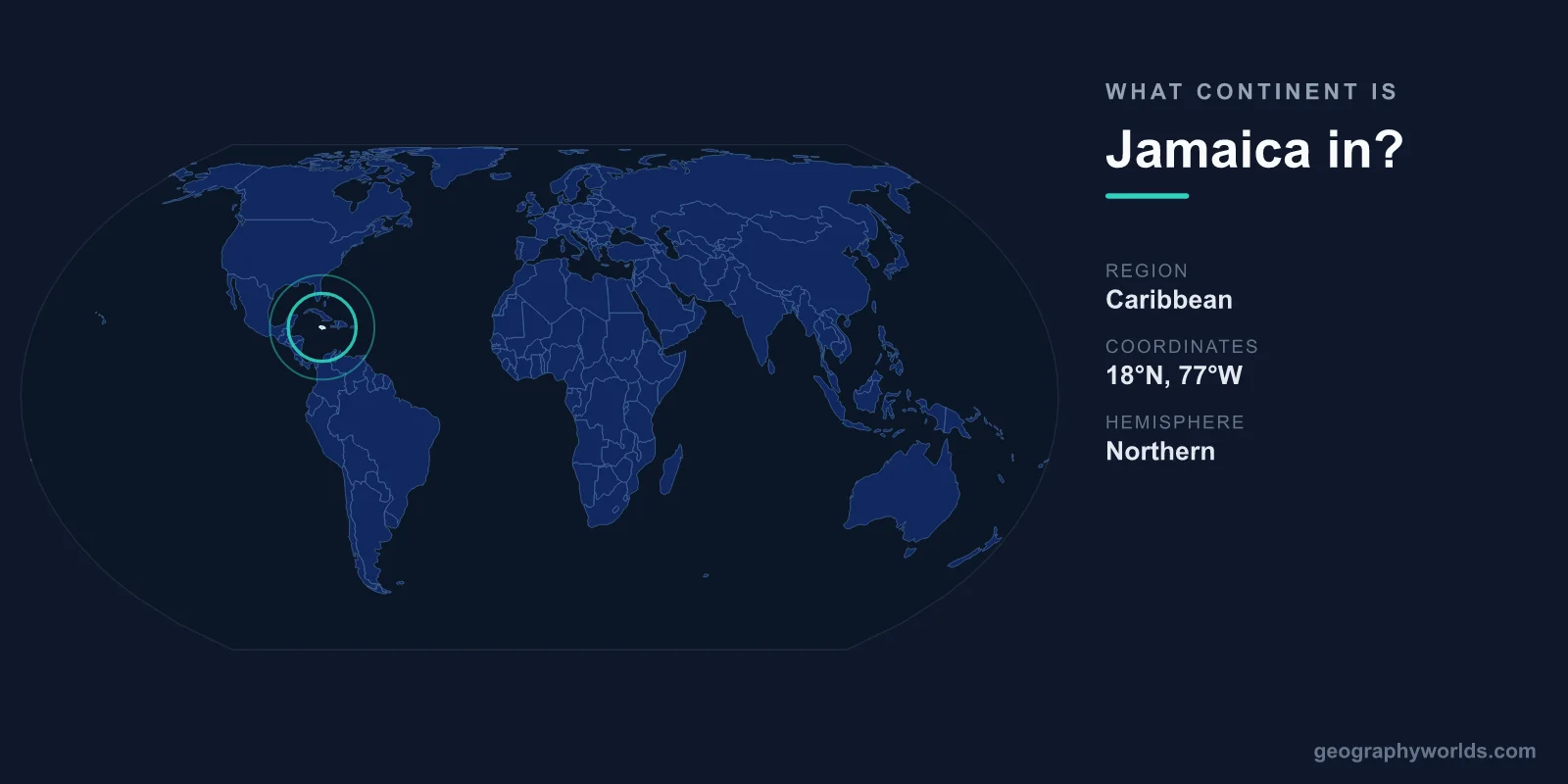
Jamaica is in North America. Although it is a tropical island sitting in the warm waters of the Caribbean Sea, the entire Caribbean region falls within the North American continent under the standard seven-continent model. So while Jamaica may feel a world away from places like the United States or Canada, geographers group it on the same landmass-defined continent as those countries.
Why Jamaica Is Part of North America
The confusion is understandable. Jamaica is an island nation with no land borders, surrounded entirely by sea, and culturally distinct from the mainland Americas. But continents are defined by tectonic and geographic groupings, not by whether a place is attached to a larger landmass. In the seven-continent model used across most of the English-speaking world, North America includes Canada, the United States, Mexico, all of Central America, and the islands of the Caribbean.
Jamaica, therefore, is firmly North American. It is not its own continent, and it is not part of South America, even though it lies relatively close to the northern coast of that continent. The United Nations also classifies Jamaica within the Caribbean sub-region of the Americas, reinforcing its placement in the northern half.
Where Exactly Is Jamaica Located?
Jamaica sits in the northwestern Caribbean Sea, just south of the Tropic of Cancer. Its position relative to its neighbors helps explain its place in the region:
- About 145 km south of Cuba, its nearest large neighbor.
- Roughly 190 km west of Hispaniola, the island shared by Haiti and the Dominican Republic.
- Around 630 km northeast of Honduras in Central America, the closest point on the mainland.
The capital, Kingston, lies on the island's southeastern coast. Jamaica rests on the Caribbean Plate, a tectonic feature that, in continental terms, is grouped with North America. The country has no land borders at all — every direction leads to open water, which is part of why it developed such a strong, self-contained island identity.
Jamaica's Size and Physical Geography
Jamaica covers an area of about 10,991 km², making it the third-largest island in the Caribbean after Cuba and Hispaniola. It stretches roughly 234 km from east to west and has a coastline of around 1,022 km. Despite being a relatively small island, its landscape is remarkably varied.
- The east is dominated by the Blue Mountains, which rise to Blue Mountain Peak at 2,256 m — the highest point in the country.
- The interior features limestone plateaus, including the rugged karst terrain of the Cockpit Country, riddled with sinkholes and caves.
- The coastal margins flatten into plains, sandy beaches, and resort-lined bays that draw millions of visitors each year.
Jamaica has a tropical climate, with warm temperatures year-round, a wet season from roughly May to November, and exposure to the Atlantic hurricane belt. This combination of mountains, forests, and warm coastlines packed into a compact island gives Jamaica some of the most diverse scenery in the Caribbean.
Jamaica's Caribbean Neighbors
Because Jamaica is an island, all of its neighbors are reached by sea or air. Cuba lies to the north, Haiti and the Dominican Republic to the east, and the Cayman Islands (a British Overseas Territory) to the northwest. All of these — like Jamaica itself — are part of the Caribbean region within North America.
This shared geography has shaped a common regional identity. Jamaica is an active member of CARICOM (the Caribbean Community), an organization of Caribbean states that cooperate on trade, travel, and policy. So even without land borders, Jamaica is deeply connected to its North American Caribbean neighbors. To explore more about the country's geography, history, and culture, see our jamaica country guide.
A Few Notable Jamaican Facts
Jamaica's place on the world map comes with an outsized cultural and historical footprint:
- It became the first Caribbean country to gain independence, breaking from British rule in 1962.
- Its Blue Mountain coffee, grown on the slopes of those eastern peaks, is among the most prized and expensive coffees in the world.
- Relative to its small population, Jamaica has won an extraordinary number of Olympic gold medals, especially in sprinting.
Frequently Asked Questions
Is Jamaica in North America or South America?
Jamaica is in North America. Even though it sits in the Caribbean and lies fairly close to South America, all Caribbean islands are classified within the North American continent in the seven-continent model.
Is Jamaica part of the Caribbean or North America?
Both. The Caribbean is a region, not a continent. Jamaica belongs to the Caribbean region, and that region is itself part of the North American continent.
What continent is closest to Jamaica?
Jamaica is part of North America, and the nearest mainland is Central America — the southern part of North America — with Honduras about 630 km to the southwest. South America lies farther to the south.
Does Jamaica share a border with any country?
No. Jamaica is an island nation completely surrounded by the Caribbean Sea, so it has no land borders. Its closest neighbors, reached by sea or air, are Cuba, Haiti, and the Dominican Republic.