
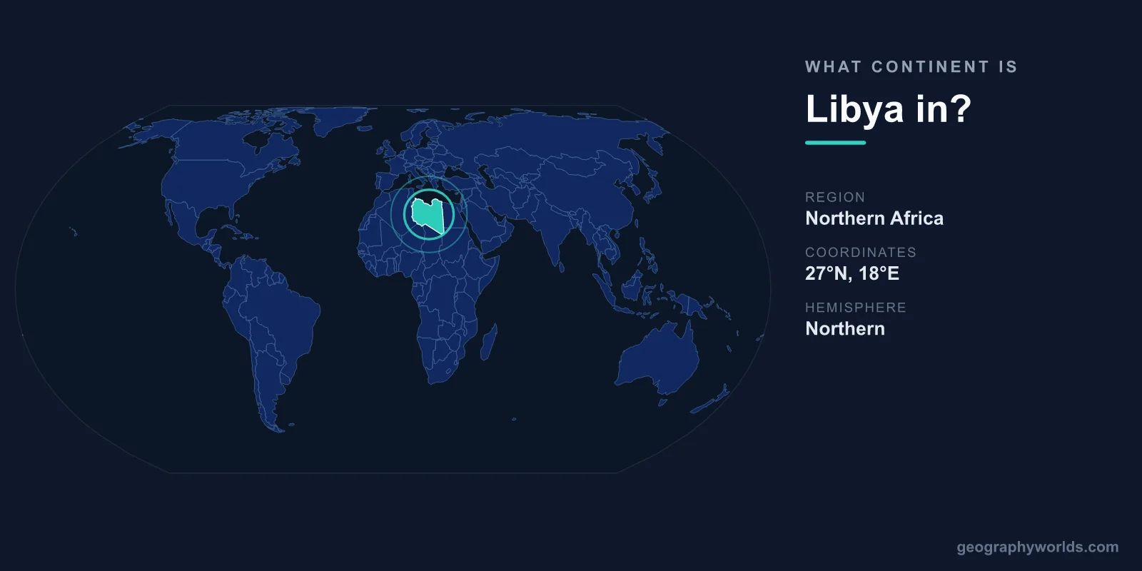
Libya is in Africa, specifically in the North Africa region along the Mediterranean coast. It is the fourth-largest country in Africa and the 16th-largest in the world, covering roughly 1,759,540 km². Nearly 90% of its territory is part of the Sahara Desert, making Libya one of the most arid nations on Earth, with almost all of its people clustered on a thin coastal strip.
Which Continent and Region Is Libya In?
Libya sits firmly on the African continent, in the area the United Nations classifies as Northern Africa. This region also includes Egypt, Tunisia, Algeria, Morocco, and Sudan, and is often grouped culturally with the wider Arab world. Because of this dual identity, Libya holds membership in both the African Union and the Arab League, reflecting its position as a bridge between sub-Saharan Africa and the Mediterranean-facing Maghreb.
Geographically, Libya occupies the central stretch of North Africa's coastline, lying between Egypt to the east and the Maghreb states to the west. Its capital, Tripoli, sits in the northwest near the Tunisian border, while the second city, Benghazi, anchors the northeast. The country's location places it directly across the Mediterranean Sea from Italy and Greece, a proximity that has shaped trade, migration, and conquest for thousands of years.
Where Is Libya on the Map?
Libya is bounded entirely by the Mediterranean Sea to the north and by six African nations on every other side. Its borders run as follows:
- East: Egypt
- Southeast: Sudan
- South: Chad and Niger
- West: Algeria
- Northwest: Tunisia
All six neighbors are African countries, which underscores that Libya is unambiguously continental Africa rather than a transcontinental state. Its coastline stretches about 1,770 km, the longest Mediterranean shoreline of any African country. The sea forms the entire northern frontier, while the deep interior fades into the trackless dunes of the central Sahara.
A Land Dominated by the Sahara
What makes Libya's geography so distinctive is the overwhelming dominance of desert. Around 90% of the country is Saharan terrain, including the harsh Libyan Desert in the east, one of the driest and most barren places on the planet. Some interior areas can go years without measurable rainfall, and vast regions remain almost entirely uninhabited.
Despite this aridity, the landscape is not uniform. The Ubari Sand Sea in the southwest hides spring-fed lakes among towering dunes, remnants of a wetter prehistoric era. The highest point, Bikku Bitti, rises to 2,267 m in the remote Tibesti range on the border with Chad. Between the coast and the deep desert lie semi-arid plateaus and the fertile Jefara Plain near Tripoli, where farming and most settlement are possible.
Libya's climate is overwhelmingly arid to hyper-arid. The narrow coastal belt enjoys a milder Mediterranean climate with mild, wet winters and hot, dry summers, which is precisely why the overwhelming majority of Libya's roughly 7 million people live within reach of the sea.
How Libya Compares in Size and Population
Libya's sheer scale is striking. At about 1.76 million km², it is larger than the U.S. state of Alaska and bigger than any country in Western Europe. Yet its population of around 7 million is modest for such a vast territory, giving Libya one of the lowest population densities in Africa.
This combination of enormous area and small, coast-hugging population means that most of the nation's interior is empty desert. The contrast helps explain why Libya, though ranked fourth in African land area behind Algeria, the Democratic Republic of the Congo, and Sudan, has far fewer inhabitants than many smaller African nations. To explore more about the country's people, history, and travel highlights, see our libya country guide.
Frequently Asked Questions
Is Libya in Africa or the Middle East?
Libya is geographically in Africa, within the North Africa region. However, because of its Arabic language, culture, and history, it is also often included in discussions of the broader Middle East and North Africa (MENA) region. Politically, it belongs to both the African Union and the Arab League.
What part of Africa is Libya in?
Libya is in northern Africa, on the Mediterranean coast. It lies in the central section of the North African coastline, between Egypt to the east and Tunisia and Algeria to the west, with the Sahara Desert stretching across its southern interior.
What countries border Libya?
Libya borders six countries: Egypt, Sudan, Chad, Niger, Algeria, and Tunisia. All of them are in Africa. To the north, the Mediterranean Sea separates Libya from southern Europe, including Italy and Greece.
What is the capital of Libya?
The capital of Libya is Tripoli, located on the northwestern Mediterranean coast. It is the country's largest city and main port, serving as the center of government, commerce, and culture.
