
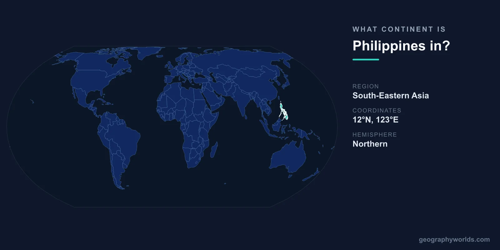
The Philippines is in Asia, specifically in the Southeast Asia subregion of the continent. This sprawling archipelago of more than 7,600 islands lies in the western Pacific Ocean, off the southeastern coast of mainland Asia. Although it is separated from the Asian landmass by water, the Philippines is firmly Asian in geography, culture, and politics, and it is one of the founding members of the Association of Southeast Asian Nations (ASEAN).
Why the Philippines Belongs to Asia
Continents are defined by both physical geography and long-established convention, and on every standard map the Philippines sits within Asia. It is grouped with the maritime countries of Southeast Asia, the same family that includes Indonesia, Malaysia, Vietnam, and Thailand. The United Nations geoscheme places it in the Southeast Asia region, and ASEAN membership cements its political identity as an Asian nation.
The confusion some people feel is understandable. The Philippines has no land border with any other country, and it lies far enough into the Pacific that it can feel detached from "mainland" Asia. Yet island nations belong to the continent they are most closely associated with geologically and culturally, and the Philippine islands rise from the Asian side of the Pacific. There is no doubt about the answer: the Philippines is an Asian country.
Where Exactly the Philippines Sits
The Philippines occupies a strategic position between two major bodies of water. To the east lies the Philippine Sea, part of the vast Pacific Ocean, while to the west sits the South China Sea, which connects the country to mainland Southeast Asia. Its capital, Manila, is located on the island of Luzon in the northern part of the country.
- Continent: Asia
- Region: Southeast Asia
- Capital: Manila
- Total area: roughly 300,000 km²
- Islands: 7,641
The archipelago stretches across three main island groups. Luzon dominates the north and holds the capital region; the Visayas form the central cluster of smaller islands; and Mindanao anchors the south. Of the more than 7,600 islands, only about 2,000 are inhabited, and many are tiny, unnamed outcrops that appear and disappear with the tides.
Asia's Pacific Frontier and the Ring of Fire
Geographically, the Philippines marks one of Asia's outermost edges, sitting on the western rim of the Pacific Ring of Fire. This belt of intense seismic and volcanic activity wraps around the Pacific Ocean and gives the country dozens of active volcanoes, including Mount Mayon and Taal. The nation's highest point, Mount Apo on Mindanao, rises to 2,954 metres.
This location also shapes daily life. The Philippines has one of the world's longest coastlines, stretching for tens of thousands of kilometres, and it sits squarely in the Pacific typhoon belt. The country is struck by an average of about 20 tropical cyclones each year, making it one of the most storm-exposed nations on Earth. Its tropical maritime climate brings warmth and humidity year-round, supporting some of the planet's richest marine biodiversity.
Maritime Neighbours in Southeast Asia
Because it is entirely surrounded by sea, the Philippines shares no land borders, but it has several close maritime neighbours that confirm its Southeast Asian setting:
- Taiwan lies a short distance to the north, across the Luzon Strait.
- Vietnam sits to the west, across the South China Sea.
- Malaysia and Indonesia are to the south and southwest.
- Palau lies to the east, out in the Pacific.
These neighbours place the Philippines at the heart of maritime Southeast Asia. Its centuries of Spanish and later American colonial rule layered Hispanic and Western influences over a deeply Asian foundation, producing a culture that blends Catholic traditions, Malay roots, and Pacific island life. The result is distinctive, but the underlying geography and ethnic makeup remain unmistakably Southeast Asian. You can read more in our philippines country guide.
A Few Facts That Set the Philippines Apart
The country's island geography gives it a number of remarkable features. The Puerto Princesa Underground River on Palawan is celebrated as one of the New 7 Wonders of Nature, carving a navigable channel beneath a limestone mountain straight into the sea. The Philippines is also famous for the longest Christmas season in the world, with festivities beginning as early as September.
The nation takes its name from King Philip II of Spain, after Spanish explorers claimed the islands in the 16th century. Today it ranks among the most populous countries on the planet, with Manila as its capital and Quezon City as its most populous city. With its position on the Pacific frontier of Asia, the Philippines remains one of the continent's most geographically fascinating nations.
Frequently Asked Questions
Is the Philippines in Asia or Oceania?
The Philippines is in Asia, not Oceania. While it lies in the western Pacific Ocean, it is classified as part of Southeast Asia and is a member of ASEAN. Oceania includes Australia and the Pacific island groups farther east and south.
What region of Asia is the Philippines in?
The Philippines is in Southeast Asia, the same region as Indonesia, Malaysia, Thailand, and Vietnam. It is a maritime, archipelagic nation rather than a mainland country.
Does the Philippines border any country by land?
No. As an archipelago surrounded entirely by water, the Philippines has no land borders. Its nearest maritime neighbours include Taiwan, Vietnam, Malaysia, Indonesia, and Palau.
How many islands make up the Philippines?
The Philippines is composed of 7,641 islands, organised into three main groups: Luzon in the north, the Visayas in the centre, and Mindanao in the south. Only around 2,000 of these islands are inhabited.