
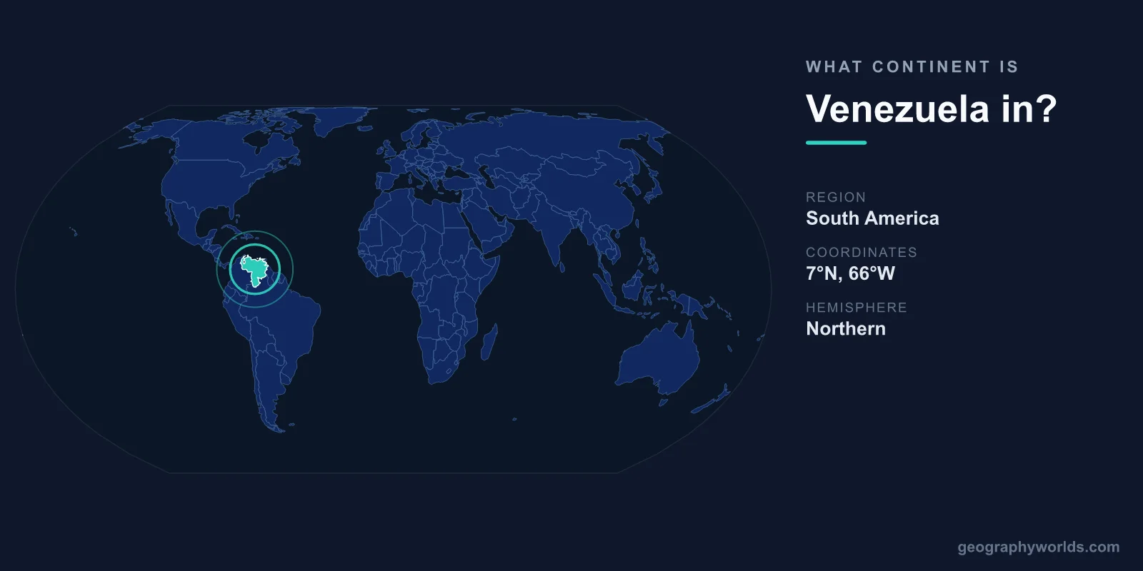
Venezuela is in South America, sitting on the continent's northern coast where the land meets the Caribbean Sea and the Atlantic Ocean. Officially the Bolivarian Republic of Venezuela, the country anchors the top of the continent, sharing land borders only with other South American nations: Colombia to the west, Brazil to the south, and Guyana to the east.
Why Venezuela Is a South American Country
Geographers, the United Nations, and every standard world atlas place Venezuela firmly in South America. The continent is the southern half of the Americas, separated from North America at the Isthmus of Panama, and Venezuela occupies its northernmost edge. Although its long Caribbean coastline links it closely to island nations like Trinidad and Tobago and the Dutch ABC islands of Aruba, Bonaire, and Curaçao, Venezuela itself is mainland South American territory.
The country covers roughly 916,445 square kilometres, making it one of the larger nations on the continent. Its capital, Caracas, sits in a mountain valley near the Caribbean coast. Venezuela's position has shaped its identity: it is both a South American republic and an important Caribbean power, a dual role reflected in its membership of regional blocs and, historically, as a founding member of OPEC in 1960.
Where Venezuela Sits on the Map
Venezuela lies entirely within the Northern Hemisphere, just above the Equator, with most of its territory falling between about 1° and 12° north latitude. This places it firmly in the tropics, which explains its warm, humid climate year-round. To the north stretches more than 2,800 kilometres of Caribbean coastline, while the country's eastern flank touches the Atlantic Ocean near the mouth of the Orinoco River.
Its neighbours tell the same continental story:
- Colombia shares the long western border, including stretches of the Andes mountains.
- Brazil lies to the south, across the densely forested Guiana Highlands.
- Guyana borders the east, a frontier marked by the long-running Essequibo territorial dispute.
Beyond the mainland, Venezuela governs dozens of Caribbean islands, including Margarita Island, a popular destination, and the Los Roques archipelago.
The Diverse Geography of Northern South America
Few countries pack as much variety into one nation as Venezuela. Its territory divides into four broad regions. In the west rise the Venezuelan Andes, crowned by Pico Bolívar at 4,978 metres, the highest point in the country. Along the north runs the Caribbean coastal range and the lowlands around Lake Maracaibo, one of the largest and oldest lakes in South America and the heart of the nation's oil industry.
The centre of the country is dominated by the Llanos, vast tropical grasslands drained by the mighty Orinoco River, which is among the longest rivers on the continent. To the southeast lie the ancient Guiana Highlands, home to the dramatic flat-topped mountains called tepuis. It is here that Angel Falls plunges 979 metres, making it the tallest uninterrupted waterfall on Earth. This astonishing range of landscapes, from snow-capped Andean peaks to tropical rainforest, exists entirely because of Venezuela's place at the meeting point of the Andes, the Caribbean, and the Amazon basin.
A Caribbean and South American Identity
Venezuela's culture reflects its dual geography. Its history as a Spanish colony, its independence under Simón Bolívar, and its mainland borders make it unmistakably South American. Yet the rhythm of the Caribbean shapes its music, cuisine, and coastal way of life. The very name "Venezuela" hints at this maritime heritage: it is often said to mean "Little Venice," after early European explorers spotted stilt houses built over the water on Lake Maracaibo. To dig deeper into the country's regions, cities, and natural wonders, explore our venezuela country guide.
Frequently Asked Questions
Is Venezuela in North or South America?
Venezuela is in South America. While its northern coast borders the Caribbean Sea, the entire country is part of the South American continent and shares land borders only with Colombia, Brazil, and Guyana.
Is Venezuela a Caribbean country?
Venezuela is a South American country with a long Caribbean coastline and many Caribbean islands. It is sometimes grouped culturally and geographically with the Caribbean region, but politically and geographically it belongs to South America.
What countries border Venezuela?
Venezuela shares land borders with three countries: Colombia to the west, Brazil to the south, and Guyana to the east. Trinidad and Tobago lies just offshore to the northeast across a narrow strait.
What is the capital of Venezuela?
The capital is Caracas, located in a valley near the northern Caribbean coast. It is the country's largest city and its political, cultural, and economic centre.
In short, Venezuela is a quintessentially South American nation, occupying the continent's tropical northern shore where the Andes, the Orinoco plains, and the Caribbean Sea all converge into one remarkably varied country.