
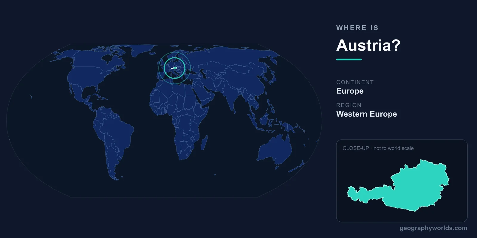
Austria is a landlocked country in Central Europe, sitting in the heart of the Alps and bordered by eight neighbouring nations. Its capital, Vienna, lies in the country's northeast on the Danube River, and Austria covers roughly 83,871 km² in the Northern and Eastern Hemispheres.
Where Austria Sits on the Map
Austria occupies a central position in Europe, wedged between the German-speaking north and the Mediterranean and Balkan south. It spans about 9 to 17 degrees east longitude and 46 to 49 degrees north latitude, placing it on roughly the same parallel as the U.S.–Canada border region of Montana, but with a far milder, more continental Alpine climate.
The country is elongated east to west, stretching nearly 575 km across, narrowing dramatically toward its western tip near Liechtenstein. Because it has no coastline, Austria relies on the Danube and overland routes to connect with the wider world, a geography that has shaped its history as a crossroads of trade and empire for centuries.
The Eight Countries That Border Austria
Few countries touch as many neighbours as Austria. It shares land borders with eight states, making it one of Europe's most connected nations:
- Germany and the Czech Republic to the north
- Slovakia and Hungary to the east
- Slovenia and Italy to the south
- Switzerland and Liechtenstein to the west
This ring of neighbours has long made Austria a meeting point of cultures, languages and economies. Vienna in particular sits closer to several foreign capitals — Bratislava, Budapest and Prague — than to many parts of western Austria, underlining how firmly the country is embedded in Central Europe.
A Land Defined by the Alps
Geography in Austria means mountains. The Eastern Alps cover roughly two-thirds of the country, climbing to the Grossglockner at about 3,798 metres, Austria's highest peak. These ranges fan out across the western and southern provinces such as Tyrol and Salzburg, giving the country its famous ski resorts, glaciers and deep valleys.
By contrast, the east and northeast flatten into lowlands. The Danube valley and the plains around Vienna and the Pannonian Basin are far more suitable for farming and dense settlement, which is why most Austrians live in this eastern lowland belt rather than in the high mountains.
Climate, People and Practical Details
Austria's location produces a temperate, transitional climate: cold, snowy Alpine winters in the west, warmer continental summers in the eastern plains. Around 9 million people live here, the great majority German-speaking, with Roman Catholic Christianity shaping many of the country's traditions and holidays.
As a member of the European Union and the Eurozone, Austria uses the Euro (EUR) and is governed as a federal parliamentary republic of nine states. For a fuller picture of its regions, history and travel highlights, see our austria country guide.
Frequently Asked Questions
Is Austria part of Germany?
No. Austria is a fully independent country with its own government, parliament and head of state. It shares the German language and a long, intertwined history with Germany, but the two have been separate sovereign nations for most of modern times.
Does Austria have a coastline?
No, Austria is landlocked, with no direct access to the sea. Its main waterway is the Danube River, which flows eastward through the country and links it by river to neighbours like Slovakia and Hungary and, ultimately, the Black Sea.
What continent is Austria in?
Austria is in Europe, specifically Central Europe. It lies in both the Northern and Eastern Hemispheres and is one of the core states of the European Union.